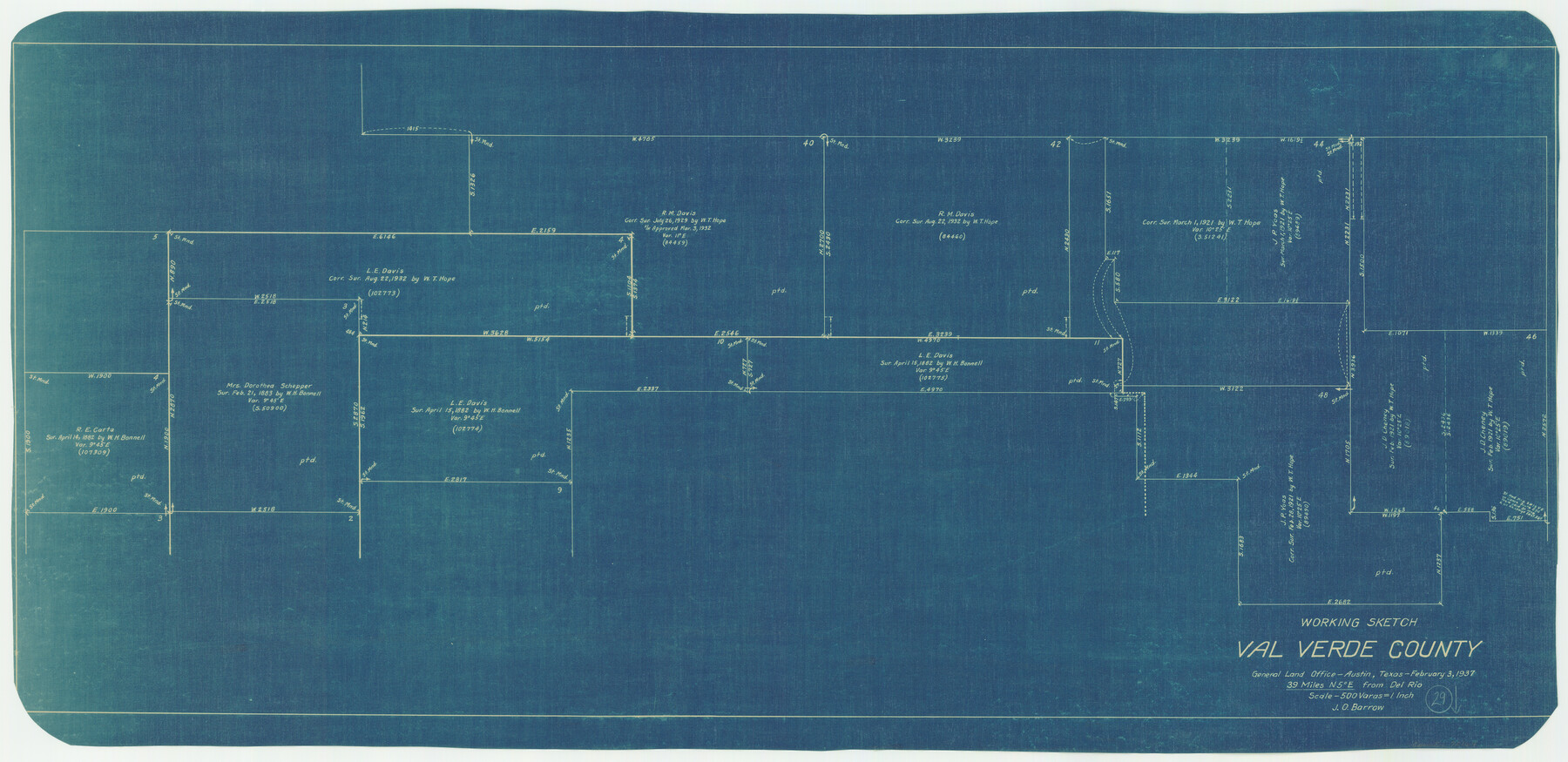
Val Verde County Working Sketch 29
-
Map/Doc
72164
-
Collection
General Map Collection
-
Object Dates
2/3/1937 (Creation Date)
-
People and Organizations
J.O. Barrow (Draftsman)
-
Counties
Val Verde
-
Subjects
Surveying Working Sketch
-
Height x Width
20.2 x 41.6 inches
51.3 x 105.7 cm
-
Scale
1" = 500 varas
Part of: General Map Collection
Jefferson County Rolled Sketch 22

Print $92.00
- Digital $50.00
Jefferson County Rolled Sketch 22
1936
Size 20.4 x 73.1 inches
Map/Doc 9287
Flight Mission No. CLL-3N, Frame 16, Willacy County

Print $20.00
- Digital $50.00
Flight Mission No. CLL-3N, Frame 16, Willacy County
1954
Size 18.5 x 22.1 inches
Map/Doc 87082
Flight Mission No. DCL-6C, Frame 49, Kenedy County

Print $20.00
- Digital $50.00
Flight Mission No. DCL-6C, Frame 49, Kenedy County
1943
Size 18.6 x 22.5 inches
Map/Doc 85891

Brazoria County Sketch File 12a

Print $4.00
- Digital $50.00
Brazoria County Sketch File 12a
1886
Size 11.2 x 8.5 inches
Map/Doc 14971
Upton County Sketch File 44

Print $4.00
- Digital $50.00
Upton County Sketch File 44
Size 3.9 x 8.7 inches
Map/Doc 38931
Fort Bend County

Print $20.00
- Digital $50.00
Fort Bend County
1865
Size 18.2 x 21.8 inches
Map/Doc 3550
Hudspeth County Working Sketch 33

Print $20.00
- Digital $50.00
Hudspeth County Working Sketch 33
1977
Size 26.8 x 21.4 inches
Map/Doc 66318
[Surveys possibly in Austin County]
![78356, [Surveys possibly in Austin County], General Map Collection](https://historictexasmaps.com/wmedia_w700/maps/78356.tif.jpg)
Print $3.00
- Digital $50.00
[Surveys possibly in Austin County]
Size 17.0 x 9.6 inches
Map/Doc 78356
Hemphill County Rolled Sketch 13

Print $20.00
- Digital $50.00
Hemphill County Rolled Sketch 13
1905
Size 20.7 x 28.9 inches
Map/Doc 6193
Blanco County Rolled Sketch 16

Print $20.00
- Digital $50.00
Blanco County Rolled Sketch 16
Size 18.8 x 19.4 inches
Map/Doc 5152
Flight Mission No. CRC-2R, Frame 53, Chambers County

Print $20.00
- Digital $50.00
Flight Mission No. CRC-2R, Frame 53, Chambers County
1956
Size 18.5 x 22.4 inches
Map/Doc 84726
You may also like
Jefferson County Rolled Sketch 35

Print $20.00
- Digital $50.00
Jefferson County Rolled Sketch 35
1957
Size 37.9 x 26.0 inches
Map/Doc 6394
Tarrant County

Print $20.00
- Digital $50.00
Tarrant County
1857
Size 20.9 x 15.4 inches
Map/Doc 4628
La Salle County Working Sketch 39

Print $20.00
- Digital $50.00
La Salle County Working Sketch 39
1963
Size 30.4 x 25.4 inches
Map/Doc 70340
Swisher County

Print $20.00
- Digital $50.00
Swisher County
1910
Size 45.3 x 39.1 inches
Map/Doc 63054
University Land Field Notes for Block 35 in Crane and Ector Counties

University Land Field Notes for Block 35 in Crane and Ector Counties
Map/Doc 81714
Brooks County Rolled Sketch 26

Print $20.00
- Digital $50.00
Brooks County Rolled Sketch 26
1945
Size 33.7 x 43.3 inches
Map/Doc 8539

Pecos County Sketch File 34

Print $4.00
- Digital $50.00
Pecos County Sketch File 34
Size 11.1 x 8.5 inches
Map/Doc 33714
Flight Mission No. DAG-17K, Frame 70, Matagorda County

Print $20.00
- Digital $50.00
Flight Mission No. DAG-17K, Frame 70, Matagorda County
1952
Size 18.6 x 22.4 inches
Map/Doc 86329
Edwards County Working Sketch 37

Print $20.00
- Digital $50.00
Edwards County Working Sketch 37
1948
Size 23.1 x 35.5 inches
Map/Doc 68913
Kinney County Working Sketch 4

Print $20.00
- Digital $50.00
Kinney County Working Sketch 4
1907
Size 21.1 x 21.6 inches
Map/Doc 70186
Preliminary Chart of the Entrance to Matagorda Bay, Texas

Print $20.00
Preliminary Chart of the Entrance to Matagorda Bay, Texas
1857
Size 20.2 x 32.9 inches
Map/Doc 76247