Brewster County Sketch File S-17
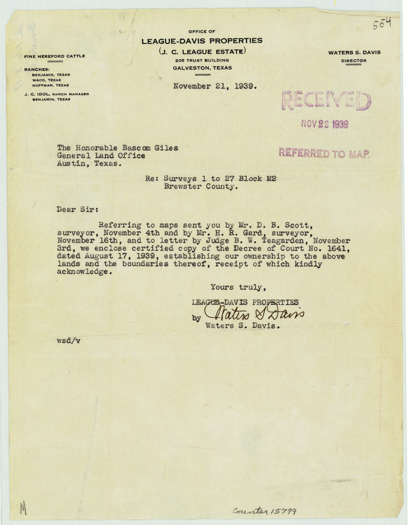
[Letter and certified copy of Decree of Court No. 1641 - Walter S. Davis, Jr. et al. vs. Asa A. Jones, et al. - provided by League Davis Properties to establish ownership of surveys 1 to 27, Block M2]
-
Map/Doc
15799
-
Collection
General Map Collection
-
Object Dates
1939/11/21 (Creation Date)
1939/11/22 (File Date)
-
People and Organizations
Waters S. Davis (Author)
-
Counties
Brewster
-
Subjects
Surveying Sketch File
-
Height x Width
11.3 x 8.8 inches
28.7 x 22.4 cm
-
Medium
paper, print
-
Comments
Decree of Court dated August 17, 1939.
-
Features
Rio Grande
San Francisco Creek
Bullis Gap
Part of: General Map Collection
Capitol Grounds, Austin

Print $20.00
- Digital $50.00
Capitol Grounds, Austin
Size 35.4 x 40.5 inches
Map/Doc 16955
Burnet County Sketch File 1

Print $40.00
- Digital $50.00
Burnet County Sketch File 1
1847
Size 16.1 x 12.4 inches
Map/Doc 16670
Runnels County Boundary File 2

Print $36.00
- Digital $50.00
Runnels County Boundary File 2
Size 14.4 x 8.8 inches
Map/Doc 58517
Flight Mission No. BQR-22K, Frame 35, Brazoria County

Print $20.00
- Digital $50.00
Flight Mission No. BQR-22K, Frame 35, Brazoria County
1953
Size 18.7 x 22.5 inches
Map/Doc 84119
Colton's Map of the United States of America

Print $20.00
- Digital $50.00
Colton's Map of the United States of America
1866
Size 21.3 x 36.7 inches
Map/Doc 93642
Houston County Sketch File 6a

Print $4.00
- Digital $50.00
Houston County Sketch File 6a
Size 10.2 x 8.1 inches
Map/Doc 26762
El Paso County Sketch File 13

Print $8.00
- Digital $50.00
El Paso County Sketch File 13
1905
Size 7.4 x 6.8 inches
Map/Doc 22005
Preliminary survey of the entrance to the Rio Grande, Texas

Print $20.00
- Digital $50.00
Preliminary survey of the entrance to the Rio Grande, Texas
1854
Size 18.3 x 24.5 inches
Map/Doc 73005
Baylor County Sketch File Z3

Print $8.00
- Digital $50.00
Baylor County Sketch File Z3
1908
Size 12.9 x 8.3 inches
Map/Doc 14110
Roberts County Boundary File 2d

Print $20.00
- Digital $50.00
Roberts County Boundary File 2d
Size 9.1 x 28.1 inches
Map/Doc 58366
Aransas County Sketch File 30

Print $74.00
- Digital $50.00
Aransas County Sketch File 30
Size 14.2 x 8.7 inches
Map/Doc 13237
Edwards County Sketch File ABC

Print $12.00
- Digital $50.00
Edwards County Sketch File ABC
1913
Size 14.5 x 9.1 inches
Map/Doc 21662
You may also like
Polk County Sketch File 11a

Print $4.00
- Digital $50.00
Polk County Sketch File 11a
Size 8.1 x 9.7 inches
Map/Doc 34144
Wharton County Sketch File 14

Print $70.00
- Digital $50.00
Wharton County Sketch File 14
1895
Size 9.7 x 6.2 inches
Map/Doc 39938
Childress County

Print $20.00
- Digital $50.00
Childress County
1883
Size 20.6 x 17.4 inches
Map/Doc 3393
Washington County

Print $20.00
- Digital $50.00
Washington County
1871
Size 11.9 x 27.7 inches
Map/Doc 4123
Lamb-Castro County Line

Print $20.00
- Digital $50.00
Lamb-Castro County Line
Size 45.2 x 14.8 inches
Map/Doc 91059
Bandera County Working Sketch 23

Print $20.00
- Digital $50.00
Bandera County Working Sketch 23
1950
Size 35.8 x 29.6 inches
Map/Doc 67619
Blanco County Sketch File 29

Print $40.00
- Digital $50.00
Blanco County Sketch File 29
1888
Size 14.2 x 13.2 inches
Map/Doc 14625
Brazoria County NRC Article 33.136 Sketch 18

Print $24.00
- Digital $50.00
Brazoria County NRC Article 33.136 Sketch 18
2015
Size 24.0 x 36.0 inches
Map/Doc 95066
Matagorda County Sketch File 24

Print $10.00
- Digital $50.00
Matagorda County Sketch File 24
1900
Size 8.2 x 5.1 inches
Map/Doc 30787
Flight Mission No. DAG-21K, Frame 99, Matagorda County

Print $20.00
- Digital $50.00
Flight Mission No. DAG-21K, Frame 99, Matagorda County
1952
Size 17.5 x 16.3 inches
Map/Doc 86428

Harris County Historic Topographic A

Print $20.00
- Digital $50.00
Harris County Historic Topographic A
1916
Size 26.1 x 19.0 inches
Map/Doc 65849