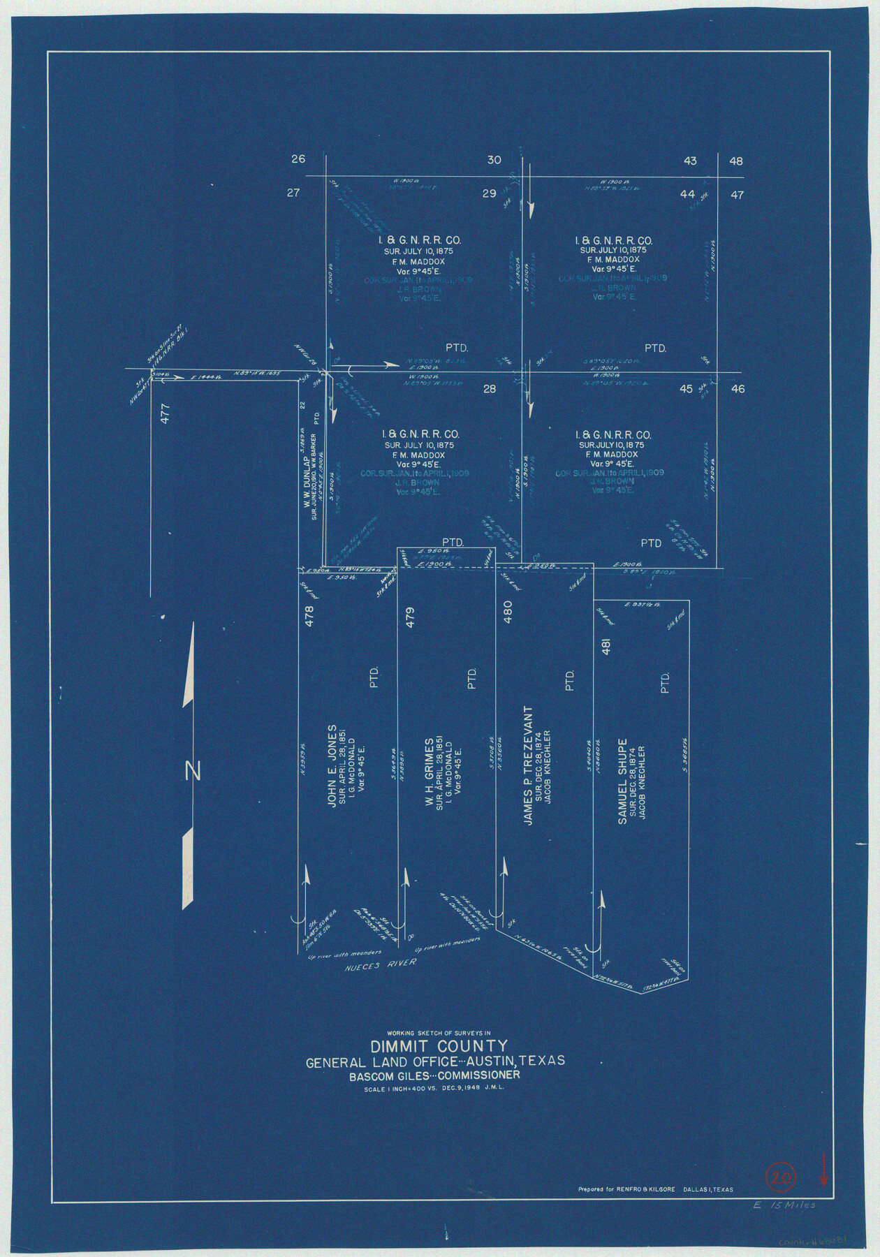
Dimmit County Working Sketch 20
-
Map/Doc
68681
-
Collection
General Map Collection
-
Object Dates
12/9/1948 (Creation Date)
-
Counties
Dimmit
-
Subjects
Surveying Working Sketch
-
Height x Width
30.4 x 21.3 inches
77.2 x 54.1 cm
-
Scale
1" = 400 varas
Part of: General Map Collection
Starr County Rolled Sketch 43

Print $20.00
- Digital $50.00
Starr County Rolled Sketch 43
1982
Size 36.1 x 30.9 inches
Map/Doc 7836
Duval County Boundary File 3b

Print $4.00
- Digital $50.00
Duval County Boundary File 3b
Size 12.9 x 8.2 inches
Map/Doc 52730
Terrell County Rolled Sketch 53A

Print $20.00
- Digital $50.00
Terrell County Rolled Sketch 53A
Size 32.9 x 24.2 inches
Map/Doc 7972
Township 2 South Range 12 West, South Western District, Louisiana

Print $20.00
- Digital $50.00
Township 2 South Range 12 West, South Western District, Louisiana
1884
Size 19.7 x 24.7 inches
Map/Doc 65882
Travis County Sketch File 56

Print $6.00
- Digital $50.00
Travis County Sketch File 56
1945
Size 14.2 x 9.0 inches
Map/Doc 38398

Calhoun County NRC Article 33.136 Sketch 1

Print $42.00
- Digital $50.00
Calhoun County NRC Article 33.136 Sketch 1
2000
Size 16.8 x 21.7 inches
Map/Doc 61556
Hale County Working Sketch 5

Print $20.00
- Digital $50.00
Hale County Working Sketch 5
1980
Size 15.0 x 11.1 inches
Map/Doc 63325
Lampasas County Working Sketch 3

Print $20.00
- Digital $50.00
Lampasas County Working Sketch 3
1941
Size 25.0 x 14.6 inches
Map/Doc 70280
Supreme Court of the United States, October Term, 1924, No. 13, Original - The State of Oklahoma, Complainant vs. The State of Texas, Defendant, The United States, Intervener

Print $20.00
- Digital $50.00
Supreme Court of the United States, October Term, 1924, No. 13, Original - The State of Oklahoma, Complainant vs. The State of Texas, Defendant, The United States, Intervener
1924
Size 16.5 x 33.1 inches
Map/Doc 75113
Flight Mission No. DQO-8K, Frame 9, Galveston County

Print $20.00
- Digital $50.00
Flight Mission No. DQO-8K, Frame 9, Galveston County
1952
Size 18.7 x 22.5 inches
Map/Doc 85132
Jefferson Co.

Print $40.00
- Digital $50.00
Jefferson Co.
1978
Size 48.2 x 42.7 inches
Map/Doc 73196
You may also like
Approaches to Galveston Bay

Print $40.00
- Digital $50.00
Approaches to Galveston Bay
1992
Size 36.6 x 55.6 inches
Map/Doc 69888
Crosby County

Print $20.00
- Digital $50.00
Crosby County
1927
Size 41.1 x 36.7 inches
Map/Doc 73123
Surveys in Greer Co.

Print $20.00
- Digital $50.00
Surveys in Greer Co.
Size 16.6 x 14.4 inches
Map/Doc 557
Liberty County Sketch File 29

Print $40.00
- Digital $50.00
Liberty County Sketch File 29
1888
Size 14.9 x 14.9 inches
Map/Doc 29955
Stonewall County Rolled Sketch 18

Print $20.00
- Digital $50.00
Stonewall County Rolled Sketch 18
1950
Size 27.4 x 29.4 inches
Map/Doc 7872
Sylvan Sanders Survey Section 20, Block A

Print $20.00
- Digital $50.00
Sylvan Sanders Survey Section 20, Block A
1952
Size 37.0 x 25.1 inches
Map/Doc 92722
Upton County Rolled Sketch 54

Print $20.00
- Digital $50.00
Upton County Rolled Sketch 54
Size 23.5 x 35.6 inches
Map/Doc 8089
Childress County Sketch File 17a

Print $96.00
- Digital $50.00
Childress County Sketch File 17a
Size 12.4 x 8.6 inches
Map/Doc 18316
Kerr County Rolled Sketch 24

Print $20.00
- Digital $50.00
Kerr County Rolled Sketch 24
Size 25.1 x 31.4 inches
Map/Doc 6504

Leveland and Adjacent Subdivisions of League 28, Hood County School Land Hockley County, Texas

Print $40.00
- Digital $50.00
Leveland and Adjacent Subdivisions of League 28, Hood County School Land Hockley County, Texas
Size 42.4 x 50.4 inches
Map/Doc 89848
Tarrant County

Print $20.00
- Digital $50.00
Tarrant County
1861
Size 17.0 x 16.4 inches
Map/Doc 4067