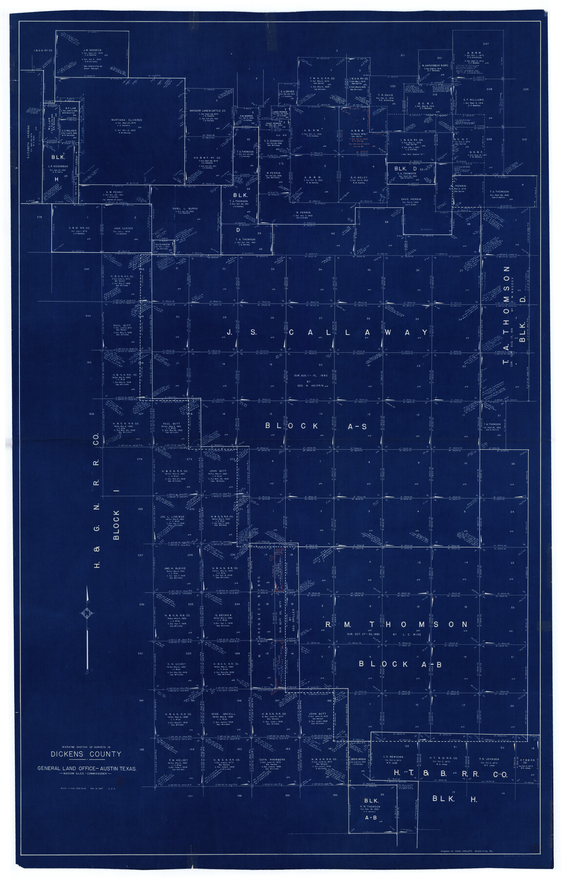
Dickens County Working Sketch 8
-
Map/Doc
68656
-
Collection
General Map Collection
-
Object Dates
2/14/1947 (Creation Date)
-
People and Organizations
Otto G. Kurio (Draftsman)
-
Counties
Dickens
-
Subjects
Surveying Working Sketch
-
Height x Width
68.5 x 43.7 inches
174.0 x 111.0 cm
-
Scale
1" = 500 varas
Part of: General Map Collection
Amistad International Reservoir on Rio Grande 87

Print $20.00
- Digital $50.00
Amistad International Reservoir on Rio Grande 87
1949
Size 28.4 x 40.1 inches
Map/Doc 75516

Flight Mission No. CRE-2R, Frame 158, Jackson County

Print $20.00
- Digital $50.00
Flight Mission No. CRE-2R, Frame 158, Jackson County
1956
Size 16.1 x 16.1 inches
Map/Doc 85369
Montgomery County

Print $20.00
- Digital $50.00
Montgomery County
1901
Size 21.9 x 25.3 inches
Map/Doc 3898

Goliad County Sketch File 5

Print $6.00
- Digital $50.00
Goliad County Sketch File 5
Size 15.9 x 10.2 inches
Map/Doc 24218
Flight Mission No. CGI-3N, Frame 109, Cameron County

Print $20.00
- Digital $50.00
Flight Mission No. CGI-3N, Frame 109, Cameron County
1954
Size 18.5 x 22.1 inches
Map/Doc 84589
Hunt County Rolled Sketch 2

Print $20.00
- Digital $50.00
Hunt County Rolled Sketch 2
Size 31.8 x 29.9 inches
Map/Doc 9240
Pecos County Rolled Sketch 128A

Print $40.00
- Digital $50.00
Pecos County Rolled Sketch 128A
Size 54.5 x 45.0 inches
Map/Doc 10730
Flight Mission No. BQR-4K, Frame 70, Brazoria County

Print $20.00
- Digital $50.00
Flight Mission No. BQR-4K, Frame 70, Brazoria County
1952
Size 18.8 x 22.4 inches
Map/Doc 84003
Flight Mission No. DQO-2K, Frame 96, Galveston County

Print $20.00
- Digital $50.00
Flight Mission No. DQO-2K, Frame 96, Galveston County
1952
Size 18.8 x 22.4 inches
Map/Doc 85023
Flight Mission No. CRC-3R, Frame 56, Chambers County

Print $20.00
- Digital $50.00
Flight Mission No. CRC-3R, Frame 56, Chambers County
1956
Size 18.6 x 22.3 inches
Map/Doc 84828
You may also like
Culberson County Working Sketch 22

Print $20.00
- Digital $50.00
Culberson County Working Sketch 22
1938
Size 23.0 x 18.7 inches
Map/Doc 68474
Plano del Lago de Sn. Bernardo situado en la costa del N. del Seno Mexicano su entrada en la L. N. de 28° 24' y en la Long. de 278° 27' segun el Meridiano de Tenerife

Print $20.00
Plano del Lago de Sn. Bernardo situado en la costa del N. del Seno Mexicano su entrada en la L. N. de 28° 24' y en la Long. de 278° 27' segun el Meridiano de Tenerife
Size 7.9 x 17.3 inches
Map/Doc 93616
Jeff Davis County Rolled Sketch 31

Print $20.00
- Digital $50.00
Jeff Davis County Rolled Sketch 31
1983
Size 40.6 x 44.1 inches
Map/Doc 9268
Hemphill County Rolled Sketch 10

Print $20.00
- Digital $50.00
Hemphill County Rolled Sketch 10
Size 19.4 x 27.6 inches
Map/Doc 6192
Crockett County Working Sketch 48

Print $20.00
- Digital $50.00
Crockett County Working Sketch 48
1938
Size 23.8 x 13.2 inches
Map/Doc 68381
Plat of a survey on Padre Island in Willacy County surveyed for South Padre Development Corporation by Claunch and Associates

Print $40.00
- Digital $50.00
Plat of a survey on Padre Island in Willacy County surveyed for South Padre Development Corporation by Claunch and Associates
1973
Size 73.7 x 42.8 inches
Map/Doc 61426
Map of Callahan County

Print $20.00
- Digital $50.00
Map of Callahan County
1878
Size 23.0 x 18.8 inches
Map/Doc 3361
Pecos County Sketch File 28

Print $20.00
- Digital $50.00
Pecos County Sketch File 28
1927
Size 23.4 x 21.6 inches
Map/Doc 12168
Terrell County Working Sketch 84a

Print $20.00
- Digital $50.00
Terrell County Working Sketch 84a
1992
Size 34.5 x 37.0 inches
Map/Doc 69605
Montgomery County Working Sketch 4

Print $20.00
- Digital $50.00
Montgomery County Working Sketch 4
1926
Size 20.9 x 22.2 inches
Map/Doc 71110
United States - Gulf Coast - From Latitude 26° 33' to the Rio Grande Texas

Print $20.00
- Digital $50.00
United States - Gulf Coast - From Latitude 26° 33' to the Rio Grande Texas
1913
Size 18.3 x 23.6 inches
Map/Doc 72844
[Unknown Connecting Line]
![92040, [Unknown Connecting Line], Twichell Survey Records](https://historictexasmaps.com/wmedia_w700/maps/92040-1.tif.jpg)
Print $20.00
- Digital $50.00
[Unknown Connecting Line]
Size 28.1 x 23.0 inches
Map/Doc 92040