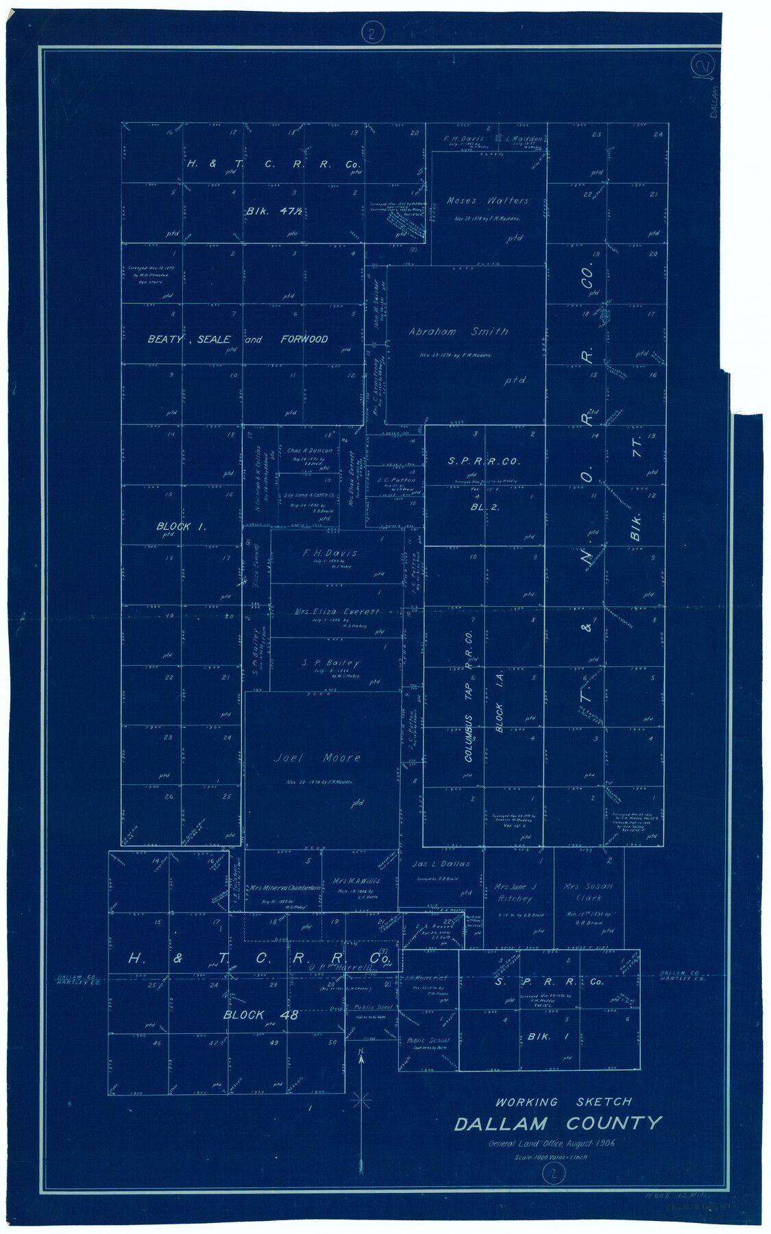
Dallam County Working Sketch 2
-
Map/Doc
68587
-
Collection
General Map Collection
-
Object Dates
8/1906 (Creation Date)
-
Counties
Dallam Hartley
-
Subjects
Surveying Working Sketch
-
Height x Width
38.5 x 24.1 inches
97.8 x 61.2 cm
-
Scale
1" = 1000 varas
Part of: General Map Collection

Controlled Mosaic by Jack Amman Photogrammetric Engineers, Inc - Sheet 20

Print $20.00
- Digital $50.00
Controlled Mosaic by Jack Amman Photogrammetric Engineers, Inc - Sheet 20
1954
Size 19.3 x 24.0 inches
Map/Doc 83469
Galveston County Sketch File 1a

Print $4.00
- Digital $50.00
Galveston County Sketch File 1a
1847
Size 10.2 x 8.9 inches
Map/Doc 23344
Edwards County Rolled Sketch 28

Print $20.00
- Digital $50.00
Edwards County Rolled Sketch 28
1950
Size 18.9 x 27.0 inches
Map/Doc 5814
Flight Mission No. BQR-13K, Frame 25, Brazoria County

Print $20.00
- Digital $50.00
Flight Mission No. BQR-13K, Frame 25, Brazoria County
1952
Size 18.8 x 22.4 inches
Map/Doc 84073
Hudspeth County Working Sketch 22

Print $40.00
- Digital $50.00
Hudspeth County Working Sketch 22
1967
Size 45.8 x 62.8 inches
Map/Doc 66304
Burnet County Working Sketch 17

Print $20.00
- Digital $50.00
Burnet County Working Sketch 17
1979
Size 41.1 x 34.4 inches
Map/Doc 67860
Intracoastal Waterway - Galveston Bay to West Bay including Galveston Bay Entrance

Print $20.00
- Digital $50.00
Intracoastal Waterway - Galveston Bay to West Bay including Galveston Bay Entrance
1962
Size 26.9 x 38.6 inches
Map/Doc 69936
Rusk County Rolled Sketch 6

Print $20.00
- Digital $50.00
Rusk County Rolled Sketch 6
1949
Size 33.7 x 26.6 inches
Map/Doc 7543
Lipscomb County Working Sketch 2

Print $20.00
- Digital $50.00
Lipscomb County Working Sketch 2
1959
Size 33.4 x 36.6 inches
Map/Doc 70578
Armstrong County Boundary File 3

Print $14.00
- Digital $50.00
Armstrong County Boundary File 3
Size 11.3 x 8.8 inches
Map/Doc 50141
Map of Brassos [sic] & Bosque Surveys
![146, Map of Brassos [sic] & Bosque Surveys, General Map Collection](https://historictexasmaps.com/wmedia_w700/maps/146.tif.jpg)
Print $20.00
- Digital $50.00
Map of Brassos [sic] & Bosque Surveys
1841
Size 27.7 x 18.9 inches
Map/Doc 146
You may also like
Outer Continental Shelf Leasing Maps (Louisiana Offshore Operations)

Print $20.00
- Digital $50.00
Outer Continental Shelf Leasing Maps (Louisiana Offshore Operations)
1959
Size 17.9 x 14.0 inches
Map/Doc 76097
Cameron County NRC Article 33.136 Location Key Sheet

Print $20.00
- Digital $50.00
Cameron County NRC Article 33.136 Location Key Sheet
1983
Size 27.0 x 23.0 inches
Map/Doc 89294
Alamo Defenders Heritage Map of Texas

Print $20.00
Alamo Defenders Heritage Map of Texas
2025
Size 36.0 x 24.0 inches
Map/Doc 97433
Jeff Davis County

Print $40.00
- Digital $50.00
Jeff Davis County
1893
Size 26.2 x 48.2 inches
Map/Doc 3719
Terrell County Working Sketch 85

Print $20.00
- Digital $50.00
Terrell County Working Sketch 85
1994
Size 31.3 x 42.8 inches
Map/Doc 69609
University Land in Cooke County

Print $20.00
- Digital $50.00
University Land in Cooke County
1906
Size 23.6 x 30.0 inches
Map/Doc 2425
Archer County Sketch File 8a

Print $8.00
- Digital $50.00
Archer County Sketch File 8a
Size 8.8 x 7.1 inches
Map/Doc 13639
Map of Asylum Lands

Print $20.00
- Digital $50.00
Map of Asylum Lands
1857
Size 22.0 x 29.1 inches
Map/Doc 2214
Wise County Working Sketch 12

Print $20.00
- Digital $50.00
Wise County Working Sketch 12
1958
Size 23.0 x 29.6 inches
Map/Doc 72626

Map of Clear Lake Shores

Print $20.00
- Digital $50.00
Map of Clear Lake Shores
1927
Size 36.9 x 46.2 inches
Map/Doc 4843
Bexar County Boundary File 2

Print $32.00
- Digital $50.00
Bexar County Boundary File 2
Size 8.4 x 4.0 inches
Map/Doc 50518