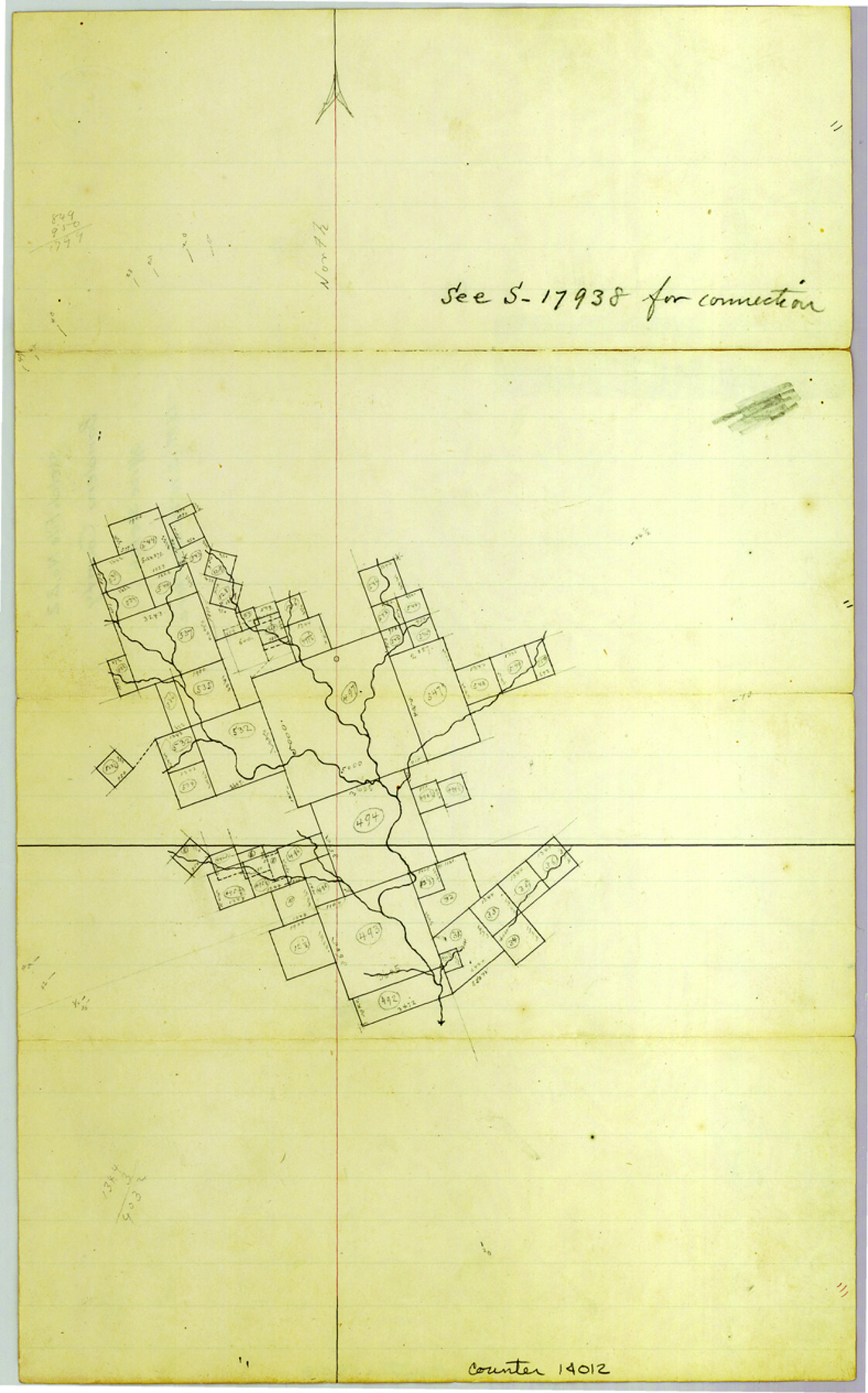
Bandera County Sketch File 22
[Office sketch of surveys in southwest part of Bandera County and Medina County]
-
Map/Doc
14012
-
Collection
General Map Collection
-
Counties
Bandera Medina
-
Subjects
Surveying Sketch File
-
Height x Width
12.6 x 7.9 inches
32.0 x 20.1 cm
-
Medium
paper, manuscript
Part of: General Map Collection
Report of a resurvey of Texas & Pacific Ry. Lands in the 80 mile reservation made in 1930-31 for Kloh, Rumsey, and Abrams by W. J. Powell, Consulting Eng.

Print $77.00
- Digital $50.00
Report of a resurvey of Texas & Pacific Ry. Lands in the 80 mile reservation made in 1930-31 for Kloh, Rumsey, and Abrams by W. J. Powell, Consulting Eng.
1931
Size 11.3 x 8.8 inches
Map/Doc 2247
Angelina County Working Sketch 57

Print $20.00
- Digital $50.00
Angelina County Working Sketch 57
Size 18.0 x 20.3 inches
Map/Doc 78285
[East Line & Red River Railroad from Sulphur Springs to Jefferson]
![64769, [East Line & Red River Railroad from Sulphur Springs to Jefferson], General Map Collection](https://historictexasmaps.com/wmedia_w700/maps/64769.tif.jpg)
Print $20.00
- Digital $50.00
[East Line & Red River Railroad from Sulphur Springs to Jefferson]
1879
Size 37.8 x 33.6 inches
Map/Doc 64769
Wharton County Working Sketch Graphic Index

Print $20.00
- Digital $50.00
Wharton County Working Sketch Graphic Index
1946
Size 41.7 x 47.5 inches
Map/Doc 76737
El Paso County Sketch File 27

Print $20.00
- Digital $50.00
El Paso County Sketch File 27
Size 18.3 x 24.5 inches
Map/Doc 11458
Concho County Working Sketch 24

Print $20.00
- Digital $50.00
Concho County Working Sketch 24
1981
Size 35.0 x 44.2 inches
Map/Doc 68206
Brazoria County Working Sketch 10

Print $20.00
- Digital $50.00
Brazoria County Working Sketch 10
1935
Size 16.2 x 25.2 inches
Map/Doc 67495
Flight Mission No. BQR-14K, Frame 38, Brazoria County

Print $20.00
- Digital $50.00
Flight Mission No. BQR-14K, Frame 38, Brazoria County
1952
Size 18.8 x 22.3 inches
Map/Doc 84095
Baylor County Sketch File 1a

Print $8.00
- Digital $50.00
Baylor County Sketch File 1a
1857
Size 8.2 x 7.9 inches
Map/Doc 14144
Map accompanying report of scout made by 2nd Lt. F. de I. Carrington. 1st Infantry

Print $20.00
- Digital $50.00
Map accompanying report of scout made by 2nd Lt. F. de I. Carrington. 1st Infantry
1881
Size 22.2 x 18.0 inches
Map/Doc 65407
Terry County Working Sketch Graphic Index

Print $20.00
- Digital $50.00
Terry County Working Sketch Graphic Index
1970
Size 41.2 x 33.8 inches
Map/Doc 76712
Terrell County Sketch File 28

Print $20.00
- Digital $50.00
Terrell County Sketch File 28
1939
Size 18.3 x 22.8 inches
Map/Doc 12425
You may also like
Gregg County Sketch File 1E

Print $4.00
- Digital $50.00
Gregg County Sketch File 1E
1849
Size 12.6 x 8.2 inches
Map/Doc 24545
Bee County Boundary File 2

Print $10.00
- Digital $50.00
Bee County Boundary File 2
Size 8.8 x 6.8 inches
Map/Doc 50435
Motley County Rolled Sketch 1

Print $20.00
- Digital $50.00
Motley County Rolled Sketch 1
1989
Size 39.0 x 47.6 inches
Map/Doc 9552
Flight Mission No. BRE-1P, Frame 70, Nueces County

Print $20.00
- Digital $50.00
Flight Mission No. BRE-1P, Frame 70, Nueces County
1956
Size 18.3 x 22.1 inches
Map/Doc 86652
Coryell County Working Sketch 20

Print $20.00
- Digital $50.00
Coryell County Working Sketch 20
1972
Size 32.2 x 22.4 inches
Map/Doc 68227
Controlled Mosaic by Jack Amman Photogrammetric Engineers, Inc - Sheet 47

Print $20.00
- Digital $50.00
Controlled Mosaic by Jack Amman Photogrammetric Engineers, Inc - Sheet 47
1954
Size 20.0 x 24.0 inches
Map/Doc 83506
Nueces County

Print $20.00
- Digital $50.00
Nueces County
1913
Size 26.9 x 35.9 inches
Map/Doc 95602
[Blocks H and C41]
![92623, [Blocks H and C41], Twichell Survey Records](https://historictexasmaps.com/wmedia_w700/maps/92623-1.tif.jpg)
Print $20.00
- Digital $50.00
[Blocks H and C41]
1951
Size 24.6 x 18.8 inches
Map/Doc 92623
Pecos County Sketch File 67

Print $76.00
- Digital $50.00
Pecos County Sketch File 67
1919
Size 14.1 x 8.8 inches
Map/Doc 33828
[Surveys along Davidson's Creek]
![243, [Surveys along Davidson's Creek], General Map Collection](https://historictexasmaps.com/wmedia_w700/maps/243.tif.jpg)
Print $2.00
- Digital $50.00
[Surveys along Davidson's Creek]
Size 5.3 x 4.7 inches
Map/Doc 243
Fannin County, Texas

Print $20.00
- Digital $50.00
Fannin County, Texas
1870
Size 22.7 x 18.8 inches
Map/Doc 725
Travis County Appraisal District Plat Map 2_2915

Print $20.00
- Digital $50.00
Travis County Appraisal District Plat Map 2_2915
Size 21.5 x 26.4 inches
Map/Doc 94219