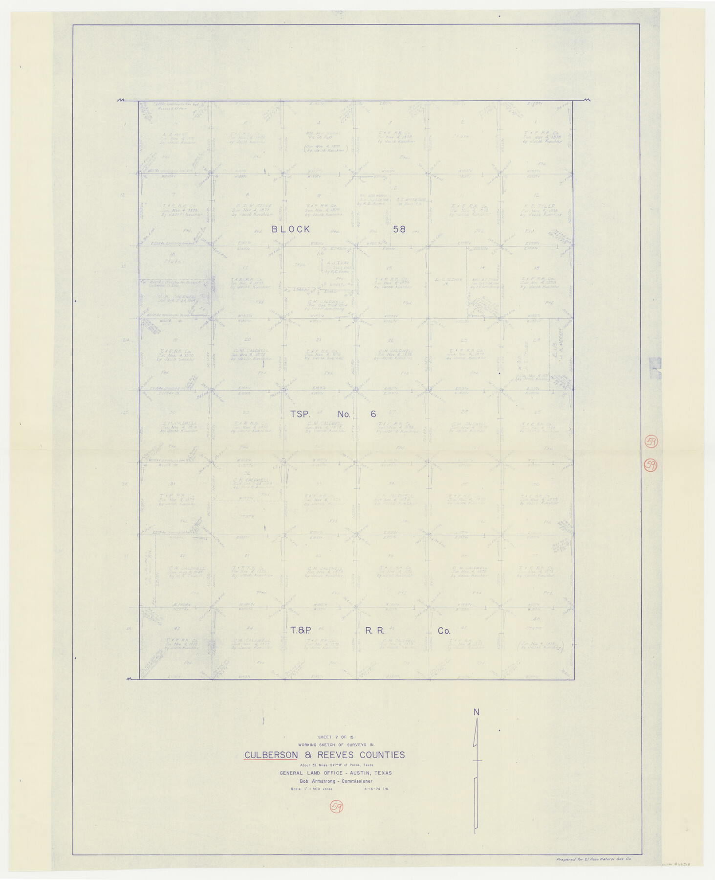
Culberson County Working Sketch 59
-
Map/Doc
68513
-
Collection
General Map Collection
-
Object Dates
4/16/1974 (Creation Date)
-
Counties
Culberson Reeves
-
Subjects
Surveying Working Sketch
-
Height x Width
46.4 x 37.7 inches
117.9 x 95.8 cm
-
Scale
1" = 500 varas
Part of: General Map Collection
Gregg County Working Sketch 15

Print $20.00
- Digital $50.00
Gregg County Working Sketch 15
1941
Size 24.8 x 29.5 inches
Map/Doc 63282
Lipscomb County Boundary File 12

Print $4.00
- Digital $50.00
Lipscomb County Boundary File 12
Size 10.6 x 8.1 inches
Map/Doc 56351
Flight Mission No. DCL-6C, Frame 16, Kenedy County

Print $20.00
- Digital $50.00
Flight Mission No. DCL-6C, Frame 16, Kenedy County
1943
Size 18.7 x 22.3 inches
Map/Doc 85873
Prison Property, Walker County

Print $20.00
- Digital $50.00
Prison Property, Walker County
Size 32.6 x 22.7 inches
Map/Doc 94279
Hudspeth County Rolled Sketch 32

Print $40.00
- Digital $50.00
Hudspeth County Rolled Sketch 32
Size 32.7 x 94.9 inches
Map/Doc 9211
Jasper County Working Sketch 16

Print $20.00
- Digital $50.00
Jasper County Working Sketch 16
1928
Size 13.7 x 14.3 inches
Map/Doc 66478
Kimble County Working Sketch 96

Print $20.00
- Digital $50.00
Kimble County Working Sketch 96
1921
Size 20.9 x 26.8 inches
Map/Doc 70164

[Surveys in Austin's Colony along Hickory Creek, Hog Creek, and the Yegua River]
![195, [Surveys in Austin's Colony along Hickory Creek, Hog Creek, and the Yegua River], General Map Collection](https://historictexasmaps.com/wmedia_w700/maps/195.tif.jpg)
Print $20.00
- Digital $50.00
[Surveys in Austin's Colony along Hickory Creek, Hog Creek, and the Yegua River]
1831
Size 19.4 x 23.9 inches
Map/Doc 195
Donley County Working Sketch 5

Print $40.00
- Digital $50.00
Donley County Working Sketch 5
Size 54.3 x 32.9 inches
Map/Doc 68738
Tyler County Boundary File 1

Print $2.00
- Digital $50.00
Tyler County Boundary File 1
Size 14.2 x 8.8 inches
Map/Doc 59494
Map of Texas and New Orleans R.R. or Sabine and Galveston Bay Rail Road

Print $40.00
- Digital $50.00
Map of Texas and New Orleans R.R. or Sabine and Galveston Bay Rail Road
1859
Size 17.0 x 59.1 inches
Map/Doc 64091
You may also like
Right-of-Way & Track Map, Houston and Brazos Valley Ry. Co. operated by the Houston and Brazos Valley Ry. Co.

Print $40.00
- Digital $50.00
Right-of-Way & Track Map, Houston and Brazos Valley Ry. Co. operated by the Houston and Brazos Valley Ry. Co.
1918
Size 24.7 x 56.7 inches
Map/Doc 64604
Morris County Rolled Sketch 2A

Print $20.00
- Digital $50.00
Morris County Rolled Sketch 2A
Size 24.3 x 19.2 inches
Map/Doc 10264
Ward County Working Sketch 25

Print $40.00
- Digital $50.00
Ward County Working Sketch 25
1957
Size 74.3 x 25.6 inches
Map/Doc 72331
Flight Mission No. DQN-2K, Frame 191, Calhoun County

Print $20.00
- Digital $50.00
Flight Mission No. DQN-2K, Frame 191, Calhoun County
1953
Size 18.8 x 22.4 inches
Map/Doc 84332
Sketch of Surveys in Crosby and Garza Cos.

Print $20.00
- Digital $50.00
Sketch of Surveys in Crosby and Garza Cos.
Size 19.7 x 25.3 inches
Map/Doc 90338
[R. M. Thompson Block T2 and John H. Stephens Block S2 Conflict]
![91056, [R. M. Thompson Block T2 and John H. Stephens Block S2 Conflict], Twichell Survey Records](https://historictexasmaps.com/wmedia_w700/maps/91056-1.tif.jpg)
Print $20.00
- Digital $50.00
[R. M. Thompson Block T2 and John H. Stephens Block S2 Conflict]
Size 20.9 x 30.6 inches
Map/Doc 91056
Lipscomb County Boundary File 7

Print $4.00
- Digital $50.00
Lipscomb County Boundary File 7
Size 6.6 x 8.1 inches
Map/Doc 56331
Treaty to Resolve Pending Boundary Differences and Maintain the Rio Grande and Colorado River as the International Boundary Between the United States of American and Mexico

Print $20.00
- Digital $50.00
Treaty to Resolve Pending Boundary Differences and Maintain the Rio Grande and Colorado River as the International Boundary Between the United States of American and Mexico
1970
Size 11.1 x 35.3 inches
Map/Doc 83107
Flight Mission No. DQN-3K, Frame 35, Calhoun County

Print $20.00
- Digital $50.00
Flight Mission No. DQN-3K, Frame 35, Calhoun County
1953
Size 16.4 x 16.2 inches
Map/Doc 84348
W. L. Ellwood's O Ranch, Lubbock and Hockley Co.

Print $20.00
- Digital $50.00
W. L. Ellwood's O Ranch, Lubbock and Hockley Co.
Size 15.5 x 23.8 inches
Map/Doc 92762
Dimmit County Sketch File 61

Print $12.00
- Digital $50.00
Dimmit County Sketch File 61
1999
Size 11.4 x 8.8 inches
Map/Doc 21208
Hemphill County Working Sketch 32

Print $20.00
- Digital $50.00
Hemphill County Working Sketch 32
1976
Size 45.8 x 34.2 inches
Map/Doc 66127