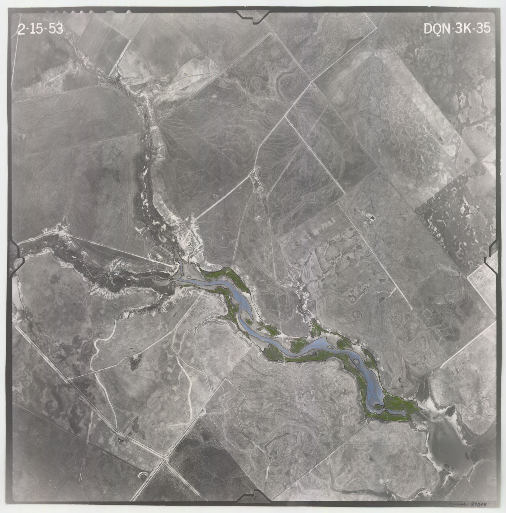
Flight Mission No. DQN-3K, Frame 35, Calhoun County
DQN-3K-35
-
Map/Doc
84348
-
Collection
General Map Collection
-
Object Dates
1953/2/15 (Creation Date)
-
People and Organizations
U. S. Department of Agriculture (Publisher)
-
Counties
Calhoun
-
Subjects
Aerial Photograph
-
Height x Width
16.4 x 16.2 inches
41.7 x 41.1 cm
-
Comments
Flown by Aero Exploration Company of Tulsa, Oklahoma.
Part of: General Map Collection
Flight Mission No. DQN-5K, Frame 33, Calhoun County

Print $20.00
- Digital $50.00
Flight Mission No. DQN-5K, Frame 33, Calhoun County
1953
Size 18.5 x 22.3 inches
Map/Doc 84384
Fractional Township No. 10 South Range No. 9 East of the Indian Meridian, Indian Territory

Print $20.00
- Digital $50.00
Fractional Township No. 10 South Range No. 9 East of the Indian Meridian, Indian Territory
1898
Size 19.3 x 24.4 inches
Map/Doc 75217
Flight Mission No. DQO-2K, Frame 141, Galveston County

Print $20.00
- Digital $50.00
Flight Mission No. DQO-2K, Frame 141, Galveston County
1952
Size 18.9 x 22.5 inches
Map/Doc 85038
Eastland County Working Sketch 8

Print $20.00
- Digital $50.00
Eastland County Working Sketch 8
1919
Size 13.5 x 11.1 inches
Map/Doc 68789
Panola County Sketch File 17

Print $20.00
- Digital $50.00
Panola County Sketch File 17
Size 15.2 x 17.7 inches
Map/Doc 12137
Maverick County Working Sketch 15

Print $20.00
- Digital $50.00
Maverick County Working Sketch 15
1970
Size 34.6 x 24.7 inches
Map/Doc 70907
Ector County Working Sketch 32

Print $20.00
- Digital $50.00
Ector County Working Sketch 32
1981
Size 26.2 x 17.0 inches
Map/Doc 68875
Brewster County Rolled Sketch RSH

Print $20.00
- Digital $50.00
Brewster County Rolled Sketch RSH
Size 31.9 x 28.3 inches
Map/Doc 5324
Flight Mission No. BRE-2P, Frame 133, Nueces County

Print $20.00
- Digital $50.00
Flight Mission No. BRE-2P, Frame 133, Nueces County
1956
Size 18.5 x 22.5 inches
Map/Doc 86806
Starr County Rolled Sketch 30

Print $20.00
- Digital $50.00
Starr County Rolled Sketch 30
1941
Size 14.9 x 21.5 inches
Map/Doc 7813
Wilson County Working Sketch 3

Print $20.00
- Digital $50.00
Wilson County Working Sketch 3
1952
Size 33.6 x 33.2 inches
Map/Doc 72583

You may also like
Guide map of the Great Texas Cattle Trail from Red River crossing to the Old Reliable Kansas Pacific Railway

Print $20.00
- Digital $50.00
Guide map of the Great Texas Cattle Trail from Red River crossing to the Old Reliable Kansas Pacific Railway
1873
Size 23.4 x 17.6 inches
Map/Doc 93938
Panola County Sketch File 2

Print $4.00
- Digital $50.00
Panola County Sketch File 2
1851
Size 10.8 x 8.2 inches
Map/Doc 33447
Garza County Sketch File 6

Print $8.00
- Digital $50.00
Garza County Sketch File 6
1900
Size 14.2 x 8.7 inches
Map/Doc 24056
Mills County Working Sketch 28

Print $40.00
- Digital $50.00
Mills County Working Sketch 28
2006
Size 42.0 x 67.4 inches
Map/Doc 85385
Winkler County

Print $20.00
- Digital $50.00
Winkler County
1890
Size 22.8 x 18.5 inches
Map/Doc 4160
Brooks County Rolled Sketch 27

Print $20.00
- Digital $50.00
Brooks County Rolled Sketch 27
1945
Size 44.5 x 42.9 inches
Map/Doc 8540
Edwards County Rolled Sketch 17

Print $20.00
- Digital $50.00
Edwards County Rolled Sketch 17
1945
Size 27.6 x 19.4 inches
Map/Doc 5806
Bell County, Milam District

Print $20.00
- Digital $50.00
Bell County, Milam District
1877
Size 23.5 x 28.6 inches
Map/Doc 3293
Flight Mission No. DQN-3K, Frame 11, Calhoun County

Print $20.00
- Digital $50.00
Flight Mission No. DQN-3K, Frame 11, Calhoun County
1953
Size 18.6 x 22.2 inches
Map/Doc 84343
Bandera County Boundary File 7

Print $14.00
- Digital $50.00
Bandera County Boundary File 7
Size 12.7 x 8.1 inches
Map/Doc 50306
Bailey County

Print $20.00
- Digital $50.00
Bailey County
1956
Size 47.0 x 30.0 inches
Map/Doc 77206
Bexar County Sketch File 25

Print $4.00
- Digital $50.00
Bexar County Sketch File 25
1860
Size 8.9 x 8.7 inches
Map/Doc 14486