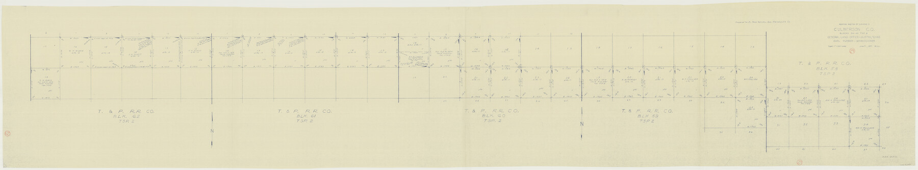
Culberson County Working Sketch 29
-
Map/Doc
68482
-
Collection
General Map Collection
-
Object Dates
6/5/1957 (Creation Date)
-
People and Organizations
M. L. Liles (Draftsman)
-
Counties
Culberson
-
Subjects
Surveying Working Sketch
-
Height x Width
21.8 x 117.6 inches
55.4 x 298.7 cm
-
Scale
1" = 500 varas
Part of: General Map Collection
Liberty County Sketch File 59

Print $6.00
- Digital $50.00
Liberty County Sketch File 59
1943
Size 14.2 x 8.8 inches
Map/Doc 30068
Camp County Working Sketch 3

Print $20.00
- Digital $50.00
Camp County Working Sketch 3
1982
Size 32.1 x 24.4 inches
Map/Doc 67879
Mitchell County

Print $20.00
- Digital $50.00
Mitchell County
1889
Size 44.3 x 37.8 inches
Map/Doc 66935
Scarborough's Map of the New England States Vermont, New Hampshire, Maine, Massachusetts, Rhode Island and Connecticut

Print $40.00
- Digital $50.00
Scarborough's Map of the New England States Vermont, New Hampshire, Maine, Massachusetts, Rhode Island and Connecticut
1910
Size 58.3 x 40.1 inches
Map/Doc 97106
Jeff Davis County Sketch File 42

Print $20.00
- Digital $50.00
Jeff Davis County Sketch File 42
Size 21.8 x 27.9 inches
Map/Doc 11867
Shackelford County Working Sketch 10

Print $20.00
- Digital $50.00
Shackelford County Working Sketch 10
1984
Size 28.8 x 26.1 inches
Map/Doc 63850
Lubbock County Boundary File 1

Print $64.00
- Digital $50.00
Lubbock County Boundary File 1
Size 8.8 x 8.6 inches
Map/Doc 56455
Duval County Sketch File 25

Print $8.00
- Digital $50.00
Duval County Sketch File 25
Size 11.4 x 9.1 inches
Map/Doc 21328
Newton County Working Sketch 19

Print $20.00
- Digital $50.00
Newton County Working Sketch 19
1951
Size 28.7 x 23.4 inches
Map/Doc 71265
Val Verde County Working Sketch 78

Print $40.00
- Digital $50.00
Val Verde County Working Sketch 78
1972
Size 45.3 x 62.1 inches
Map/Doc 72213
Amistad International Reservoir on Rio Grande 104

Print $20.00
- Digital $50.00
Amistad International Reservoir on Rio Grande 104
1950
Size 28.5 x 40.9 inches
Map/Doc 75535
Cochran County Working Sketch 5

Print $20.00
- Digital $50.00
Cochran County Working Sketch 5
Size 23.8 x 24.9 inches
Map/Doc 68016
You may also like
Childress County Rolled Sketch 8A

Print $20.00
- Digital $50.00
Childress County Rolled Sketch 8A
Size 18.2 x 12.9 inches
Map/Doc 5443
Hamilton County Sketch File 13

Print $40.00
- Digital $50.00
Hamilton County Sketch File 13
1876
Size 12.0 x 16.7 inches
Map/Doc 24935
Young County Boundary File 1

Print $8.00
- Digital $50.00
Young County Boundary File 1
Size 10.3 x 8.2 inches
Map/Doc 60198
Flight Mission No. BQR-5K, Frame 69, Brazoria County

Print $20.00
- Digital $50.00
Flight Mission No. BQR-5K, Frame 69, Brazoria County
1952
Size 18.8 x 22.4 inches
Map/Doc 84014
Angelina County Sketch File 15g

Print $4.00
- Digital $50.00
Angelina County Sketch File 15g
1882
Size 10.9 x 8.4 inches
Map/Doc 12996
Milam County Sketch File 1

Print $4.00
- Digital $50.00
Milam County Sketch File 1
1848
Size 10.7 x 7.8 inches
Map/Doc 31624
Harbor Pass and Bar at Brazos Santiago, Texas

Print $20.00
- Digital $50.00
Harbor Pass and Bar at Brazos Santiago, Texas
1871
Size 18.2 x 27.0 inches
Map/Doc 73037
Crockett County Rolled Sketch 29

Print $20.00
- Digital $50.00
Crockett County Rolled Sketch 29
1927
Size 21.9 x 36.6 inches
Map/Doc 5588
Lampasas County Sketch File 16 1/2

Print $4.00
- Digital $50.00
Lampasas County Sketch File 16 1/2
Size 8.4 x 8.6 inches
Map/Doc 29428
Health Wealth and Happiness in the Texas Panhandle

Health Wealth and Happiness in the Texas Panhandle
1906
Map/Doc 96753
Flight Mission No. BRA-7M, Frame 13, Jefferson County

Print $20.00
- Digital $50.00
Flight Mission No. BRA-7M, Frame 13, Jefferson County
1953
Size 18.6 x 22.4 inches
Map/Doc 85464
Brazoria County Sketch File 15

Print $4.00
- Digital $50.00
Brazoria County Sketch File 15
1892
Size 12.8 x 8.4 inches
Map/Doc 14977