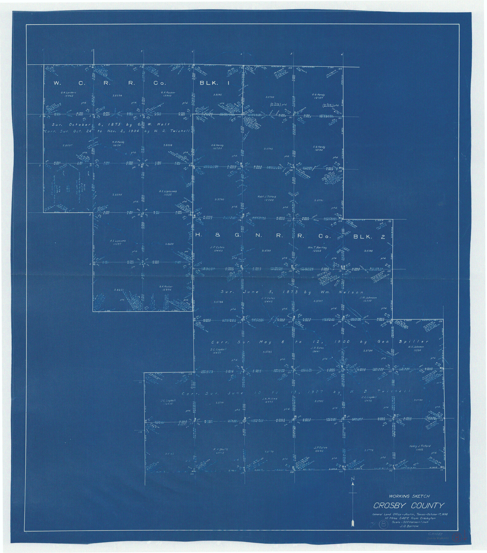
Crosby County Working Sketch 8
-
Map/Doc
68442
-
Collection
General Map Collection
-
Object Dates
10/17/1938 (Creation Date)
-
People and Organizations
J.O. Barrow (Draftsman)
-
Counties
Crosby
-
Subjects
Surveying Working Sketch
-
Height x Width
42.3 x 37.2 inches
107.4 x 94.5 cm
-
Scale
1" = 500 varas
Part of: General Map Collection
Grayson County, Fannin District

Print $20.00
- Digital $50.00
Grayson County, Fannin District
1885
Size 39.6 x 35.1 inches
Map/Doc 81942
Orange County Working Sketch 31

Print $20.00
- Digital $50.00
Orange County Working Sketch 31
1955
Size 24.2 x 13.8 inches
Map/Doc 71363
Jefferson County Sketch File 49

Print $40.00
- Digital $50.00
Jefferson County Sketch File 49
1955
Size 51.1 x 29.0 inches
Map/Doc 10508
Coke County Rolled Sketch 14

Print $20.00
- Digital $50.00
Coke County Rolled Sketch 14
Size 26.8 x 18.9 inches
Map/Doc 5514
Reeves County Working Sketch 17

Print $20.00
- Digital $50.00
Reeves County Working Sketch 17
1961
Size 30.2 x 30.9 inches
Map/Doc 63460
Brazoria County Rolled Sketch 49

Print $20.00
- Digital $50.00
Brazoria County Rolled Sketch 49
1948
Size 23.8 x 36.1 inches
Map/Doc 5182
Rains County Rolled Sketch 3

Print $40.00
- Digital $50.00
Rains County Rolled Sketch 3
1992
Size 56.2 x 38.4 inches
Map/Doc 8353
Brazoria County NRC Article 33.136 Sketch 5

Print $22.00
- Digital $50.00
Brazoria County NRC Article 33.136 Sketch 5
2003
Size 24.2 x 35.4 inches
Map/Doc 80124
Flight Mission No. BQR-13K, Frame 22, Brazoria County

Print $20.00
- Digital $50.00
Flight Mission No. BQR-13K, Frame 22, Brazoria County
1952
Size 18.9 x 22.4 inches
Map/Doc 84070
Duval County Sketch File 28

Print $20.00
- Digital $50.00
Duval County Sketch File 28
1932
Size 26.2 x 24.8 inches
Map/Doc 11387
Zavalla County

Print $20.00
- Digital $50.00
Zavalla County
1879
Size 21.2 x 25.4 inches
Map/Doc 4183
Matagorda County Working Sketch 12

Print $20.00
- Digital $50.00
Matagorda County Working Sketch 12
1904
Size 30.8 x 35.1 inches
Map/Doc 70870
You may also like
[Part of Block K11, Leagues 346, 357 1/2, 367]
![90530, [Part of Block K11, Leagues 346, 357 1/2, 367], Twichell Survey Records](https://historictexasmaps.com/wmedia_w700/maps/90530-1.tif.jpg)
Print $2.00
- Digital $50.00
[Part of Block K11, Leagues 346, 357 1/2, 367]
Size 7.3 x 11.6 inches
Map/Doc 90530
Dawson County Working Sketch 15

Print $20.00
- Digital $50.00
Dawson County Working Sketch 15
1955
Size 28.2 x 24.8 inches
Map/Doc 68559
Colorado River, Bull Creek Sheet[/Champion 125 Acre Tract]
![65323, Colorado River, Bull Creek Sheet[/Champion 125 Acre Tract], General Map Collection](https://historictexasmaps.com/wmedia_w700/maps/65323.tif.jpg)
Print $6.00
- Digital $50.00
Colorado River, Bull Creek Sheet[/Champion 125 Acre Tract]
1934
Size 19.3 x 32.0 inches
Map/Doc 65323
Fisher County Working Sketch 13

Print $20.00
- Digital $50.00
Fisher County Working Sketch 13
1956
Size 29.8 x 32.7 inches
Map/Doc 69147
Moore County Rolled Sketch 15

Print $20.00
- Digital $50.00
Moore County Rolled Sketch 15
1981
Size 21.9 x 27.8 inches
Map/Doc 6832
Blanco County Sketch File 49

Print $12.00
- Digital $50.00
Blanco County Sketch File 49
Size 14.3 x 8.8 inches
Map/Doc 14691
Franklin County Boundary File 1

Print $8.00
- Digital $50.00
Franklin County Boundary File 1
Size 12.9 x 8.1 inches
Map/Doc 53569
Map of the State of Texas [East Part]
![81920, Map of the State of Texas [East Part], General Map Collection](https://historictexasmaps.com/wmedia_w700/maps/81920.tif.jpg)
Print $40.00
- Digital $50.00
Map of the State of Texas [East Part]
1938
Size 67.8 x 37.3 inches
Map/Doc 81920
Freestone County Sketch File 6

Print $4.00
- Digital $50.00
Freestone County Sketch File 6
1858
Size 10.3 x 8.8 inches
Map/Doc 23050
Flight Mission No. CGI-3N, Frame 75, Cameron County

Print $20.00
- Digital $50.00
Flight Mission No. CGI-3N, Frame 75, Cameron County
1954
Size 18.6 x 22.2 inches
Map/Doc 84569
Crane County Working Sketch 17

Print $40.00
- Digital $50.00
Crane County Working Sketch 17
1957
Size 121.8 x 50.0 inches
Map/Doc 68294
Ochiltree County Boundary File 4

Print $4.00
- Digital $50.00
Ochiltree County Boundary File 4
Size 11.1 x 8.7 inches
Map/Doc 57682