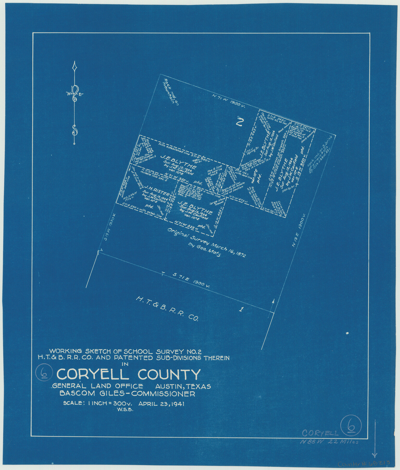
Coryell County Working Sketch 6
-
Map/Doc
68213
-
Collection
General Map Collection
-
Object Dates
4/23/1941 (Creation Date)
-
People and Organizations
W. S. Brewington (Draftsman)
-
Counties
Coryell
-
Subjects
Surveying Working Sketch
-
Height x Width
15.9 x 13.6 inches
40.4 x 34.5 cm
-
Scale
1" = 300 varas
Part of: General Map Collection
Cooke County Sketch File 41

Print $36.00
- Digital $50.00
Cooke County Sketch File 41
1928
Size 11.3 x 8.9 inches
Map/Doc 19308
Johnson County Working Sketch 32

Print $20.00
- Digital $50.00
Johnson County Working Sketch 32
2008
Size 29.2 x 27.4 inches
Map/Doc 88817
Martin County Rolled Sketch 7

Print $20.00
- Digital $50.00
Martin County Rolled Sketch 7
1929
Size 23.0 x 31.2 inches
Map/Doc 6667
Fort Bend County Rolled Sketch 1

Print $20.00
- Digital $50.00
Fort Bend County Rolled Sketch 1
Size 24.3 x 27.5 inches
Map/Doc 5891
Presidio County Sketch File 33

Print $16.00
- Digital $50.00
Presidio County Sketch File 33
1890
Size 14.5 x 8.8 inches
Map/Doc 34476
Nueces County Rolled Sketch 103

Print $105.00
Nueces County Rolled Sketch 103
1985
Size 36.5 x 24.1 inches
Map/Doc 7078
Hopkins County Sketch File 5

Print $4.00
- Digital $50.00
Hopkins County Sketch File 5
Size 10.3 x 8.2 inches
Map/Doc 26687
Houston County Sketch File 35

Print $8.00
- Digital $50.00
Houston County Sketch File 35
1840
Size 11.2 x 9.0 inches
Map/Doc 26813
Bandera County Rolled Sketch 7

Print $20.00
- Digital $50.00
Bandera County Rolled Sketch 7
Size 42.7 x 29.0 inches
Map/Doc 5118
Shackelford County Working Sketch 6

Print $20.00
- Digital $50.00
Shackelford County Working Sketch 6
1963
Size 26.1 x 28.9 inches
Map/Doc 63846
Newton County Working Sketch 30

Print $20.00
- Digital $50.00
Newton County Working Sketch 30
1955
Size 18.2 x 17.8 inches
Map/Doc 71276
McMullen County Sketch File 8

Print $4.00
- Digital $50.00
McMullen County Sketch File 8
1876
Size 8.6 x 8.8 inches
Map/Doc 31349
You may also like
San Patricio County Rolled Sketch 44

Print $55.00
- Digital $50.00
San Patricio County Rolled Sketch 44
1934
Size 9.8 x 14.9 inches
Map/Doc 48933
Flight Mission No. BQR-22K, Frame 42, Brazoria County

Print $20.00
- Digital $50.00
Flight Mission No. BQR-22K, Frame 42, Brazoria County
1953
Size 18.9 x 22.7 inches
Map/Doc 84126
Sketch of the Designation of Route of the Aransas Channel Harbor & Dock Company's Deep Water Channel

Print $3.00
- Digital $50.00
Sketch of the Designation of Route of the Aransas Channel Harbor & Dock Company's Deep Water Channel
Size 13.2 x 10.0 inches
Map/Doc 4495
Map of King County

Print $20.00
- Digital $50.00
Map of King County
1903
Size 45.4 x 42.9 inches
Map/Doc 66892
Webb County Working Sketch Graphic Index - northwest part

Print $40.00
- Digital $50.00
Webb County Working Sketch Graphic Index - northwest part
1984
Size 42.1 x 51.6 inches
Map/Doc 76736
Trinity River, Reagor Springs Sheet/Waxahachie Creek

Print $4.00
- Digital $50.00
Trinity River, Reagor Springs Sheet/Waxahachie Creek
1931
Size 29.9 x 25.6 inches
Map/Doc 65236
Yoakum County Rolled Sketch 3(2)

Print $40.00
- Digital $50.00
Yoakum County Rolled Sketch 3(2)
1959
Size 12.7 x 128.8 inches
Map/Doc 10163
Pecos County Working Sketch 93

Print $40.00
- Digital $50.00
Pecos County Working Sketch 93
1966
Size 32.1 x 71.5 inches
Map/Doc 71566
Nueces County Rolled Sketch 90

Print $129.00
Nueces County Rolled Sketch 90
1983
Size 24.8 x 37.1 inches
Map/Doc 7008
Jefferson County Sketch File 41

Print $58.00
- Digital $50.00
Jefferson County Sketch File 41
1957
Size 14.2 x 8.7 inches
Map/Doc 28236
DeWitt County Boundary File 2a

Print $2.00
- Digital $50.00
DeWitt County Boundary File 2a
Size 10.7 x 8.1 inches
Map/Doc 52513
The Republic County of Bowie. January 16, 1843

Print $20.00
The Republic County of Bowie. January 16, 1843
2020
Size 19.5 x 21.7 inches
Map/Doc 96106