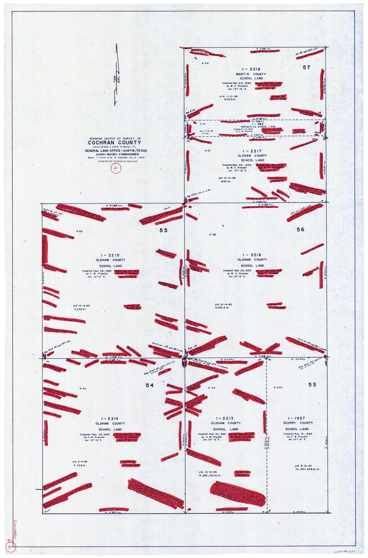
Cochran County Working Sketch 4
-
Map/Doc
68015
-
Collection
General Map Collection
-
Object Dates
11/2/1984 (Creation Date)
-
People and Organizations
Earl Alexander (Draftsman)
-
Counties
Cochran
-
Subjects
Surveying Working Sketch
-
Height x Width
37.7 x 24.8 inches
95.8 x 63.0 cm
-
Scale
1" = 500 varas
Part of: General Map Collection
Angelina County

Print $40.00
- Digital $50.00
Angelina County
1945
Size 38.9 x 49.3 inches
Map/Doc 77200
Flight Mission No. BQR-5K, Frame 64, Brazoria County

Print $20.00
- Digital $50.00
Flight Mission No. BQR-5K, Frame 64, Brazoria County
1952
Size 18.8 x 22.5 inches
Map/Doc 84009
New Map of Texas prepared and published for the Bureau of Immigration of the State of Texas

Print $20.00
- Digital $50.00
New Map of Texas prepared and published for the Bureau of Immigration of the State of Texas
1875
Size 15.8 x 18.3 inches
Map/Doc 93625
Liberty County Working Sketch 36

Print $20.00
- Digital $50.00
Liberty County Working Sketch 36
1948
Size 24.3 x 25.0 inches
Map/Doc 70495
Pecos County Working Sketch 100

Print $20.00
- Digital $50.00
Pecos County Working Sketch 100
1970
Size 42.9 x 31.6 inches
Map/Doc 71573
Ector County Rolled Sketch 11

Print $20.00
- Digital $50.00
Ector County Rolled Sketch 11
1947
Size 47.5 x 38.8 inches
Map/Doc 8839
Gaines County Working Sketch 18

Print $20.00
- Digital $50.00
Gaines County Working Sketch 18
1970
Size 25.4 x 44.5 inches
Map/Doc 69318
Nueces County Rolled Sketch 46

Print $45.00
- Digital $50.00
Nueces County Rolled Sketch 46
Size 10.2 x 15.1 inches
Map/Doc 47859
North Part Brewster Co.

Print $40.00
- Digital $50.00
North Part Brewster Co.
1914
Size 40.1 x 48.6 inches
Map/Doc 66731
Zapata County Working Sketch 12

Print $20.00
- Digital $50.00
Zapata County Working Sketch 12
1960
Size 30.8 x 24.4 inches
Map/Doc 62063
Dawson County Boundary File 1

Print $48.00
- Digital $50.00
Dawson County Boundary File 1
Size 8.8 x 4.0 inches
Map/Doc 52314
Amistad International Reservoir on Rio Grande 89a

Print $20.00
- Digital $50.00
Amistad International Reservoir on Rio Grande 89a
1949
Size 28.6 x 40.1 inches
Map/Doc 75518
You may also like
Jack County Sketch File 35

Print $20.00
- Digital $50.00
Jack County Sketch File 35
1958
Size 23.9 x 35.6 inches
Map/Doc 11833
San Jacinto County Sketch File 22

Print $136.00
San Jacinto County Sketch File 22
1935
Size 11.3 x 8.7 inches
Map/Doc 35734
Hale County Sketch File B

Print $20.00
- Digital $50.00
Hale County Sketch File B
1897
Size 17.3 x 23.9 inches
Map/Doc 11599
Newton County Sketch File 7

Print $4.00
- Digital $50.00
Newton County Sketch File 7
1872
Size 6.1 x 8.3 inches
Map/Doc 32374
Uvalde County Rolled Sketch 19

Print $20.00
- Digital $50.00
Uvalde County Rolled Sketch 19
Size 21.9 x 20.2 inches
Map/Doc 8103
United States Population Distribution by County and Territory, per the U.S. Census of 1880

United States Population Distribution by County and Territory, per the U.S. Census of 1880
2024
Size 8.5 x 11.0 inches
Map/Doc 97284
Presidio County Rolled Sketch 59

Print $20.00
- Digital $50.00
Presidio County Rolled Sketch 59
Size 27.6 x 18.2 inches
Map/Doc 7352
Hutchinson County Rolled Sketch 4

Print $20.00
- Digital $50.00
Hutchinson County Rolled Sketch 4
Size 21.3 x 30.1 inches
Map/Doc 6277
Travis County Sketch File 20

Print $4.00
- Digital $50.00
Travis County Sketch File 20
Size 11.0 x 8.8 inches
Map/Doc 38323
McLennan County Boundary File 5

Print $64.00
- Digital $50.00
McLennan County Boundary File 5
Size 11.2 x 8.7 inches
Map/Doc 56983
[Town Plat of Galveston]
![76258, [Town Plat of Galveston], Texas State Library and Archives](https://historictexasmaps.com/wmedia_w700/maps/76258.tif.jpg)
Print $20.00
[Town Plat of Galveston]
1877
Size 9.1 x 14.5 inches
Map/Doc 76258
Central Plains 'Holiness' College Grounds

Print $20.00
- Digital $50.00
Central Plains 'Holiness' College Grounds
1906
Size 17.2 x 30.8 inches
Map/Doc 92124