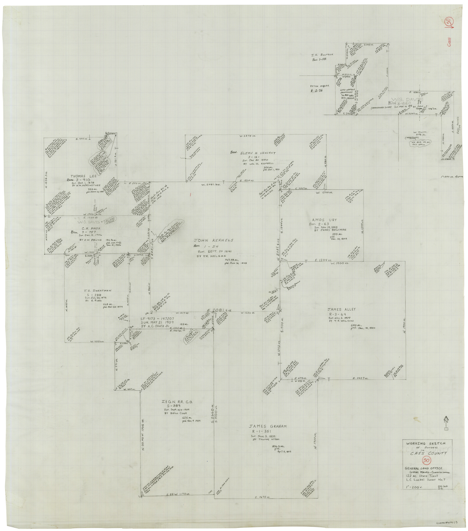
Cass County Working Sketch 50
-
Map/Doc
67953
-
Collection
General Map Collection
-
People and Organizations
Smith, Dale (Draftsman)
-
Counties
Cass
-
Subjects
Surveying Working Sketch
-
Height x Width
42.6 x 37.7 inches
108.2 x 95.8 cm
-
Scale
1" = 200 varas
Part of: General Map Collection
Rio Grande, La Grulla Sheet

Print $20.00
- Digital $50.00
Rio Grande, La Grulla Sheet
1931
Size 28.2 x 49.0 inches
Map/Doc 65107
Brazoria County Working Sketch 34

Print $20.00
- Digital $50.00
Brazoria County Working Sketch 34
1981
Size 15.8 x 19.0 inches
Map/Doc 67519
A Plat of the League of land surveyed on the south-west side of the Rio San Bernardo between it and the Bay-Prairie

Print $20.00
- Digital $50.00
A Plat of the League of land surveyed on the south-west side of the Rio San Bernardo between it and the Bay-Prairie
1831
Size 37.3 x 24.0 inches
Map/Doc 13
Sketch of part of Brazos Island

Print $20.00
- Digital $50.00
Sketch of part of Brazos Island
1863
Size 25.1 x 18.2 inches
Map/Doc 72923
Travis County Appraisal District Plat Map 2_0803

Print $20.00
- Digital $50.00
Travis County Appraisal District Plat Map 2_0803
Size 21.5 x 26.4 inches
Map/Doc 94239
Panola County Sketch File 12

Print $2.00
- Digital $50.00
Panola County Sketch File 12
Size 7.4 x 5.6 inches
Map/Doc 33469
Flight Mission No. DQN-6K, Frame 75, Calhoun County

Print $20.00
- Digital $50.00
Flight Mission No. DQN-6K, Frame 75, Calhoun County
1953
Size 18.6 x 22.2 inches
Map/Doc 84447
Flight Mission No. DIX-6P, Frame 132, Aransas County

Print $20.00
- Digital $50.00
Flight Mission No. DIX-6P, Frame 132, Aransas County
1956
Size 19.3 x 23.2 inches
Map/Doc 83838
Outer Continental Shelf Leasing Maps (Texas Offshore Operations)

Print $20.00
- Digital $50.00
Outer Continental Shelf Leasing Maps (Texas Offshore Operations)
Size 20.7 x 15.1 inches
Map/Doc 75848
Childress County Sketch File 1

Print $16.00
- Digital $50.00
Childress County Sketch File 1
1877
Size 12.8 x 8.3 inches
Map/Doc 18235
Map of Travis County

Print $40.00
- Digital $50.00
Map of Travis County
1894
Size 49.8 x 58.8 inches
Map/Doc 16904
Wichita County Rolled Sketch 18

Print $20.00
- Digital $50.00
Wichita County Rolled Sketch 18
1924
Size 30.0 x 40.5 inches
Map/Doc 8253
You may also like
A. R. Roessler's Latest Map of the State of Texas Exhibiting Mineral and Agricultural Districts, Post Offices and Mailroutes, Railroads projected and finished, Timber, Prairie, Swamp Lands, etc. etc. etc.

Print $20.00
- Digital $50.00
A. R. Roessler's Latest Map of the State of Texas Exhibiting Mineral and Agricultural Districts, Post Offices and Mailroutes, Railroads projected and finished, Timber, Prairie, Swamp Lands, etc. etc. etc.
1874
Size 40.8 x 47.4 inches
Map/Doc 93934
Township No. 2 South Range No. 23 West of the Indian Meridian

Print $20.00
- Digital $50.00
Township No. 2 South Range No. 23 West of the Indian Meridian
1875
Size 19.3 x 24.4 inches
Map/Doc 75175
Moore County Working Sketch 10

Print $20.00
- Digital $50.00
Moore County Working Sketch 10
1951
Size 34.9 x 31.5 inches
Map/Doc 71192
Hutchinson County Rolled Sketch 3

Print $40.00
- Digital $50.00
Hutchinson County Rolled Sketch 3
1884
Size 22.1 x 88.9 inches
Map/Doc 9243
Brewster County Rolled Sketch 71

Print $20.00
- Digital $50.00
Brewster County Rolled Sketch 71
1940
Size 29.9 x 42.9 inches
Map/Doc 8491
Culberson County Working Sketch 89

Print $20.00
- Digital $50.00
Culberson County Working Sketch 89
1984
Size 34.6 x 30.0 inches
Map/Doc 68543
Map of Pecos County, Texas

Print $40.00
- Digital $50.00
Map of Pecos County, Texas
Size 53.2 x 44.9 inches
Map/Doc 89880
Clay County Sketch File 48

Print $26.00
- Digital $50.00
Clay County Sketch File 48
1919
Size 14.2 x 8.6 inches
Map/Doc 18487
Flight Mission No. DAG-24K, Frame 132, Matagorda County

Print $20.00
- Digital $50.00
Flight Mission No. DAG-24K, Frame 132, Matagorda County
1953
Size 15.8 x 15.8 inches
Map/Doc 86550
Jack County Working Sketch 12

Print $20.00
- Digital $50.00
Jack County Working Sketch 12
1959
Size 18.0 x 22.4 inches
Map/Doc 66438
Wichita County Working Sketch 11

Print $20.00
- Digital $50.00
Wichita County Working Sketch 11
1920
Size 32.0 x 18.8 inches
Map/Doc 72520
Jeff Davis County Rolled Sketch 17

Print $20.00
- Digital $50.00
Jeff Davis County Rolled Sketch 17
Size 28.7 x 42.2 inches
Map/Doc 6370