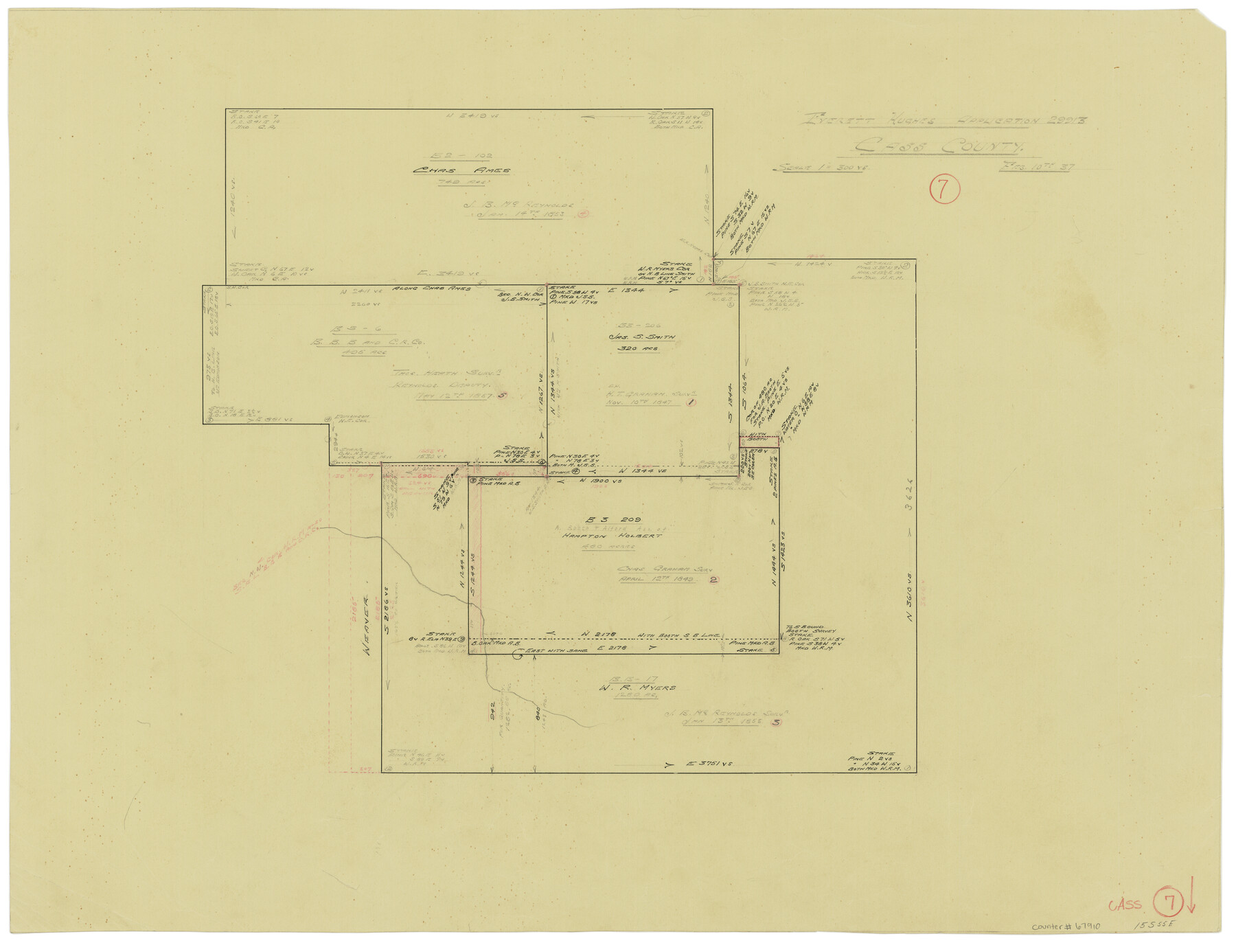
Cass County Working Sketch 7
-
Map/Doc
67910
-
Collection
General Map Collection
-
Object Dates
2/10/1937 (Creation Date)
-
Counties
Cass
-
Subjects
Surveying Working Sketch
-
Height x Width
21.9 x 28.9 inches
55.6 x 73.4 cm
-
Scale
1" = 300 varas
Part of: General Map Collection
Wichita County Sketch File 19a

Print $20.00
- Digital $50.00
Wichita County Sketch File 19a
1892
Size 27.0 x 21.7 inches
Map/Doc 12682
San Patricio County Aerial Photograph Index Sheet 5

Print $20.00
- Digital $50.00
San Patricio County Aerial Photograph Index Sheet 5
1957
Size 23.9 x 19.2 inches
Map/Doc 83747
Hartley County Rolled Sketch 8

Print $20.00
- Digital $50.00
Hartley County Rolled Sketch 8
1974
Size 20.0 x 23.7 inches
Map/Doc 6162
Gillespie County Sketch File 15

Print $20.00
- Digital $50.00
Gillespie County Sketch File 15
1847
Size 17.7 x 19.3 inches
Map/Doc 11556

Presidio County Working Sketch 64

Print $40.00
- Digital $50.00
Presidio County Working Sketch 64
1958
Size 50.2 x 37.5 inches
Map/Doc 71741
Jack County Working Sketch 8

Print $20.00
- Digital $50.00
Jack County Working Sketch 8
1954
Size 30.5 x 35.9 inches
Map/Doc 66434
Map of Texas Gulf Coast and Texas Continental Shelf showing Natural Gas Pipe Lines

Print $40.00
- Digital $50.00
Map of Texas Gulf Coast and Texas Continental Shelf showing Natural Gas Pipe Lines
1973
Size 41.6 x 60.1 inches
Map/Doc 75904
Concho County Rolled Sketch 18

Print $20.00
- Digital $50.00
Concho County Rolled Sketch 18
1955
Size 11.4 x 18.3 inches
Map/Doc 5553
Schleicher County Sketch File 35

Print $20.00
- Digital $50.00
Schleicher County Sketch File 35
1951
Size 13.8 x 19.4 inches
Map/Doc 12308
Crockett County Sketch File 23

Print $2.00
- Digital $50.00
Crockett County Sketch File 23
Size 8.6 x 8.5 inches
Map/Doc 19697
Flight Mission No. BQR-9K, Frame 54, Brazoria County

Print $20.00
- Digital $50.00
Flight Mission No. BQR-9K, Frame 54, Brazoria County
1952
Size 18.5 x 22.3 inches
Map/Doc 84058
You may also like
Oldham County Sketch File 6

Print $20.00
- Digital $50.00
Oldham County Sketch File 6
1883
Size 31.4 x 42.8 inches
Map/Doc 10561
Wichita County Sketch File 15

Print $20.00
- Digital $50.00
Wichita County Sketch File 15
1886
Size 18.6 x 12.2 inches
Map/Doc 12679
Frio County Sketch File 11

Print $4.00
- Digital $50.00
Frio County Sketch File 11
1912
Size 8.4 x 11.2 inches
Map/Doc 23125
Clason's Guide Map of Texas

Print $20.00
- Digital $50.00
Clason's Guide Map of Texas
1919
Size 22.4 x 24.5 inches
Map/Doc 97157
Terrell County Sketch File 35

Print $36.00
- Digital $50.00
Terrell County Sketch File 35
1957
Size 32.0 x 37.6 inches
Map/Doc 10389
Caldwell County

Print $20.00
- Digital $50.00
Caldwell County
1854
Size 20.0 x 20.5 inches
Map/Doc 3354
Wilson County Working Sketch 12

Print $20.00
- Digital $50.00
Wilson County Working Sketch 12
1981
Size 19.5 x 12.9 inches
Map/Doc 72592
Lavaca County Rolled Sketch 3

Print $20.00
- Digital $50.00
Lavaca County Rolled Sketch 3
1959
Size 42.8 x 32.8 inches
Map/Doc 9419
Aransas Pass to Baffin Bay

Print $20.00
- Digital $50.00
Aransas Pass to Baffin Bay
1946
Size 42.1 x 34.3 inches
Map/Doc 73412
Refugio County Rolled Sketch 5

Print $20.00
- Digital $50.00
Refugio County Rolled Sketch 5
1941
Size 45.0 x 42.5 inches
Map/Doc 9859

Galveston County Sketch File 1

Print $4.00
- Digital $50.00
Galveston County Sketch File 1
Size 12.7 x 8.5 inches
Map/Doc 23346