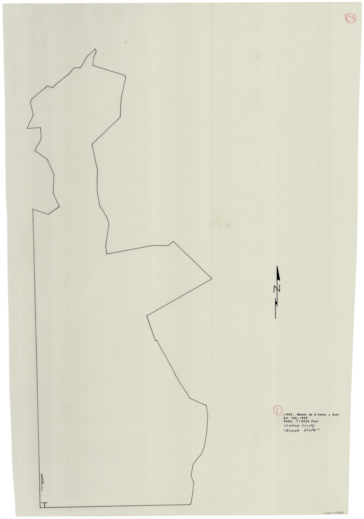
Cameron County Working Sketch 1
1-465 Manuel de la Garza y Sosa - "Buena Vista"
-
Map/Doc
67880
-
Collection
General Map Collection
-
Object Dates
2/1855 (Survey Date)
-
Counties
Cameron
-
Subjects
Surveying Working Sketch
-
Height x Width
42.8 x 30.1 inches
108.7 x 76.5 cm
-
Scale
1" = 2000 feet
Part of: General Map Collection
Stephens County Sketch File 4

Print $4.00
- Digital $50.00
Stephens County Sketch File 4
Size 7.9 x 12.1 inches
Map/Doc 37017
Karte von Indian Point od Indianola / Karte der Stadt Neu Braunfels / Karte der Stadt Friedrichsburg / Hafen von Indian Point oder Indianola

Print $20.00
- Digital $50.00
Karte von Indian Point od Indianola / Karte der Stadt Neu Braunfels / Karte der Stadt Friedrichsburg / Hafen von Indian Point oder Indianola
1850
Size 13.6 x 19.4 inches
Map/Doc 2182
Fort Bend County Working Sketch 2

Print $20.00
- Digital $50.00
Fort Bend County Working Sketch 2
1897
Size 18.3 x 28.4 inches
Map/Doc 69208
Fractional Township No. 7 South Range No. 5 West of the Indian Meridian, Indian Territory

Print $20.00
- Digital $50.00
Fractional Township No. 7 South Range No. 5 West of the Indian Meridian, Indian Territory
1898
Size 19.1 x 24.4 inches
Map/Doc 75189
Galveston County Sketch File 7

Print $20.00
- Digital $50.00
Galveston County Sketch File 7
1859
Size 12.8 x 17.0 inches
Map/Doc 23364
Flight Mission No. DIX-8P, Frame 89, Aransas County

Print $20.00
- Digital $50.00
Flight Mission No. DIX-8P, Frame 89, Aransas County
1956
Size 18.7 x 22.4 inches
Map/Doc 83914
[Surveys in the Jefferson District]
![275, [Surveys in the Jefferson District], General Map Collection](https://historictexasmaps.com/wmedia_w700/maps/275.tif.jpg)
Print $2.00
- Digital $50.00
[Surveys in the Jefferson District]
1841
Size 8.3 x 8.0 inches
Map/Doc 275

Edwards County Working Sketch 137

Print $20.00
- Digital $50.00
Edwards County Working Sketch 137
1997
Size 33.2 x 34.3 inches
Map/Doc 69013
Jones County Sketch File 6

Print $2.00
- Digital $50.00
Jones County Sketch File 6
1873
Size 8.3 x 11.8 inches
Map/Doc 28494
McCulloch County Sketch File 5A

Print $20.00
- Digital $50.00
McCulloch County Sketch File 5A
Size 14.8 x 17.4 inches
Map/Doc 12056
Wood County Sketch File 14

Print $46.00
- Digital $50.00
Wood County Sketch File 14
1907
Size 14.3 x 8.7 inches
Map/Doc 40671
You may also like
Carte du Mexique ou de la Nouvelle Espagne

Print $20.00
Carte du Mexique ou de la Nouvelle Espagne
1750
Size 12.4 x 15.5 inches
Map/Doc 79741
Brazoria County Sketch File 36

Print $40.00
- Digital $50.00
Brazoria County Sketch File 36
1933
Size 34.6 x 45.6 inches
Map/Doc 10325
Medina County Sketch File 16

Print $8.00
- Digital $50.00
Medina County Sketch File 16
1948
Size 11.4 x 8.8 inches
Map/Doc 31476
Pecos County Sketch File 28a

Print $14.00
- Digital $50.00
Pecos County Sketch File 28a
1911
Size 14.5 x 8.9 inches
Map/Doc 33683
Tarrant County Boundary File 2

Print $6.00
- Digital $50.00
Tarrant County Boundary File 2
Size 14.4 x 9.0 inches
Map/Doc 59111
Reagan County Rolled Sketch 16

Print $20.00
- Digital $50.00
Reagan County Rolled Sketch 16
Size 25.6 x 47.5 inches
Map/Doc 9811
Bell County Working Sketch 10

Print $20.00
- Digital $50.00
Bell County Working Sketch 10
1954
Size 38.2 x 41.4 inches
Map/Doc 67350
The Republic County of Bowie. Spring 1842

Print $20.00
The Republic County of Bowie. Spring 1842
2020
Size 19.5 x 21.7 inches
Map/Doc 96105

Sherman County Sketch File D

Print $5.00
- Digital $50.00
Sherman County Sketch File D
1959
Size 10.6 x 8.9 inches
Map/Doc 36721
Jeff Davis County Working Sketch 28

Print $20.00
- Digital $50.00
Jeff Davis County Working Sketch 28
1967
Size 21.2 x 28.6 inches
Map/Doc 66523
Wise County Sketch File 52

Print $20.00
- Digital $50.00
Wise County Sketch File 52
1982
Size 14.2 x 8.6 inches
Map/Doc 40619