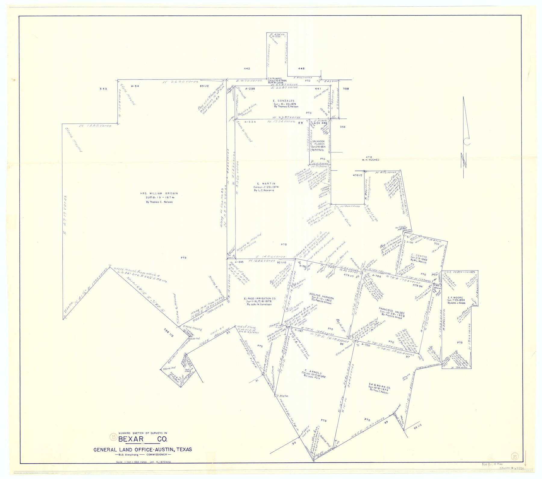
Bexar County Working Sketch 15
-
Map/Doc
67331
-
Collection
General Map Collection
-
Object Dates
1/4/1972 (Creation Date)
-
People and Organizations
Bob Armstrong (GLO Commissioner)
Herbert H. Ulbricht (Draftsman)
-
Counties
Bexar
-
Subjects
Surveying Working Sketch
-
Height x Width
38.3 x 43.3 inches
97.3 x 110.0 cm
-
Scale
1" = 300 varas
-
Comments
Surveys located about 15 miles North 15 degrees East of San Antonio, Texas.
Part of: General Map Collection
Martin County Boundary File 3

Print $2.00
- Digital $50.00
Martin County Boundary File 3
Size 7.1 x 11.3 inches
Map/Doc 56781
Flight Mission No. DQO-3K, Frame 24, Galveston County

Print $20.00
- Digital $50.00
Flight Mission No. DQO-3K, Frame 24, Galveston County
1952
Size 18.7 x 22.4 inches
Map/Doc 85065

Flight Mission No. DQN-2K, Frame 134, Calhoun County

Print $20.00
- Digital $50.00
Flight Mission No. DQN-2K, Frame 134, Calhoun County
1953
Size 18.8 x 22.4 inches
Map/Doc 84303
Donley County Boundary File 6

Print $6.00
- Digital $50.00
Donley County Boundary File 6
Size 5.7 x 8.7 inches
Map/Doc 52637
Jackson County Rolled Sketch 6

Print $20.00
- Digital $50.00
Jackson County Rolled Sketch 6
1914
Size 23.6 x 26.6 inches
Map/Doc 6341
Lampasas County Rolled Sketch 3

Print $20.00
- Digital $50.00
Lampasas County Rolled Sketch 3
Size 43.8 x 33.9 inches
Map/Doc 9554
Hutchinson County Rolled Sketch 44-15

Print $20.00
- Digital $50.00
Hutchinson County Rolled Sketch 44-15
2002
Size 24.0 x 36.0 inches
Map/Doc 77551
Carson County Sketch File 6b

Print $22.00
- Digital $50.00
Carson County Sketch File 6b
1928
Size 13.4 x 8.6 inches
Map/Doc 17378
Crockett County Rolled Sketch P

Print $20.00
- Digital $50.00
Crockett County Rolled Sketch P
1927
Size 24.3 x 47.3 inches
Map/Doc 8696
Baylor County Boundary File 9

Print $4.00
- Digital $50.00
Baylor County Boundary File 9
Size 11.2 x 8.7 inches
Map/Doc 50407
Mitchell County Sketch File 6

Print $40.00
- Digital $50.00
Mitchell County Sketch File 6
Size 12.4 x 13.5 inches
Map/Doc 31692
You may also like
Travis County Rolled Sketch 5

Print $20.00
- Digital $50.00
Travis County Rolled Sketch 5
1924
Size 24.1 x 27.9 inches
Map/Doc 8011
Wichita County Sketch File 4

Print $20.00
- Digital $50.00
Wichita County Sketch File 4
1856
Size 9.8 x 33.2 inches
Map/Doc 76764
[Sketch showing T.&P. "B" Blocks in Tsp. 1S, Tsp. 2S, Tsp. 3S and Tsp. 4S]
![89747, [Sketch showing T.&P. "B" Blocks in Tsp. 1S, Tsp. 2S, Tsp. 3S and Tsp. 4S], Twichell Survey Records](https://historictexasmaps.com/wmedia_w700/maps/89747-1.tif.jpg)
Print $40.00
- Digital $50.00
[Sketch showing T.&P. "B" Blocks in Tsp. 1S, Tsp. 2S, Tsp. 3S and Tsp. 4S]
Size 49.4 x 42.5 inches
Map/Doc 89747
United States - Gulf Coast - Galveston to Rio Grande

Print $20.00
- Digital $50.00
United States - Gulf Coast - Galveston to Rio Grande
1919
Size 27.1 x 18.3 inches
Map/Doc 72745
Tarrant County Sketch File 1a

Print $4.00
- Digital $50.00
Tarrant County Sketch File 1a
1851
Size 10.2 x 7.8 inches
Map/Doc 37670
Hamilton County Working Sketch 22

Print $20.00
- Digital $50.00
Hamilton County Working Sketch 22
1955
Size 41.6 x 19.0 inches
Map/Doc 63360
[Houston & Texas Central Ry.]
![64363, [Houston & Texas Central Ry.], General Map Collection](https://historictexasmaps.com/wmedia_w700/maps/64363.tif.jpg)
Print $20.00
- Digital $50.00
[Houston & Texas Central Ry.]
1939
Size 15.5 x 13.8 inches
Map/Doc 64363
Right of Way and Track Map International & Gt. Northern Ry. operated by the International & Gt. Northern Ry. Co., Columbia Branch, Gulf Division

Print $40.00
- Digital $50.00
Right of Way and Track Map International & Gt. Northern Ry. operated by the International & Gt. Northern Ry. Co., Columbia Branch, Gulf Division
1917
Size 25.1 x 56.7 inches
Map/Doc 64597
Gaines County Sketch File 12

Print $4.00
- Digital $50.00
Gaines County Sketch File 12
1950
Size 14.3 x 8.8 inches
Map/Doc 23198
Nolan County Rolled Sketch 2A

Print $20.00
- Digital $50.00
Nolan County Rolled Sketch 2A
Size 26.9 x 34.8 inches
Map/Doc 6861
Brewster County Working Sketch 75

Print $20.00
- Digital $50.00
Brewster County Working Sketch 75
1967
Size 28.3 x 36.9 inches
Map/Doc 67675
Nueces County NRC Article 33.136 Sketch 5

Print $48.00
- Digital $50.00
Nueces County NRC Article 33.136 Sketch 5
2002
Size 22.9 x 34.7 inches
Map/Doc 78666