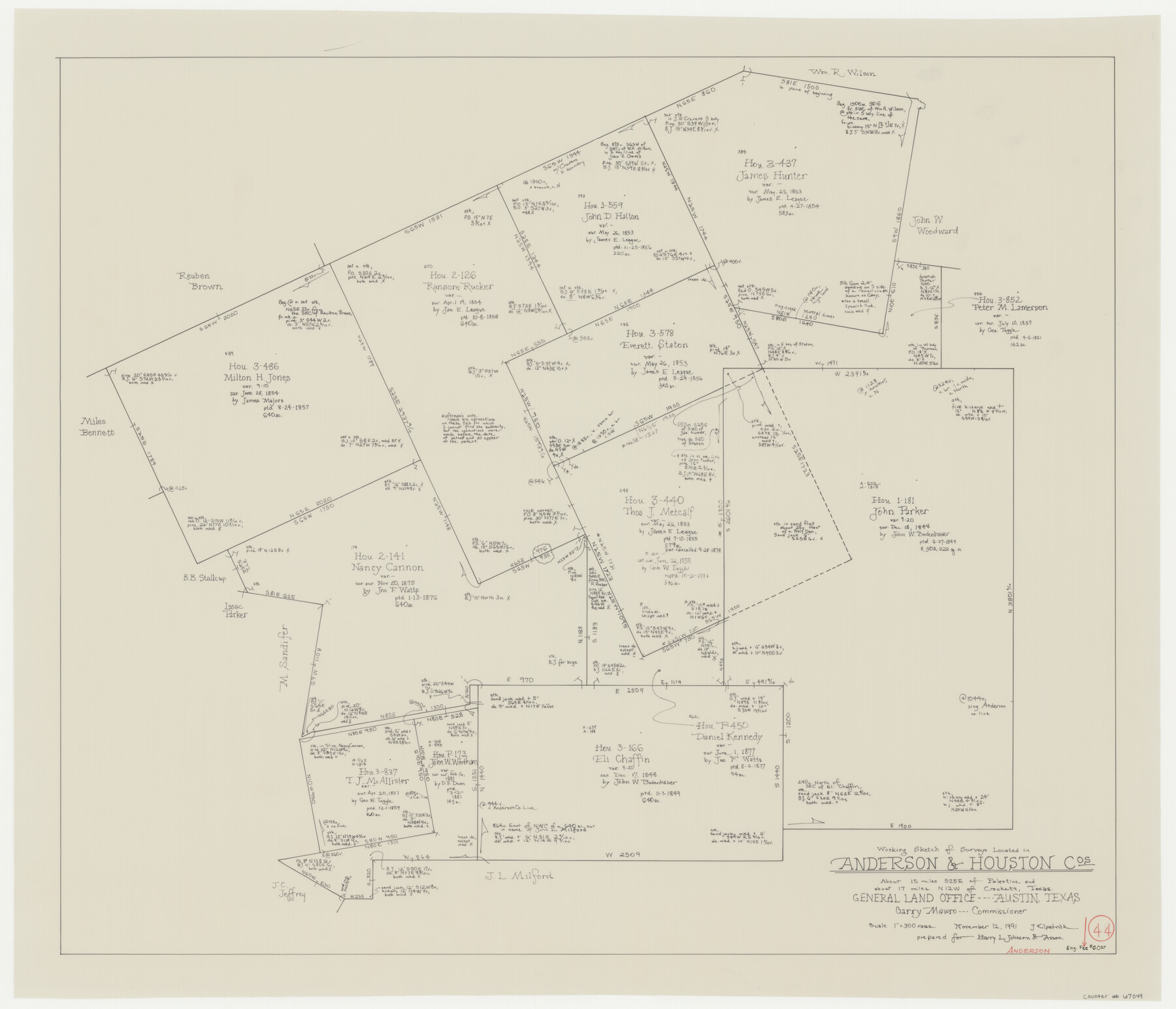
Anderson County Working Sketch 44
-
Map/Doc
67044
-
Collection
General Map Collection
-
Object Dates
11/12/1991 (Creation Date)
-
People and Organizations
Garry Mauro (GLO Commissioner)
Joan Kilpatrick (Draftsman)
-
Counties
Anderson Houston
-
Subjects
Surveying Working Sketch
-
Height x Width
27.7 x 32.3 inches
70.4 x 82.0 cm
-
Scale
1" = 300 varas
-
Comments
Surveys located about 15 miles South 25 degrees East of Palestine, Texas.
Part of: General Map Collection
Nacogdoches County Sketch File 14

Print $42.00
- Digital $50.00
Nacogdoches County Sketch File 14
1926
Size 8.8 x 11.3 inches
Map/Doc 32259
Flight Mission No. BRA-8M, Frame 114, Jefferson County

Print $20.00
- Digital $50.00
Flight Mission No. BRA-8M, Frame 114, Jefferson County
1953
Size 18.6 x 22.2 inches
Map/Doc 85610
Harris County Working Sketch 65

Print $20.00
- Digital $50.00
Harris County Working Sketch 65
1955
Size 29.5 x 28.6 inches
Map/Doc 65957
Austin County Working Sketch 2

Print $20.00
- Digital $50.00
Austin County Working Sketch 2
1944
Size 23.3 x 27.0 inches
Map/Doc 67243
Presidio County Working Sketch 12

Print $20.00
- Digital $50.00
Presidio County Working Sketch 12
1941
Size 22.3 x 19.9 inches
Map/Doc 71687
Hartley County Rolled Sketch 2

Print $20.00
- Digital $50.00
Hartley County Rolled Sketch 2
Size 41.2 x 27.6 inches
Map/Doc 6158
Tarrant County Sketch File 1a

Print $4.00
- Digital $50.00
Tarrant County Sketch File 1a
1851
Size 10.2 x 7.8 inches
Map/Doc 37670
Controlled Mosaic by Jack Amman Photogrammetric Engineers, Inc - Sheet 16

Print $20.00
- Digital $50.00
Controlled Mosaic by Jack Amman Photogrammetric Engineers, Inc - Sheet 16
1954
Size 20.0 x 24.0 inches
Map/Doc 83460
Maps & Lists Showing Prison Lands (Oil & Gas) Leased as of June 1955

Digital $50.00
Maps & Lists Showing Prison Lands (Oil & Gas) Leased as of June 1955
Size 11.4 x 7.1 inches
Map/Doc 62865
Mason County Working Sketch 24

Print $20.00
- Digital $50.00
Mason County Working Sketch 24
2008
Size 20.5 x 26.5 inches
Map/Doc 88825
Uvalde County Sketch File 24

Print $42.00
- Digital $50.00
Uvalde County Sketch File 24
1926
Size 19.4 x 29.9 inches
Map/Doc 12536
Brewster County Rolled Sketch 126

Print $225.00
- Digital $50.00
Brewster County Rolled Sketch 126
1908
Map/Doc 43230
You may also like
France Baker Farm

Print $3.00
- Digital $50.00
France Baker Farm
Size 9.5 x 12.0 inches
Map/Doc 92332
Jackson County Rolled Sketch 2

Print $20.00
- Digital $50.00
Jackson County Rolled Sketch 2
Size 14.1 x 17.9 inches
Map/Doc 6335
Zavala County Working Sketch 9

Print $20.00
- Digital $50.00
Zavala County Working Sketch 9
1951
Size 42.0 x 36.4 inches
Map/Doc 62084
Bandera County Working Sketch 47

Print $20.00
- Digital $50.00
Bandera County Working Sketch 47
1981
Size 19.6 x 12.0 inches
Map/Doc 67643
Dimmit County Working Sketch Graphic Index - sheet B

Print $40.00
- Digital $50.00
Dimmit County Working Sketch Graphic Index - sheet B
1976
Size 41.5 x 49.9 inches
Map/Doc 76525
Brewster County Sketch File FN-30

Print $4.00
- Digital $50.00
Brewster County Sketch File FN-30
1975
Size 12.0 x 8.7 inches
Map/Doc 15850
Burnet County Sketch File 31

Print $4.00
- Digital $50.00
Burnet County Sketch File 31
1875
Size 12.7 x 8.1 inches
Map/Doc 16748
Lamar County Working Sketch 6

Print $20.00
- Digital $50.00
Lamar County Working Sketch 6
1964
Size 37.7 x 26.1 inches
Map/Doc 70267
Flight Mission No. DIX-7P, Frame 88, Aransas County

Print $20.00
- Digital $50.00
Flight Mission No. DIX-7P, Frame 88, Aransas County
1956
Size 18.7 x 22.3 inches
Map/Doc 83882
Donley County Sketch File B7

Print $20.00
- Digital $50.00
Donley County Sketch File B7
1919
Size 25.5 x 32.4 inches
Map/Doc 11377
[Sketch for Mineral Application 17237 / Mineral File 11855 - Neches River, Joe A. Sanders]
![65686, [Sketch for Mineral Application 17237 / Mineral File 11855 - Neches River, Joe A. Sanders], General Map Collection](https://historictexasmaps.com/wmedia_w700/maps/65686.tif.jpg)
Print $40.00
- Digital $50.00
[Sketch for Mineral Application 17237 / Mineral File 11855 - Neches River, Joe A. Sanders]
1927
Size 78.2 x 30.7 inches
Map/Doc 65686
Upton County Rolled Sketch 23

Print $20.00
- Digital $50.00
Upton County Rolled Sketch 23
1940
Size 25.7 x 39.4 inches
Map/Doc 8074