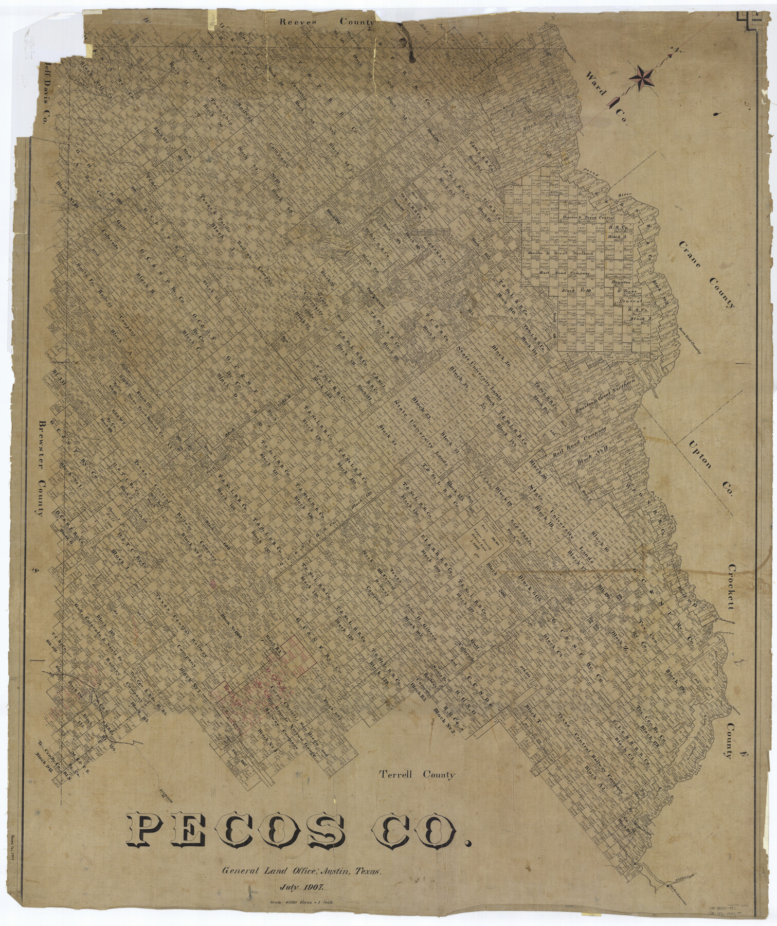
Pecos Co.
-
Map/Doc
66976
-
Collection
General Map Collection
-
Object Dates
1907 (Creation Date)
-
People and Organizations
Texas General Land Office (Publisher)
-
Counties
Pecos
-
Subjects
County
-
Height x Width
47.8 x 40.1 inches
121.4 x 101.9 cm
Part of: General Map Collection
[Surveys above the San Antonio Road]
![69758, [Surveys above the San Antonio Road], General Map Collection](https://historictexasmaps.com/wmedia_w700/maps/69758.tif.jpg)
Print $2.00
- Digital $50.00
[Surveys above the San Antonio Road]
1846
Size 8.5 x 7.6 inches
Map/Doc 69758
Intracoastal Waterway - Gibbstown to Port Arthur

Print $20.00
- Digital $50.00
Intracoastal Waterway - Gibbstown to Port Arthur
1961
Size 26.6 x 38.7 inches
Map/Doc 69833
Right of Way Map Fort Worth & Denver City Railroad through Hardeman County

Print $40.00
- Digital $50.00
Right of Way Map Fort Worth & Denver City Railroad through Hardeman County
1885
Size 23.8 x 121.2 inches
Map/Doc 64424
Houston County Working Sketch 18

Print $20.00
- Digital $50.00
Houston County Working Sketch 18
Size 18.8 x 22.5 inches
Map/Doc 66248
Angelina County Sketch File 11e

Print $6.00
- Digital $50.00
Angelina County Sketch File 11e
1885
Size 12.7 x 8.2 inches
Map/Doc 12951
Flight Mission No. DQN-2K, Frame 196, Calhoun County

Print $20.00
- Digital $50.00
Flight Mission No. DQN-2K, Frame 196, Calhoun County
1953
Size 16.3 x 16.1 inches
Map/Doc 84335
Map of Jones County

Print $20.00
- Digital $50.00
Map of Jones County
1898
Size 41.9 x 39.8 inches
Map/Doc 4996
Hamilton County Sketch File A

Print $4.00
- Digital $50.00
Hamilton County Sketch File A
1879
Size 9.1 x 8.2 inches
Map/Doc 24948
Flight Mission No. DQO-12K, Frame 41, Galveston County

Print $20.00
- Digital $50.00
Flight Mission No. DQO-12K, Frame 41, Galveston County
1952
Size 18.6 x 22.4 inches
Map/Doc 85231
Trace of a copy of the map captured at the battle of Resaca de la Palma

Print $20.00
- Digital $50.00
Trace of a copy of the map captured at the battle of Resaca de la Palma
Size 18.4 x 27.4 inches
Map/Doc 73055
Anderson County Rolled Sketch 8

Print $20.00
- Digital $50.00
Anderson County Rolled Sketch 8
Size 34.8 x 23.9 inches
Map/Doc 77154
Map of the Panhandle Railway

Print $40.00
- Digital $50.00
Map of the Panhandle Railway
1888
Size 22.6 x 114.7 inches
Map/Doc 64461
You may also like
Kenedy & Kleberg Counties, Riviera Beach

Print $20.00
- Digital $50.00
Kenedy & Kleberg Counties, Riviera Beach
1952
Size 32.6 x 28.1 inches
Map/Doc 73507
Cherokee County Working Sketch 16

Print $20.00
- Digital $50.00
Cherokee County Working Sketch 16
1958
Size 21.9 x 22.5 inches
Map/Doc 67971
Carson County Boundary File 5 and 5a

Print $50.00
- Digital $50.00
Carson County Boundary File 5 and 5a
Size 8.8 x 4.4 inches
Map/Doc 51134
General Chart of the Kingdom of New Spain betn. parallels of 16 & 38° N. from materials in Mexico at commencement of year of 1804

Print $20.00
General Chart of the Kingdom of New Spain betn. parallels of 16 & 38° N. from materials in Mexico at commencement of year of 1804
1804
Size 38.4 x 26.5 inches
Map/Doc 95310
Duval County Sketch File 19a

Print $40.00
- Digital $50.00
Duval County Sketch File 19a
1880
Size 12.7 x 14.2 inches
Map/Doc 21318
Van Zandt County Sketch File 47a

Print $7.00
- Digital $50.00
Van Zandt County Sketch File 47a
1875
Size 10.0 x 8.2 inches
Map/Doc 39507
[Sketch for Mineral Application 13439 - Bed Lost Lake, Walle Merritt]
![65578, [Sketch for Mineral Application 13439 - Bed Lost Lake, Walle Merritt], General Map Collection](https://historictexasmaps.com/wmedia_w700/maps/65578.tif.jpg)
Print $20.00
- Digital $50.00
[Sketch for Mineral Application 13439 - Bed Lost Lake, Walle Merritt]
1925
Size 31.0 x 29.6 inches
Map/Doc 65578
Colorado County Working Sketch 3

Print $20.00
- Digital $50.00
Colorado County Working Sketch 3
1911
Size 23.2 x 19.2 inches
Map/Doc 68103
Northeast Part Pecos County

Print $20.00
- Digital $50.00
Northeast Part Pecos County
1975
Size 35.5 x 42.3 inches
Map/Doc 77394
Chambers County Boundary File 1

Print $28.00
- Digital $50.00
Chambers County Boundary File 1
Size 8.9 x 6.7 inches
Map/Doc 51226

PSL Field Notes for Blocks 58, 59, 60 1/2, 61 1/2, 62 1/2, 63 1/2, 64 1/2, 65 1/2, 66 1/2, 67 1/2, 68 1/2, 69 1/2, 70, 71, and 72 in Hudspeth County

PSL Field Notes for Blocks 58, 59, 60 1/2, 61 1/2, 62 1/2, 63 1/2, 64 1/2, 65 1/2, 66 1/2, 67 1/2, 68 1/2, 69 1/2, 70, 71, and 72 in Hudspeth County
Map/Doc 81662