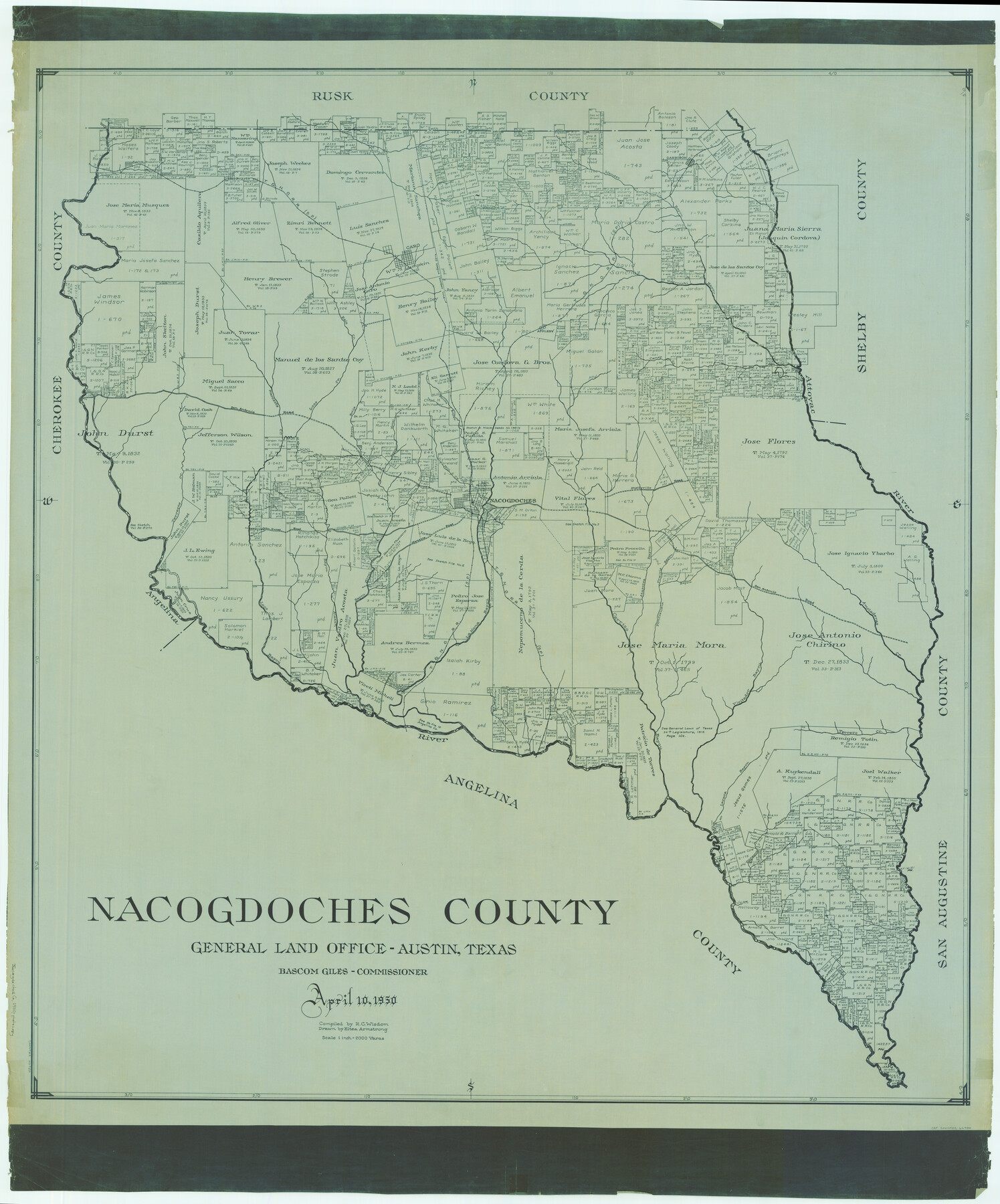
Nacogdoches County
-
Map/Doc
66950
-
Collection
General Map Collection
-
Object Dates
1950/4/10 (Creation Date)
-
People and Organizations
Texas General Land Office (Publisher)
Bascom Giles (GLO Commissioner)
Eltea Armstrong (Draftsman)
R.C. Wisdom (Compiler)
-
Counties
Nacogdoches
-
Subjects
County
-
Height x Width
51.0 x 42.4 inches
129.5 x 107.7 cm
Part of: General Map Collection
Ochiltree County Sketch File 4

Print $10.00
- Digital $50.00
Ochiltree County Sketch File 4
1915
Size 11.3 x 8.7 inches
Map/Doc 33179
Brown County Rolled Sketch 2

Print $20.00
- Digital $50.00
Brown County Rolled Sketch 2
1984
Size 42.4 x 25.2 inches
Map/Doc 5349
Coryell County Sketch File 17 1/2

Print $20.00
- Digital $50.00
Coryell County Sketch File 17 1/2
Size 16.0 x 23.6 inches
Map/Doc 11182
La Salle County Rolled Sketch 34

Print $20.00
- Digital $50.00
La Salle County Rolled Sketch 34
2019
Size 22.3 x 35.5 inches
Map/Doc 95702
Flight Mission No. DQN-1K, Frame 142, Calhoun County

Print $20.00
- Digital $50.00
Flight Mission No. DQN-1K, Frame 142, Calhoun County
1953
Size 18.8 x 22.3 inches
Map/Doc 84205
Parker County Working Sketch 8

Print $20.00
- Digital $50.00
Parker County Working Sketch 8
1956
Map/Doc 71458
[Sketch for Mineral Application 24070 - Smith and Wood Counties, R. A. Tofflemire]
![65643, [Sketch for Mineral Application 24070 - Smith and Wood Counties, R. A. Tofflemire], General Map Collection](https://historictexasmaps.com/wmedia_w700/maps/65643.tif.jpg)
Print $40.00
- Digital $50.00
[Sketch for Mineral Application 24070 - Smith and Wood Counties, R. A. Tofflemire]
1929
Size 42.7 x 226.9 inches
Map/Doc 65643
Map of Baylor County Young Land District, formely Fannin District

Print $20.00
- Digital $50.00
Map of Baylor County Young Land District, formely Fannin District
1859
Size 25.8 x 20.0 inches
Map/Doc 3281
[Surveys in the Jefferson District]
![69726, [Surveys in the Jefferson District], General Map Collection](https://historictexasmaps.com/wmedia_w700/maps/69726-1.tif.jpg)
Print $20.00
- Digital $50.00
[Surveys in the Jefferson District]
1841
Size 14.6 x 21.2 inches
Map/Doc 69726
Flight Mission No. DQN-7K, Frame 36, Calhoun County

Print $20.00
- Digital $50.00
Flight Mission No. DQN-7K, Frame 36, Calhoun County
1953
Size 18.5 x 22.2 inches
Map/Doc 84474
Kinney County Working Sketch 6

Print $20.00
- Digital $50.00
Kinney County Working Sketch 6
1908
Size 19.6 x 23.9 inches
Map/Doc 70188
Gaines County Working Sketch 21

Print $20.00
- Digital $50.00
Gaines County Working Sketch 21
1970
Size 37.8 x 45.4 inches
Map/Doc 69321
You may also like
Kimble County Working Sketch 56

Print $20.00
- Digital $50.00
Kimble County Working Sketch 56
1957
Size 34.6 x 41.9 inches
Map/Doc 70124
Bell County Sketch File 12

Print $4.00
- Digital $50.00
Bell County Sketch File 12
1852
Size 8.1 x 12.5 inches
Map/Doc 14385
Nueces County Sketch File 12b

Print $8.00
- Digital $50.00
Nueces County Sketch File 12b
1889
Size 14.2 x 8.8 inches
Map/Doc 32530
San Antonio & Aransas Pass R.R. Right of Way from Eagle Lake to Brazos River

Print $20.00
- Digital $50.00
San Antonio & Aransas Pass R.R. Right of Way from Eagle Lake to Brazos River
1895
Size 29.7 x 13.0 inches
Map/Doc 64257
Anderson County Sketch File 25

Print $40.00
- Digital $50.00
Anderson County Sketch File 25
1969
Size 40.9 x 21.9 inches
Map/Doc 10316
Cottle County

Print $20.00
- Digital $50.00
Cottle County
1908
Size 45.0 x 41.0 inches
Map/Doc 66789
Navarro County Working Sketch Graphic Index

Print $40.00
- Digital $50.00
Navarro County Working Sketch Graphic Index
1924
Size 42.7 x 48.7 inches
Map/Doc 76652
Kendall County Working Sketch 16

Print $20.00
- Digital $50.00
Kendall County Working Sketch 16
1967
Size 28.0 x 29.1 inches
Map/Doc 66688
Right of Way and Track Map Houston & Texas Central R.R. operated by the T. & N.O. R.R. Co., Austin Branch

Print $40.00
- Digital $50.00
Right of Way and Track Map Houston & Texas Central R.R. operated by the T. & N.O. R.R. Co., Austin Branch
1918
Size 26.0 x 57.9 inches
Map/Doc 64557
Menard County Working Sketch 19

Print $20.00
- Digital $50.00
Menard County Working Sketch 19
1948
Size 25.1 x 22.4 inches
Map/Doc 70966
Throckmorton County Rolled Sketch 3B

Print $20.00
- Digital $50.00
Throckmorton County Rolled Sketch 3B
Size 31.3 x 37.9 inches
Map/Doc 7988
![89869, [Morton], Twichell Survey Records](https://historictexasmaps.com/wmedia_w700/maps/89869-1.tif.jpg)