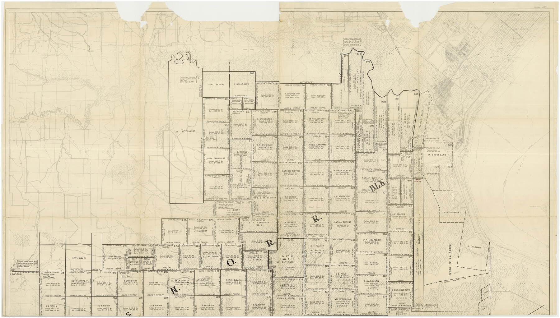
Jefferson County Rolled Sketch 49
[Map showing portion of southeast Jefferson County, Texas]
-
Map/Doc
66844
-
Collection
General Map Collection
-
Object Dates
1963 (Creation Date)
1963/10/11 (File Date)
-
People and Organizations
E. Burnett (Surveyor/Engineer)
-
Counties
Jefferson
-
Subjects
Surveying Rolled Sketch
-
Height x Width
32.5 x 57.4 inches
82.6 x 145.8 cm
-
Medium
paper, print
-
Scale
1" = 720 varas
-
Comments
Sheet 2 of 2. For sheet 1, see Jefferson County Rolled Sketch 49 (46415)
Related maps
Jefferson County Rolled Sketch 49

Print $40.00
- Digital $50.00
Jefferson County Rolled Sketch 49
1963
Size 30.6 x 57.5 inches
Map/Doc 46415
Part of: General Map Collection
Travis County Rolled Sketch 46

Print $20.00
- Digital $50.00
Travis County Rolled Sketch 46
1966
Size 25.4 x 37.6 inches
Map/Doc 8043
Map of Portion of the Gulf of Mexico Adjoining Jefferson County Showing Subdivision Thereof for Mineral Development

Print $20.00
- Digital $50.00
Map of Portion of the Gulf of Mexico Adjoining Jefferson County Showing Subdivision Thereof for Mineral Development
1937
Size 20.5 x 39.0 inches
Map/Doc 3020
Bee County Sketch File 1a

Print $12.00
- Digital $50.00
Bee County Sketch File 1a
1846
Size 9.8 x 6.5 inches
Map/Doc 14359
San Saba County Sketch File 1

Print $46.00
- Digital $50.00
San Saba County Sketch File 1
1854
Size 9.1 x 7.8 inches
Map/Doc 36400
Polk County Sketch File 21

Print $8.00
- Digital $50.00
Polk County Sketch File 21
Size 12.9 x 8.3 inches
Map/Doc 34169
[Sketch for Mineral Application 24072, San Jacinto River]
![65598, [Sketch for Mineral Application 24072, San Jacinto River], General Map Collection](https://historictexasmaps.com/wmedia_w700/maps/65598.tif.jpg)
Print $20.00
- Digital $50.00
[Sketch for Mineral Application 24072, San Jacinto River]
1929
Size 24.6 x 18.3 inches
Map/Doc 65598
Lee County Sketch File 1

Print $4.00
- Digital $50.00
Lee County Sketch File 1
1856
Size 13.1 x 8.2 inches
Map/Doc 29678
Montague County Sketch File 13

Print $4.00
- Digital $50.00
Montague County Sketch File 13
1879
Size 8.9 x 9.0 inches
Map/Doc 31738
San Patricio County Rolled Sketch 17A

Print $20.00
- Digital $50.00
San Patricio County Rolled Sketch 17A
1917
Size 15.7 x 23.8 inches
Map/Doc 7575
Trinity County Sketch File 5

Print $64.00
- Digital $50.00
Trinity County Sketch File 5
1909
Size 17.9 x 28.8 inches
Map/Doc 12482
Bailey County

Print $40.00
- Digital $50.00
Bailey County
1956
Size 48.8 x 31.5 inches
Map/Doc 73074
Maps of Gulf Intracoastal Waterway, Texas - Sabine River to the Rio Grande and connecting waterways including ship channels

Print $20.00
- Digital $50.00
Maps of Gulf Intracoastal Waterway, Texas - Sabine River to the Rio Grande and connecting waterways including ship channels
1966
Size 14.4 x 22.2 inches
Map/Doc 61943
You may also like
Nueces County Rolled Sketch 70

Print $60.00
Nueces County Rolled Sketch 70
1980
Size 25.3 x 38.0 inches
Map/Doc 6921
General Highway Map, Burnet County, Texas

Print $20.00
General Highway Map, Burnet County, Texas
1961
Size 18.0 x 24.6 inches
Map/Doc 79392
Sutton County Working Sketch 8

Print $20.00
- Digital $50.00
Sutton County Working Sketch 8
Size 14.2 x 21.6 inches
Map/Doc 62351
Wichita County Working Sketch 24

Print $20.00
- Digital $50.00
Wichita County Working Sketch 24
1971
Size 21.2 x 16.2 inches
Map/Doc 72534
Clay County Sketch File 26

Print $84.00
- Digital $50.00
Clay County Sketch File 26
1888
Size 14.3 x 9.0 inches
Map/Doc 18442
Jefferson County Rolled Sketch 48

Print $20.00
- Digital $50.00
Jefferson County Rolled Sketch 48
Size 15.3 x 24.9 inches
Map/Doc 6405
Real County Working Sketch 74

Print $20.00
- Digital $50.00
Real County Working Sketch 74
1979
Size 17.1 x 23.5 inches
Map/Doc 71966
Working Sketch in McMullen County

Print $20.00
- Digital $50.00
Working Sketch in McMullen County
1919
Size 20.3 x 31.7 inches
Map/Doc 91345
Johnson County Rolled Sketch 1

Print $20.00
- Digital $50.00
Johnson County Rolled Sketch 1
1941
Size 19.4 x 33.4 inches
Map/Doc 6446
Pecos County Working Sketch 98

Print $20.00
- Digital $50.00
Pecos County Working Sketch 98
1970
Size 42.8 x 31.8 inches
Map/Doc 71571
Anderson County Sketch File 27

Print $40.00
- Digital $50.00
Anderson County Sketch File 27
1970
Size 19.5 x 23.7 inches
Map/Doc 10806
Limestone County Rolled Sketch 4

Print $20.00
- Digital $50.00
Limestone County Rolled Sketch 4
1921
Size 35.1 x 35.1 inches
Map/Doc 9573