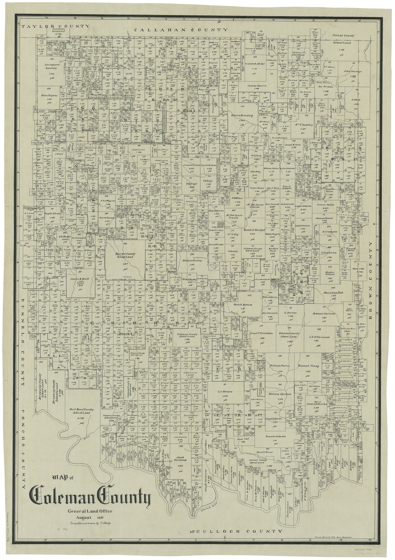
Coleman County
-
Map/Doc
66758
-
Collection
General Map Collection
-
Object Dates
8/1897 (Creation Date)
-
People and Organizations
Texas General Land Office (Publisher)
Ed. Schutze (Draftsman)
Ed. Schutze (Compiler)
-
Counties
Coleman
-
Subjects
County
-
Height x Width
49.4 x 34.9 inches
125.5 x 88.7 cm
-
Comments
Traced March 31, 1936 by J. L. Woodland.
Part of: General Map Collection
Lampasas County Sketch File 8

Print $4.00
- Digital $50.00
Lampasas County Sketch File 8
1872
Size 8.8 x 7.7 inches
Map/Doc 29406
Knox County Rolled Sketch 7

Print $20.00
- Digital $50.00
Knox County Rolled Sketch 7
Size 25.5 x 39.9 inches
Map/Doc 6556
Fort Bend County Working Sketch 31

Print $20.00
- Digital $50.00
Fort Bend County Working Sketch 31
1984
Size 28.9 x 16.0 inches
Map/Doc 69237
Liberty County Sketch File 17

Print $2.00
- Digital $50.00
Liberty County Sketch File 17
Size 8.2 x 3.2 inches
Map/Doc 29919
Right-of-Way and Track Map, Texas State Railroad operated by the T. and N. O. R.R. Co.

Print $40.00
- Digital $50.00
Right-of-Way and Track Map, Texas State Railroad operated by the T. and N. O. R.R. Co.
1917
Size 24.8 x 56.3 inches
Map/Doc 64173
Part of Matagorda Bay & Peninsula, Texas

Print $40.00
- Digital $50.00
Part of Matagorda Bay & Peninsula, Texas
1856
Size 31.8 x 51.4 inches
Map/Doc 69978
Lamb County Sketch File 15

Print $6.00
- Digital $50.00
Lamb County Sketch File 15
Size 9.8 x 10.9 inches
Map/Doc 29377
Hutchinson County Rolled Sketch 21

Print $20.00
- Digital $50.00
Hutchinson County Rolled Sketch 21
Size 28.4 x 36.1 inches
Map/Doc 6286
Surveyors report on resurvey of Capitol Leagues in three parts, also copy of judgement of the District Court, Travis County

Print $20.00
- Digital $50.00
Surveyors report on resurvey of Capitol Leagues in three parts, also copy of judgement of the District Court, Travis County
Size 12.3 x 15.8 inches
Map/Doc 62579
Stephens County Sketch File 8

Print $40.00
- Digital $50.00
Stephens County Sketch File 8
1879
Size 13.5 x 14.2 inches
Map/Doc 37027
Medina County

Print $40.00
- Digital $50.00
Medina County
1976
Size 53.5 x 44.2 inches
Map/Doc 95587
Shackelford County Working Sketch 13

Print $20.00
- Digital $50.00
Shackelford County Working Sketch 13
1999
Size 18.6 x 16.2 inches
Map/Doc 63853
You may also like
United States Gulf Coast - from Galveston to the Rio Grande

Print $20.00
- Digital $50.00
United States Gulf Coast - from Galveston to the Rio Grande
1915
Size 26.4 x 18.2 inches
Map/Doc 72733
Flight Mission No. DQN-2K, Frame 135, Calhoun County

Print $20.00
- Digital $50.00
Flight Mission No. DQN-2K, Frame 135, Calhoun County
1953
Size 19.0 x 22.5 inches
Map/Doc 84304
Crockett County Rolled Sketch 88G

Print $40.00
- Digital $50.00
Crockett County Rolled Sketch 88G
1973
Size 42.7 x 57.3 inches
Map/Doc 8732

Matagorda County Sketch File 10

Print $26.00
- Digital $50.00
Matagorda County Sketch File 10
Size 8.3 x 5.2 inches
Map/Doc 30755
Dimmit County Working Sketch 51

Print $20.00
- Digital $50.00
Dimmit County Working Sketch 51
1986
Size 25.7 x 36.1 inches
Map/Doc 68712
McLennan County Sketch File 22

Print $3.00
- Digital $50.00
McLennan County Sketch File 22
1869
Size 11.1 x 9.3 inches
Map/Doc 31296
Cherokee County Sketch File 16

Print $44.00
- Digital $50.00
Cherokee County Sketch File 16
1862
Size 10.0 x 8.0 inches
Map/Doc 18152
Flight Mission No. CRC-3R, Frame 32, Chambers County

Print $20.00
- Digital $50.00
Flight Mission No. CRC-3R, Frame 32, Chambers County
1956
Size 18.6 x 22.3 inches
Map/Doc 84805
Stephens County Working Sketch 26

Print $20.00
- Digital $50.00
Stephens County Working Sketch 26
1976
Size 36.9 x 32.2 inches
Map/Doc 63969
Midland County Rolled Sketch RE

Print $20.00
- Digital $50.00
Midland County Rolled Sketch RE
1929
Size 43.4 x 32.8 inches
Map/Doc 6770
Coryell County Sketch File 18

Print $2.00
- Digital $50.00
Coryell County Sketch File 18
Size 15.3 x 8.0 inches
Map/Doc 19379