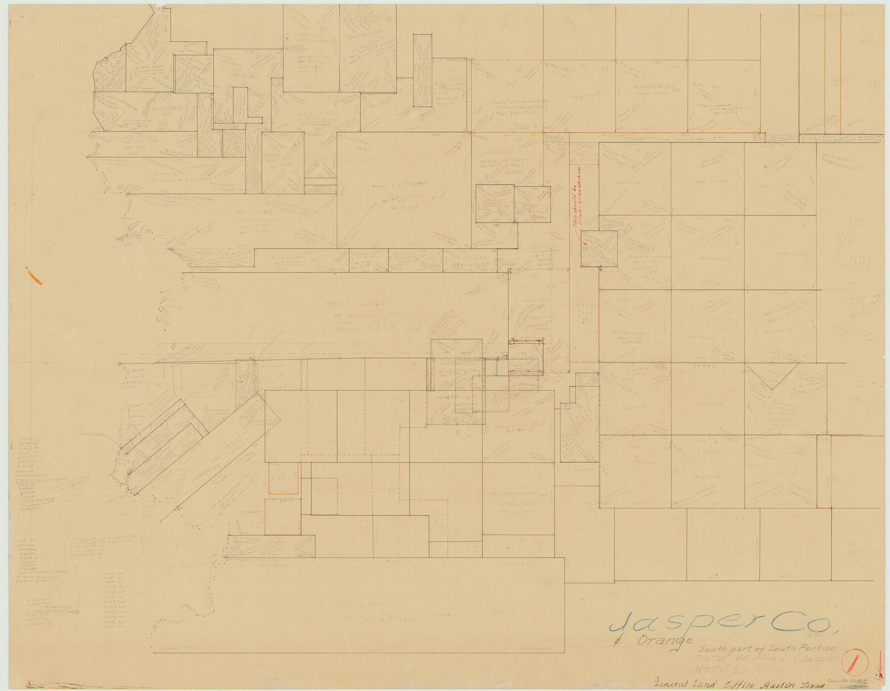
Jasper County Working Sketch 1
-
Map/Doc
66463
-
Collection
General Map Collection
-
Counties
Jasper Orange
-
Subjects
Surveying Working Sketch
-
Height x Width
18.2 x 23.4 inches
46.2 x 59.4 cm
Part of: General Map Collection
Kent County Working Sketch 12

Print $20.00
- Digital $50.00
Kent County Working Sketch 12
1953
Size 33.8 x 24.3 inches
Map/Doc 70019
Limestone County Sketch File 14

Print $4.00
- Digital $50.00
Limestone County Sketch File 14
1883
Size 10.7 x 8.2 inches
Map/Doc 30179
Borden County Rolled Sketch 11

Print $20.00
- Digital $50.00
Borden County Rolled Sketch 11
1963
Size 33.2 x 32.2 inches
Map/Doc 8450
Topographical Map of the Rio Grande, Sheet No. 26

Print $20.00
- Digital $50.00
Topographical Map of the Rio Grande, Sheet No. 26
1912
Map/Doc 89550
Potter County Rolled Sketch 13

Print $20.00
- Digital $50.00
Potter County Rolled Sketch 13
2004
Size 19.3 x 23.5 inches
Map/Doc 82478
Map of Corpus Christi Bay in Nueces County Showing Subdivision for Mineral Development

Print $40.00
- Digital $50.00
Map of Corpus Christi Bay in Nueces County Showing Subdivision for Mineral Development
1950
Size 49.3 x 37.2 inches
Map/Doc 3129
Winkler County Rolled Sketch 14

Print $20.00
- Digital $50.00
Winkler County Rolled Sketch 14
Size 25.9 x 38.4 inches
Map/Doc 8275
Nueces County Sketch File 13

Print $20.00
- Digital $50.00
Nueces County Sketch File 13
1940
Size 18.3 x 18.7 inches
Map/Doc 42178
Reeves County Working Sketch 53

Print $40.00
- Digital $50.00
Reeves County Working Sketch 53
1977
Size 70.3 x 42.6 inches
Map/Doc 63496
Terrell County Working Sketch 57

Print $20.00
- Digital $50.00
Terrell County Working Sketch 57
1959
Size 30.0 x 25.8 inches
Map/Doc 69578
Andrews County Working Sketch 6

Print $20.00
- Digital $50.00
Andrews County Working Sketch 6
1954
Size 18.4 x 42.9 inches
Map/Doc 67052
Lamar County Working Sketch 1

Print $20.00
- Digital $50.00
Lamar County Working Sketch 1
Size 19.0 x 18.2 inches
Map/Doc 70262
You may also like

Fort Bend County Working Sketch 27

Print $20.00
- Digital $50.00
Fort Bend County Working Sketch 27
1982
Size 17.2 x 19.2 inches
Map/Doc 69233
Jefferson County Sketch File 32

Print $4.00
- Digital $50.00
Jefferson County Sketch File 32
1900
Size 11.3 x 8.7 inches
Map/Doc 28195
Freestone County Working Sketch 24

Print $20.00
- Digital $50.00
Freestone County Working Sketch 24
1982
Size 24.5 x 25.3 inches
Map/Doc 69266
Sutton County Working Sketch 53

Print $20.00
- Digital $50.00
Sutton County Working Sketch 53
1957
Size 36.1 x 37.5 inches
Map/Doc 62396
Panola County Sketch File 5

Print $4.00
- Digital $50.00
Panola County Sketch File 5
1860
Size 8.3 x 5.6 inches
Map/Doc 33453
South Part Brewster Co.

Print $40.00
- Digital $50.00
South Part Brewster Co.
1915
Size 50.0 x 35.2 inches
Map/Doc 89723
Hood County Rolled Sketch 7

Print $20.00
- Digital $50.00
Hood County Rolled Sketch 7
2009
Size 19.1 x 24.5 inches
Map/Doc 89062

Right of Way and Track Map International & Gt Northern Ry. operated by the International & Gt. Northern Ry. Co., San Antonio Division

Print $40.00
- Digital $50.00
Right of Way and Track Map International & Gt Northern Ry. operated by the International & Gt. Northern Ry. Co., San Antonio Division
1917
Size 25.9 x 57.5 inches
Map/Doc 64588
Current Miscellaneous File 67

Print $8.00
- Digital $50.00
Current Miscellaneous File 67
1957
Size 11.2 x 8.8 inches
Map/Doc 74130
Hartley County Boundary File 5

Print $6.00
- Digital $50.00
Hartley County Boundary File 5
Size 12.7 x 8.2 inches
Map/Doc 54515