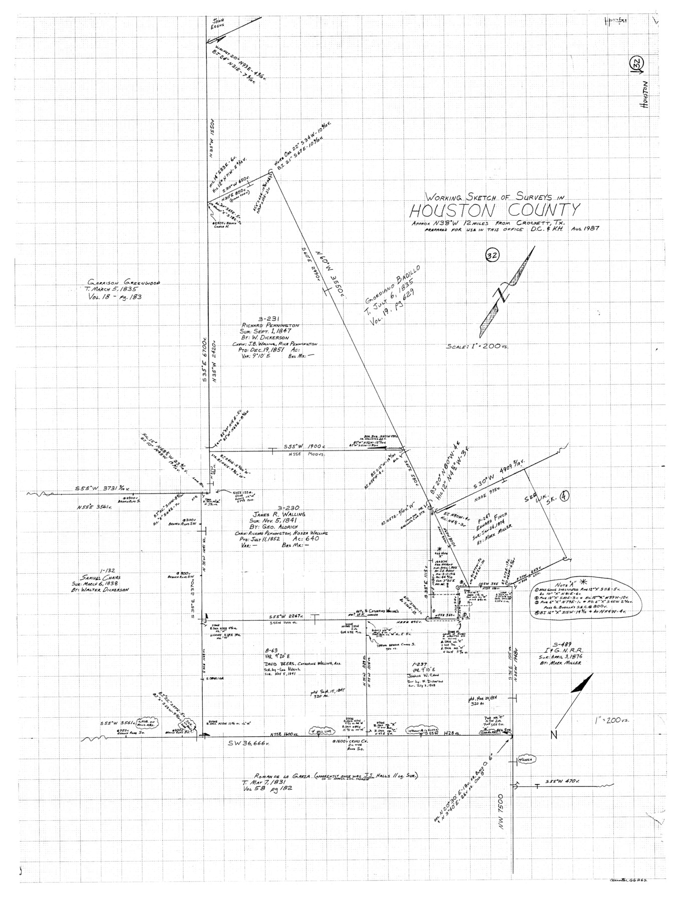
Houston County Working Sketch 32
-
Map/Doc
66262
-
Collection
General Map Collection
-
Object Dates
8/1987 (Creation Date)
-
Counties
Houston
-
Subjects
Surveying Working Sketch
-
Height x Width
43.9 x 33.0 inches
111.5 x 83.8 cm
-
Scale
1" = 200 varas
Part of: General Map Collection
Eastland County Working Sketch 47

Print $20.00
- Digital $50.00
Eastland County Working Sketch 47
1981
Size 30.0 x 27.1 inches
Map/Doc 68828
Childress County Rolled Sketch 1

Print $20.00
- Digital $50.00
Childress County Rolled Sketch 1
Size 31.2 x 26.5 inches
Map/Doc 5437
Guadalupe County Sketch File 25

Print $22.00
- Digital $50.00
Guadalupe County Sketch File 25
Size 12.7 x 15.7 inches
Map/Doc 24717
Atascosa County Rolled Sketch 13

Print $20.00
- Digital $50.00
Atascosa County Rolled Sketch 13
1944
Size 34.8 x 27.7 inches
Map/Doc 5095
Rockwall County

Print $20.00
- Digital $50.00
Rockwall County
1941
Size 28.5 x 23.9 inches
Map/Doc 63006
Runnels County Working Sketch 24

Print $20.00
- Digital $50.00
Runnels County Working Sketch 24
1952
Size 30.6 x 20.0 inches
Map/Doc 63620
Schleicher County Sketch File 11

Print $20.00
- Digital $50.00
Schleicher County Sketch File 11
1912
Size 21.5 x 30.5 inches
Map/Doc 12298
Starr County Sketch File 39

Print $20.00
- Digital $50.00
Starr County Sketch File 39
1940
Size 22.9 x 22.1 inches
Map/Doc 12339
Terrell County

Print $20.00
- Digital $50.00
Terrell County
1905
Size 41.2 x 31.3 inches
Map/Doc 63060
Upton County Working Sketch 59

Print $20.00
- Digital $50.00
Upton County Working Sketch 59
1987
Size 21.5 x 34.3 inches
Map/Doc 69556


You may also like
Flight Mission No. DQN-1K, Frame 115, Calhoun County

Print $20.00
- Digital $50.00
Flight Mission No. DQN-1K, Frame 115, Calhoun County
1953
Size 18.6 x 22.3 inches
Map/Doc 84181
Randall County Sketch File 2

Print $4.00
- Digital $50.00
Randall County Sketch File 2
1913
Size 7.3 x 8.8 inches
Map/Doc 34961
Cameron County Aerial Photograph Index Sheet 6

Print $20.00
- Digital $50.00
Cameron County Aerial Photograph Index Sheet 6
1940
Size 20.3 x 24.3 inches
Map/Doc 83682

Index sheet to accompany map of survey for connecting the inland waters along margin of the Gulf of Mexico from Donaldsonville in Louisiana to the Rio Grande River in Texas

Print $20.00
- Digital $50.00
Index sheet to accompany map of survey for connecting the inland waters along margin of the Gulf of Mexico from Donaldsonville in Louisiana to the Rio Grande River in Texas
Size 18.3 x 27.6 inches
Map/Doc 72689
[T. & N. O. RR. Co and H. & T. C. RR. Co. Blocks]
![90430, [T. & N. O. RR. Co and H. & T. C. RR. Co. Blocks], Twichell Survey Records](https://historictexasmaps.com/wmedia_w700/maps/90430-1.tif.jpg)
Print $2.00
- Digital $50.00
[T. & N. O. RR. Co and H. & T. C. RR. Co. Blocks]
1924
Size 8.3 x 8.2 inches
Map/Doc 90430
Duval County Rolled Sketch 48

Print $20.00
- Digital $50.00
Duval County Rolled Sketch 48
Size 21.8 x 18.5 inches
Map/Doc 5762
Map accompanying report of scout made by 2nd Lt. F. de I. Carrington. 1st Infantry

Print $20.00
- Digital $50.00
Map accompanying report of scout made by 2nd Lt. F. de I. Carrington. 1st Infantry
1881
Size 22.2 x 18.0 inches
Map/Doc 65407


Lee County Sketch File 4a

Print $4.00
- Digital $50.00
Lee County Sketch File 4a
1860
Size 12.9 x 8.2 inches
Map/Doc 29684
Blanco County

Print $40.00
- Digital $50.00
Blanco County
1916
Size 48.7 x 35.7 inches
Map/Doc 66715