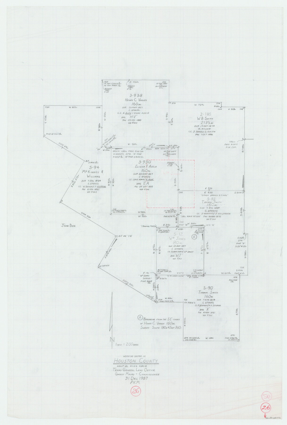
Houston County Working Sketch 26
-
Map/Doc
66256
-
Collection
General Map Collection
-
Object Dates
12/31/1987 (Creation Date)
-
Counties
Houston
-
Subjects
Surveying Working Sketch
-
Height x Width
30.1 x 20.4 inches
76.5 x 51.8 cm
-
Scale
1" = 200 varas
Part of: General Map Collection
San Patricio County Sketch File 55

Print $14.00
- Digital $50.00
San Patricio County Sketch File 55
1999
Size 11.3 x 8.8 inches
Map/Doc 36394
Coryell County Boundary File 1c

Print $6.00
- Digital $50.00
Coryell County Boundary File 1c
Size 10.2 x 8.1 inches
Map/Doc 51901
Kimble County Sketch File 34

Print $20.00
- Digital $50.00
Kimble County Sketch File 34
1963
Size 26.2 x 16.3 inches
Map/Doc 11931
Pecos County Working Sketch 66

Print $20.00
- Digital $50.00
Pecos County Working Sketch 66
1955
Size 25.8 x 21.2 inches
Map/Doc 71538
Presidio County Sketch File 60a

Print $4.00
- Digital $50.00
Presidio County Sketch File 60a
1936
Size 8.7 x 15.5 inches
Map/Doc 34643
Flight Mission No. CUG-3P, Frame 13, Kleberg County

Print $20.00
- Digital $50.00
Flight Mission No. CUG-3P, Frame 13, Kleberg County
1956
Size 18.6 x 22.1 inches
Map/Doc 86223
Map of the State of Texas

Print $40.00
- Digital $50.00
Map of the State of Texas
1879
Size 47.1 x 51.4 inches
Map/Doc 2133
Flight Mission No. CRE-3R, Frame 42, Jackson County

Print $20.00
- Digital $50.00
Flight Mission No. CRE-3R, Frame 42, Jackson County
1956
Size 18.6 x 22.4 inches
Map/Doc 85389
Presidio County Sketch File 62

Print $10.00
- Digital $50.00
Presidio County Sketch File 62
1938
Size 11.2 x 8.8 inches
Map/Doc 34647
Tyler County Sketch File 23

Print $20.00
- Digital $50.00
Tyler County Sketch File 23
Size 25.3 x 20.9 inches
Map/Doc 12500
Refugio County Rolled Sketch 4

Print $40.00
- Digital $50.00
Refugio County Rolled Sketch 4
1941
Size 55.7 x 46.4 inches
Map/Doc 9958
Flight Mission No. DQN-2K, Frame 135, Calhoun County

Print $20.00
- Digital $50.00
Flight Mission No. DQN-2K, Frame 135, Calhoun County
1953
Size 19.0 x 22.5 inches
Map/Doc 84304
You may also like
Kent County Rolled Sketch 3

Print $20.00
- Digital $50.00
Kent County Rolled Sketch 3
1950
Size 27.6 x 25.3 inches
Map/Doc 6474
[Section of] El Nuevo Mexico y Tierras Adyacentes Mapa Levantado para la demarcacion de los Limites de los Dominios Españoles y de los Estados Unidos

[Section of] El Nuevo Mexico y Tierras Adyacentes Mapa Levantado para la demarcacion de los Limites de los Dominios Españoles y de los Estados Unidos
1811
Size 17.9 x 26.7 inches
Map/Doc 97484
Runnels County Rolled Sketch 40

Print $20.00
- Digital $50.00
Runnels County Rolled Sketch 40
Size 33.5 x 40.9 inches
Map/Doc 7527
Angelina County Sketch File 18c

Print $4.00
- Digital $50.00
Angelina County Sketch File 18c
Size 12.8 x 8.3 inches
Map/Doc 13034
[Sketch showing Blocks 5, M-20, 22 and strip of Block BB]
![91723, [Sketch showing Blocks 5, M-20, 22 and strip of Block BB], Twichell Survey Records](https://historictexasmaps.com/wmedia_w700/maps/91723-1.tif.jpg)
Print $2.00
- Digital $50.00
[Sketch showing Blocks 5, M-20, 22 and strip of Block BB]
Size 7.1 x 10.4 inches
Map/Doc 91723
Pecos County Rolled Sketch DK4

Print $20.00
- Digital $50.00
Pecos County Rolled Sketch DK4
Size 41.2 x 30.2 inches
Map/Doc 7309
Flight Mission No. BRE-1P, Frame 115, Nueces County

Print $20.00
- Digital $50.00
Flight Mission No. BRE-1P, Frame 115, Nueces County
1956
Size 18.4 x 22.2 inches
Map/Doc 86681
Carte Geographique, Statistique et Historique du Mexique

Print $20.00
Carte Geographique, Statistique et Historique du Mexique
1824
Size 22.3 x 28.1 inches
Map/Doc 79315
Dallam County

Print $20.00
- Digital $50.00
Dallam County
1901
Size 42.3 x 52.4 inches
Map/Doc 16953
Dickens County Sketch File 25

Print $20.00
- Digital $50.00
Dickens County Sketch File 25
1914
Size 19.2 x 14.4 inches
Map/Doc 11326
Bandera County Rolled Sketch 1

Print $20.00
- Digital $50.00
Bandera County Rolled Sketch 1
1945
Size 16.5 x 16.0 inches
Map/Doc 5113
Flight Mission No. DIX-6P, Frame 126, Aransas County

Print $20.00
- Digital $50.00
Flight Mission No. DIX-6P, Frame 126, Aransas County
1956
Size 19.3 x 22.9 inches
Map/Doc 83832