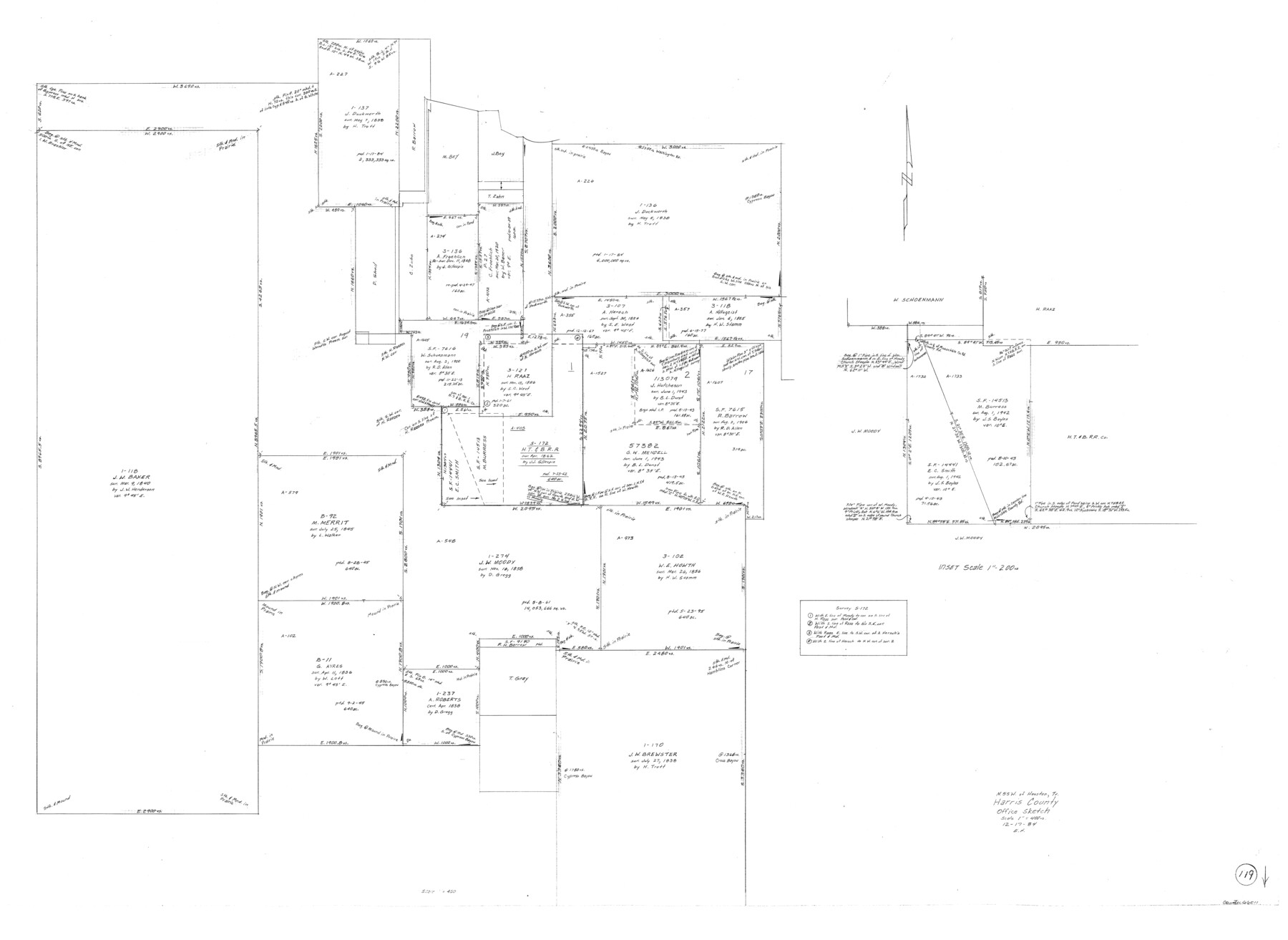
Harris County Working Sketch 119
-
Map/Doc
66011
-
Collection
General Map Collection
-
Object Dates
12/17/1984 (Creation Date)
-
Counties
Harris
-
Subjects
Surveying Working Sketch
-
Height x Width
30.8 x 42.2 inches
78.2 x 107.2 cm
-
Scale
1" = 400 varas
Part of: General Map Collection
Map of the Lands Surveyed by the Memphis, El Paso & Pacific R.R. Company

Print $20.00
- Digital $50.00
Map of the Lands Surveyed by the Memphis, El Paso & Pacific R.R. Company
1859
Size 11.4 x 18.6 inches
Map/Doc 4850
Foard County Rolled Sketch 14

Print $20.00
- Digital $50.00
Foard County Rolled Sketch 14
1923
Size 20.2 x 36.0 inches
Map/Doc 5888
Parker County Sketch File 36

Print $7.00
- Digital $50.00
Parker County Sketch File 36
Size 9.1 x 7.8 inches
Map/Doc 33578
Willacy County

Print $20.00
- Digital $50.00
Willacy County
1921
Size 25.3 x 32.5 inches
Map/Doc 95675
Colorado River, Glen Flora Sheet

Print $6.00
- Digital $50.00
Colorado River, Glen Flora Sheet
1941
Size 24.5 x 32.6 inches
Map/Doc 65310
Duval County Boundary File 3j

Print $12.00
- Digital $50.00
Duval County Boundary File 3j
Size 12.8 x 8.0 inches
Map/Doc 52753
La Salle County Working Sketch 11

Print $20.00
- Digital $50.00
La Salle County Working Sketch 11
1929
Size 29.3 x 20.7 inches
Map/Doc 70312
Montgomery County Rolled Sketch 22

Print $40.00
- Digital $50.00
Montgomery County Rolled Sketch 22
1934
Size 38.0 x 61.7 inches
Map/Doc 9532
Montgomery County Working Sketch 52

Print $20.00
- Digital $50.00
Montgomery County Working Sketch 52
1960
Size 37.8 x 43.3 inches
Map/Doc 71159
Dickens County Sketch File 19a

Print $23.00
- Digital $50.00
Dickens County Sketch File 19a
Size 9.6 x 7.8 inches
Map/Doc 21031
Shackelford County Sketch File 10

Print $20.00
- Digital $50.00
Shackelford County Sketch File 10
1918
Size 31.4 x 19.9 inches
Map/Doc 12316
Webb County Working Sketch 72

Print $20.00
- Digital $50.00
Webb County Working Sketch 72
1974
Size 22.1 x 38.2 inches
Map/Doc 72439
You may also like
Bastrop County Rolled Sketch 4

Print $40.00
- Digital $50.00
Bastrop County Rolled Sketch 4
1999
Size 130.2 x 30.8 inches
Map/Doc 8443
[Texas State Capitol Land Leagues and Surrounding Blocks]
![91055, [Texas State Capitol Land Leagues and Surrounding Blocks], Twichell Survey Records](https://historictexasmaps.com/wmedia_w700/maps/91055-1.tif.jpg)
Print $20.00
- Digital $50.00
[Texas State Capitol Land Leagues and Surrounding Blocks]
Size 30.2 x 33.6 inches
Map/Doc 91055
Gaines County Boundary File 3

Print $5.00
- Digital $50.00
Gaines County Boundary File 3
Size 13.9 x 9.1 inches
Map/Doc 53654
Webb County Rolled Sketch 76

Print $20.00
- Digital $50.00
Webb County Rolled Sketch 76
1959
Size 32.8 x 44.0 inches
Map/Doc 10133
Trinity County Sketch File 17

Print $4.00
- Digital $50.00
Trinity County Sketch File 17
Size 8.0 x 7.4 inches
Map/Doc 38546
Archer County Working Sketch 7

Print $20.00
- Digital $50.00
Archer County Working Sketch 7
1921
Size 32.6 x 24.9 inches
Map/Doc 67147
Presidio County Working Sketch 19

Print $20.00
- Digital $50.00
Presidio County Working Sketch 19
1943
Size 32.9 x 40.3 inches
Map/Doc 71695
[Block S Sections 20 and 24, Block I Sections 6 and 7]
![92851, [Block S Sections 20 and 24, Block I Sections 6 and 7], Twichell Survey Records](https://historictexasmaps.com/wmedia_w700/maps/92851-1.tif.jpg)
Print $20.00
- Digital $50.00
[Block S Sections 20 and 24, Block I Sections 6 and 7]
Size 22.8 x 19.0 inches
Map/Doc 92851
Jasper County Working Sketch 27

Print $20.00
- Digital $50.00
Jasper County Working Sketch 27
1954
Size 38.3 x 19.4 inches
Map/Doc 66489
Deaf Smith County Sketch File 5

Print $9.00
- Digital $50.00
Deaf Smith County Sketch File 5
1905
Size 11.3 x 8.9 inches
Map/Doc 20648
Stonewall County Sketch File 26

Print $20.00
- Digital $50.00
Stonewall County Sketch File 26
1953
Size 35.7 x 36.8 inches
Map/Doc 10376
Working Sketch in Hutchinson County

Print $2.00
- Digital $50.00
Working Sketch in Hutchinson County
1898
Size 8.7 x 15.4 inches
Map/Doc 92975