[Sketch for Mineral Application 35811 - Liberty County, John Mecom]
Working Sketch in Liberty County, TX
K-1-46
-
Map/Doc
65620
-
Collection
General Map Collection
-
Object Dates
1941 (Creation Date)
-
Counties
Liberty
-
Subjects
Energy Surface
-
Height x Width
24.8 x 19.7 inches
63.0 x 50.0 cm
Part of: General Map Collection
[Gulf Coast portion of] Map of the State of Texas
![72706, [Gulf Coast portion of] Map of the State of Texas, General Map Collection](https://historictexasmaps.com/wmedia_w700/maps/72706.tif.jpg)
![72706, [Gulf Coast portion of] Map of the State of Texas, General Map Collection](https://historictexasmaps.com/wmedia_w700/maps/72706.tif.jpg)
Print $20.00
- Digital $50.00
[Gulf Coast portion of] Map of the State of Texas
1865
Size 27.2 x 18.2 inches
Map/Doc 72706
Coryell County Sketch File 12
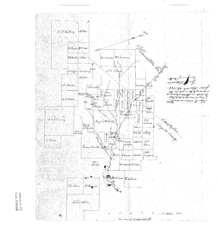

Print $20.00
- Digital $50.00
Coryell County Sketch File 12
1863
Size 21.7 x 19.3 inches
Map/Doc 11181
Dickens County Sketch File GW2
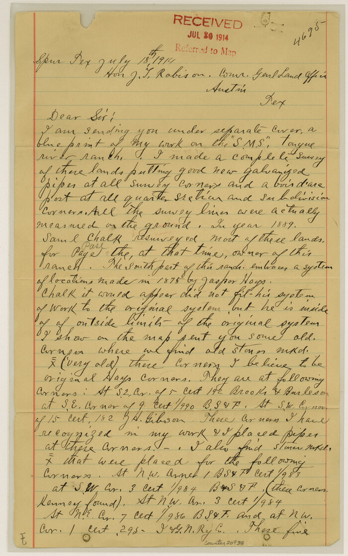

Print $8.00
- Digital $50.00
Dickens County Sketch File GW2
Size 14.4 x 9.0 inches
Map/Doc 20938
Flight Mission No. CGN-3P, Frame 23, San Patricio County


Print $20.00
- Digital $50.00
Flight Mission No. CGN-3P, Frame 23, San Patricio County
1956
Size 18.6 x 22.2 inches
Map/Doc 86981
Clay County Working Sketch 1
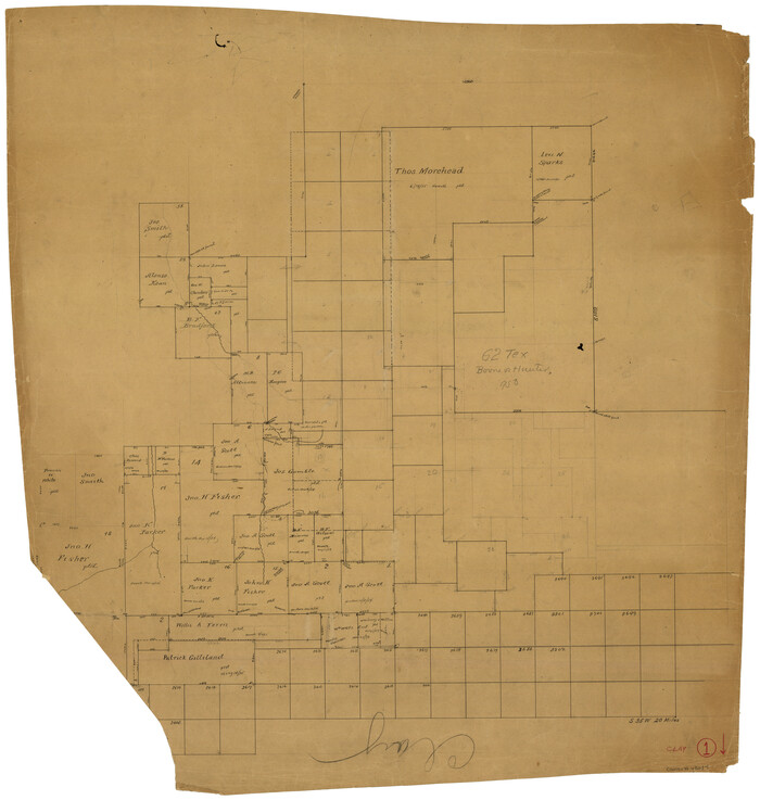

Print $20.00
- Digital $50.00
Clay County Working Sketch 1
Size 30.7 x 29.3 inches
Map/Doc 68024
Dimmit County Working Sketch 28
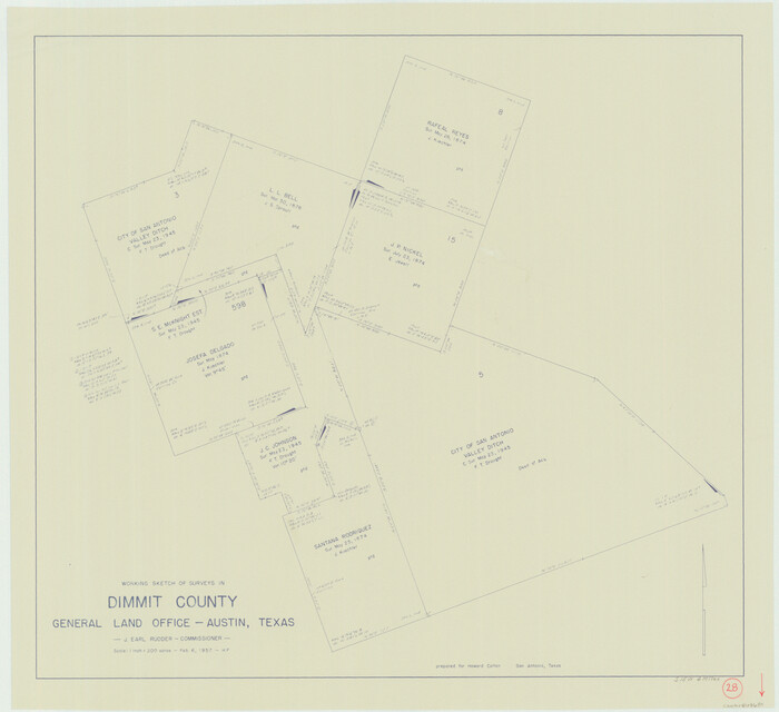

Print $20.00
- Digital $50.00
Dimmit County Working Sketch 28
1957
Size 25.5 x 27.9 inches
Map/Doc 68689
Lipscomb County Working Sketch Graphic Index
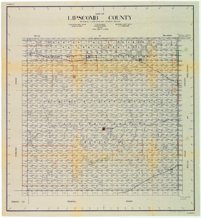

Print $20.00
- Digital $50.00
Lipscomb County Working Sketch Graphic Index
1899
Size 41.4 x 38.4 inches
Map/Doc 76622
Brewster County Working Sketch 71a


Print $40.00
- Digital $50.00
Brewster County Working Sketch 71a
1962
Size 43.5 x 56.0 inches
Map/Doc 67869
Edwards County Rolled Sketch 28
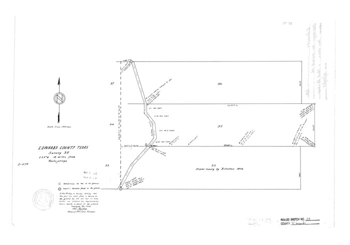

Print $20.00
- Digital $50.00
Edwards County Rolled Sketch 28
1950
Size 18.9 x 27.0 inches
Map/Doc 5814
Sutton County Rolled Sketch 58
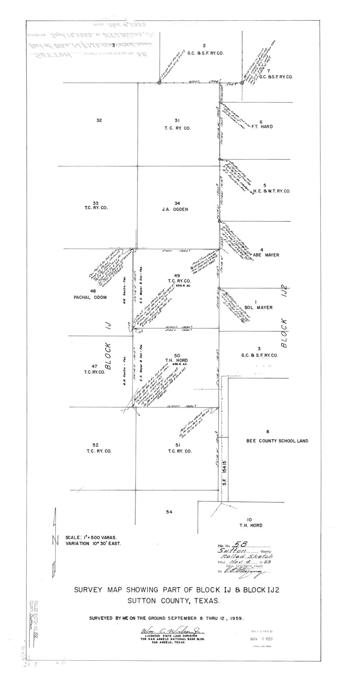

Print $20.00
- Digital $50.00
Sutton County Rolled Sketch 58
Size 31.2 x 15.9 inches
Map/Doc 7896
Ward County Working Sketch 34
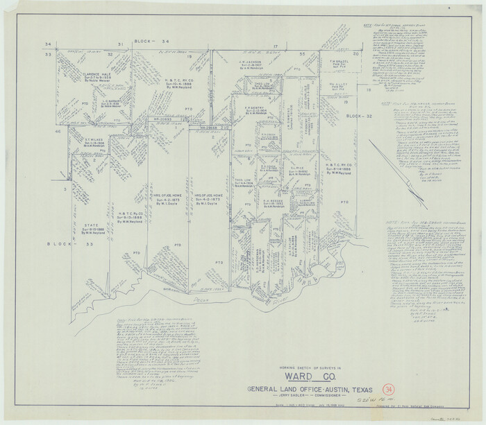

Print $20.00
- Digital $50.00
Ward County Working Sketch 34
1968
Size 26.7 x 30.5 inches
Map/Doc 72340
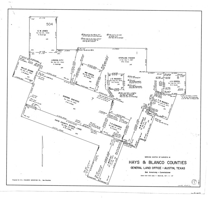
Hays County Working Sketch 17

Print $20.00
- Digital $50.00
Hays County Working Sketch 17
1971
Size 28.6 x 30.0 inches
Map/Doc 66091
You may also like
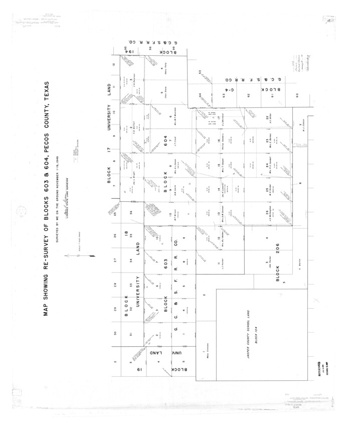
Pecos County Rolled Sketch 128

Print $40.00
- Digital $50.00
Pecos County Rolled Sketch 128
1949
Size 43.6 x 54.0 inches
Map/Doc 9725
[Block 1 and surrounding blocks]
![90755, [Block 1 and surrounding blocks], Twichell Survey Records](https://historictexasmaps.com/wmedia_w700/maps/90755-1.tif.jpg)
![90755, [Block 1 and surrounding blocks], Twichell Survey Records](https://historictexasmaps.com/wmedia_w700/maps/90755-1.tif.jpg)
Print $20.00
- Digital $50.00
[Block 1 and surrounding blocks]
1903
Size 18.8 x 19.8 inches
Map/Doc 90755
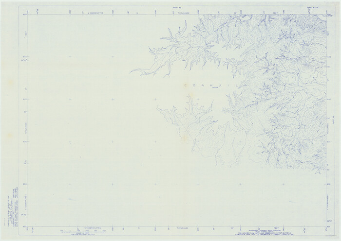
Amistad International Reservoir on Rio Grande 83

Print $20.00
- Digital $50.00
Amistad International Reservoir on Rio Grande 83
1949
Size 28.5 x 40.3 inches
Map/Doc 75512
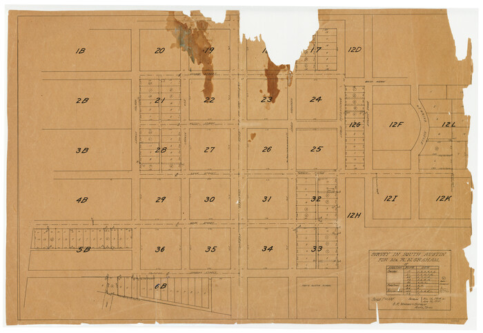
Survey in South Austin for Mr. R.N. Graham

Print $20.00
- Digital $50.00
Survey in South Austin for Mr. R.N. Graham
Map/Doc 93795
Live Oak County Rolled Sketch 4
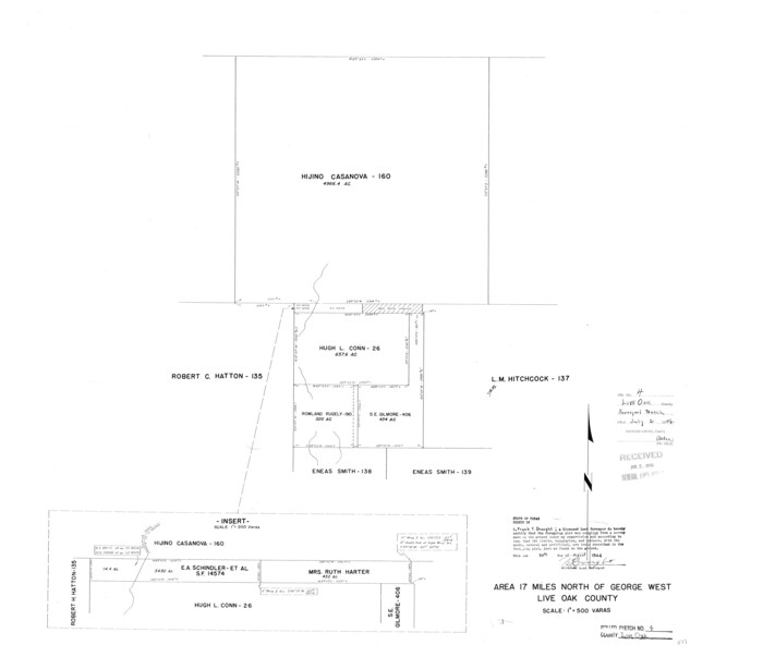

Print $20.00
- Digital $50.00
Live Oak County Rolled Sketch 4
1946
Size 27.7 x 32.1 inches
Map/Doc 6633
Titus County Sketch File 3
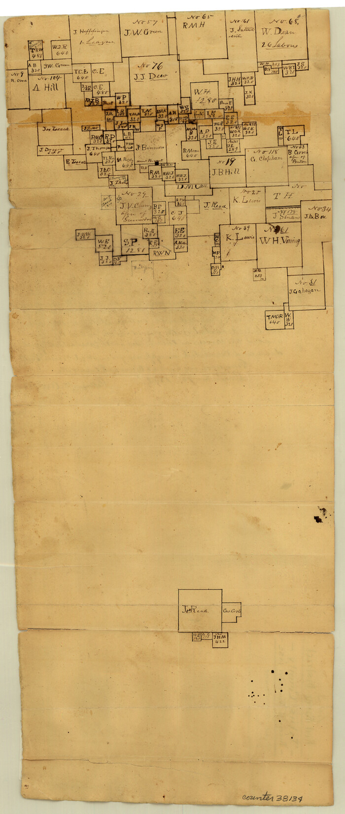

Print $40.00
- Digital $50.00
Titus County Sketch File 3
1852
Size 19.9 x 8.4 inches
Map/Doc 38134
Palo Pinto County Working Sketch 12
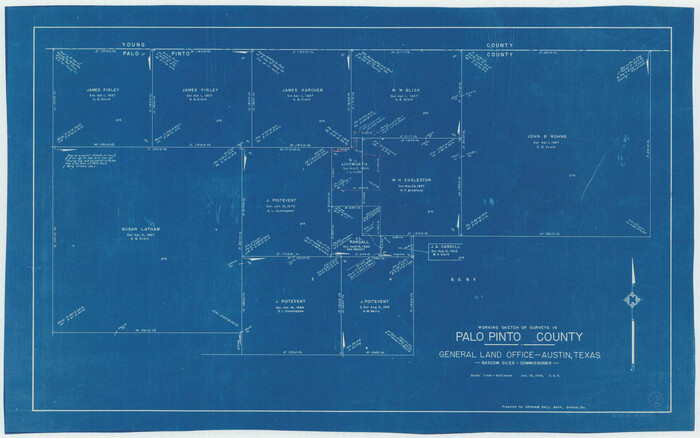

Print $20.00
- Digital $50.00
Palo Pinto County Working Sketch 12
1946
Size 21.1 x 33.7 inches
Map/Doc 71395
Marion County Rolled Sketch 9A
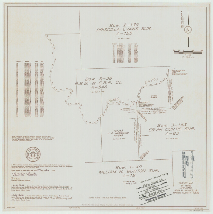

Print $20.00
- Digital $50.00
Marion County Rolled Sketch 9A
2001
Size 22.9 x 22.9 inches
Map/Doc 76419
Hunt County Sketch File 8


Print $4.00
- Digital $50.00
Hunt County Sketch File 8
1848
Size 8.2 x 12.7 inches
Map/Doc 27097
Smith County Working Sketch 7


Print $20.00
- Digital $50.00
Smith County Working Sketch 7
1941
Size 27.2 x 20.8 inches
Map/Doc 63892
Foard County Working Sketch 6


Print $20.00
- Digital $50.00
Foard County Working Sketch 6
1944
Size 43.4 x 31.4 inches
Map/Doc 69197
Dickens County Rolled Sketch 13


Print $40.00
- Digital $50.00
Dickens County Rolled Sketch 13
1950
Size 43.4 x 53.7 inches
Map/Doc 45135
![65620, [Sketch for Mineral Application 35811 - Liberty County, John Mecom], General Map Collection](https://historictexasmaps.com/wmedia_w1800h1800/maps/65620.tif.jpg)