Jefferson County Rolled Sketch 61D
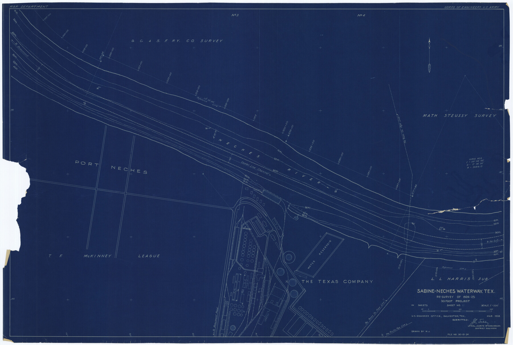
Sabine-Neches Waterway, Tex. re-survey of 1924-25, 30 foot project - Sheet no. 27
-
Map/Doc
6413
-
Collection
General Map Collection
-
Object Dates
1928
-
People and Organizations
U.S. Army Corps of Engineers (Publisher)
-
Counties
Jefferson
-
Subjects
Surveying Rolled Sketch
-
Height x Width
27.2 x 40.5 inches
69.1 x 102.9 cm
-
Medium
blueprint/diazo
-
Scale
1" = 200 feet
Part of: General Map Collection
[Texas & Pacific Railway through Callahan County]
![64234, [Texas & Pacific Railway through Callahan County], General Map Collection](https://historictexasmaps.com/wmedia_w700/maps/64234.tif.jpg)
Print $20.00
- Digital $50.00
[Texas & Pacific Railway through Callahan County]
1918
Size 21.3 x 8.8 inches
Map/Doc 64234
Polk County Sketch File 30a

Print $8.00
- Digital $50.00
Polk County Sketch File 30a
Size 14.2 x 8.8 inches
Map/Doc 34215
Brewster County Rolled Sketch RSH

Print $20.00
- Digital $50.00
Brewster County Rolled Sketch RSH
Size 31.9 x 28.3 inches
Map/Doc 5324
Gaines County Working Sketch 10

Print $40.00
- Digital $50.00
Gaines County Working Sketch 10
1953
Size 53.0 x 38.0 inches
Map/Doc 69310
Culberson County Working Sketch 9

Print $20.00
- Digital $50.00
Culberson County Working Sketch 9
1915
Size 41.5 x 35.9 inches
Map/Doc 68461
Parker County Sketch File 37

Print $4.00
- Digital $50.00
Parker County Sketch File 37
Size 4.8 x 8.1 inches
Map/Doc 33581
Aransas County Sketch File 21a

Print $4.00
- Digital $50.00
Aransas County Sketch File 21a
Size 14.2 x 8.7 inches
Map/Doc 13158
Flight Mission No. DIX-5P, Frame 103, Aransas County

Print $20.00
- Digital $50.00
Flight Mission No. DIX-5P, Frame 103, Aransas County
1956
Size 17.5 x 18.2 inches
Map/Doc 83781
Coleman County Working Sketch 12

Print $20.00
- Digital $50.00
Coleman County Working Sketch 12
1951
Size 25.7 x 26.2 inches
Map/Doc 68078
Baylor County Sketch File A8

Print $4.00
- Digital $50.00
Baylor County Sketch File A8
1899
Size 14.1 x 8.7 inches
Map/Doc 14094
Foard County Sketch File 36

Print $20.00
- Digital $50.00
Foard County Sketch File 36
Size 15.4 x 28.0 inches
Map/Doc 11498
Bastrop County Boundary File 5

Print $18.00
- Digital $50.00
Bastrop County Boundary File 5
Size 9.1 x 7.2 inches
Map/Doc 50328
You may also like
Dallam County Sketch File 9

Print $40.00
- Digital $50.00
Dallam County Sketch File 9
1914
Size 9.0 x 7.7 inches
Map/Doc 20357
Wichita County Working Sketch 8

Print $20.00
- Digital $50.00
Wichita County Working Sketch 8
1919
Size 18.3 x 37.7 inches
Map/Doc 72517
Wise County Sketch File 33

Print $22.00
- Digital $50.00
Wise County Sketch File 33
Size 13.7 x 18.1 inches
Map/Doc 40590
Starr County Boundary File 2

Print $8.00
- Digital $50.00
Starr County Boundary File 2
Size 11.0 x 7.4 inches
Map/Doc 58814
Loving County Working Sketch 24

Print $40.00
- Digital $50.00
Loving County Working Sketch 24
1952
Size 15.8 x 63.3 inches
Map/Doc 70658
G No. 3 - Reconnaissance of the Bar and Channel of St. Marks On the Western Coast of Florida

Print $20.00
- Digital $50.00
G No. 3 - Reconnaissance of the Bar and Channel of St. Marks On the Western Coast of Florida
1852
Size 18.6 x 14.5 inches
Map/Doc 97221
[Emile Snow Lands and vicinity]
![91147, [Emile Snow Lands and vicinity], Twichell Survey Records](https://historictexasmaps.com/wmedia_w700/maps/91147-1.tif.jpg)
Print $20.00
- Digital $50.00
[Emile Snow Lands and vicinity]
Size 10.7 x 18.9 inches
Map/Doc 91147
Bosque County Sketch File 34

Print $20.00
- Digital $50.00
Bosque County Sketch File 34
1856
Size 25.2 x 18.7 inches
Map/Doc 78486
Revised map of Jefferson County, Texas showing land surveys, railroads and water ways

Print $20.00
- Digital $50.00
Revised map of Jefferson County, Texas showing land surveys, railroads and water ways
1898
Size 27.2 x 24.1 inches
Map/Doc 95912

Culberson County Rolled Sketch 66

Print $20.00
- Digital $50.00
Culberson County Rolled Sketch 66
1987
Size 24.4 x 19.7 inches
Map/Doc 5682
Wharton County Sketch File 19

Print $6.00
- Digital $50.00
Wharton County Sketch File 19
Size 13.2 x 8.1 inches
Map/Doc 39978