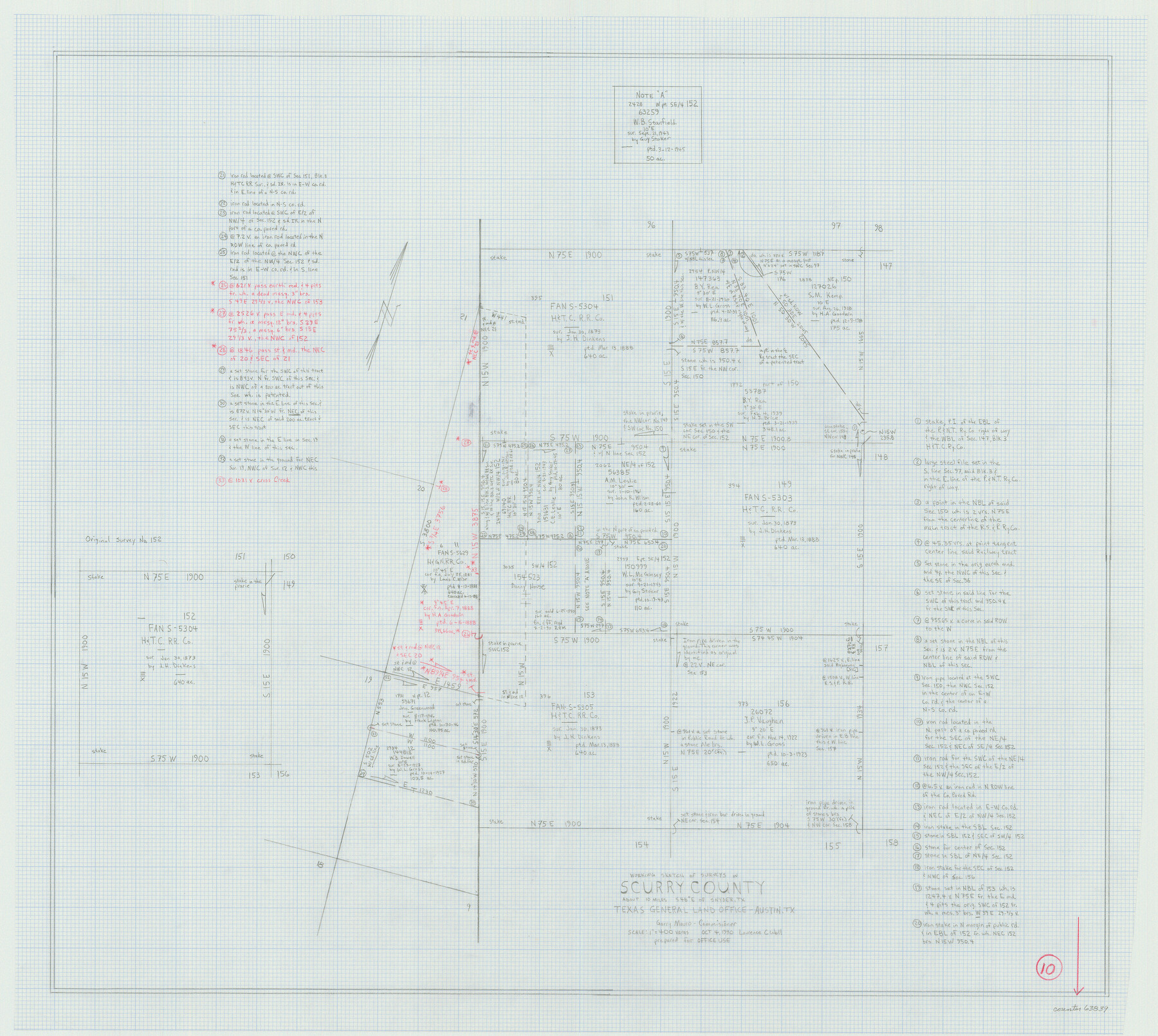
Scurry County Working Sketch 10
- 
                          Map/Doc
63839
 - 
                            Collection
General Map Collection
 - 
                            Object Dates
10/4/1990 (Creation Date)
 - 
                            People and Organizations
Laurence C. Wall (Draftsman)
 - 
                            Counties
Scurry
 - 
                            Subjects
Surveying Working Sketch
 - 
                            Height x Width
25.7 x 28.7 inches
65.3 x 72.9 cm
 - 
                            Scale
1" = 400 varas
 
Part of: General Map Collection
            Orange County Rolled Sketch 26


                                            Print $20.00                    
                                             -                         Digital $50.00                                    
                Orange County Rolled Sketch 26
1952
Size 35.2 x 43.0 inches
                                Map/Doc 9649
            
            Wichita County Rolled Sketch 16


                                            Print $20.00                    
                                             -                         Digital $50.00                                    
                Wichita County Rolled Sketch 16
1940
Size 36.5 x 35.0 inches
                                Map/Doc 10658
            
            Bailey County Sketch File 6


                                            Print $40.00                    
                                             -                         Digital $50.00                                    
                Bailey County Sketch File 6
Size 26.5 x 31.9 inches
                                Map/Doc 10884
            
            Presidio County Working Sketch 144


                                            Print $20.00                    
                                             -                         Digital $50.00                                    
                Presidio County Working Sketch 144
1990
Size 20.4 x 26.6 inches
                                Map/Doc 71822
            
            Maps of Gulf Intracoastal Waterway, Texas - Sabine River to the Rio Grande and connecting waterways including ship channels


                                            Print $20.00                    
                                             -                         Digital $50.00                                    
                Maps of Gulf Intracoastal Waterway, Texas - Sabine River to the Rio Grande and connecting waterways including ship channels
1966
Size 15.7 x 22.0 inches
                                Map/Doc 61987
            
            Map of University Land part of Fifty League Grant Act of 1839


                                            Print $20.00                    
                                             -                         Digital $50.00                                    
                Map of University Land part of Fifty League Grant Act of 1839
1905
Size 40.7 x 28.7 inches
                                Map/Doc 2430
            
            Montgomery County Sketch File 40


                                            Print $8.00                    
                                             -                         Digital $50.00                                    
                Montgomery County Sketch File 40
1914
Size 11.3 x 8.8 inches
                                Map/Doc 31925
            
            Dickens County Boundary File 3


                                            Print $28.00                    
                                             -                         Digital $50.00                                    
                Dickens County Boundary File 3
Size 14.1 x 8.8 inches
                                Map/Doc 52541
            
            Erath County Working Sketch 7


                                            Print $20.00                    
                                             -                         Digital $50.00                                    
                Erath County Working Sketch 7
1921
Size 15.8 x 16.1 inches
                                Map/Doc 69088
            
            Brazoria County Sketch File 39


                                            Print $8.00                    
                                             -                         Digital $50.00                                    
                Brazoria County Sketch File 39
1933
Size 11.3 x 8.8 inches
                                Map/Doc 15045
            
            Williamson County Boundary File 3


                                            Print $20.00                    
                                             -                         Digital $50.00                                    
                Williamson County Boundary File 3
Size 18.5 x 23.6 inches
                                Map/Doc 60012
            
            Collin County Working Sketch Graphic Index


                                            Print $20.00                    
                                             -                         Digital $50.00                                    
                Collin County Working Sketch Graphic Index
1975
Size 41.4 x 39.0 inches
                                Map/Doc 76498
            You may also like
            Colorado River, Bull Creek Sheet[/Champion 125 Acre Tract]


                                            Print $6.00                    
                                             -                         Digital $50.00                                    
                Colorado River, Bull Creek Sheet[/Champion 125 Acre Tract]
1934
Size 19.3 x 32.0 inches
                                Map/Doc 65323
            
            Matagorda County NRC Article 33.136 Sketch 18


                                            Print $24.00                    
                                    
                Matagorda County NRC Article 33.136 Sketch 18
2023
Map/Doc 97283
            
            Uvalde County Sketch File 3


                                            Print $4.00                    
                                             -                         Digital $50.00                                    
                Uvalde County Sketch File 3
1880
Size 9.1 x 15.0 inches
                                Map/Doc 38949
            
            Fractional Township No. 8 South Range No. 7 East of the Indian Meridian, Indian Territory


                                            Print $20.00                    
                                             -                         Digital $50.00                                    
                Fractional Township No. 8 South Range No. 7 East of the Indian Meridian, Indian Territory
1898
Size 19.2 x 24.3 inches
                                Map/Doc 75213
            
            Edwards County Working Sketch Graphic Index - east part - sheet 2


                                            Print $40.00                    
                                             -                         Digital $50.00                                    
                Edwards County Working Sketch Graphic Index - east part - sheet 2
1975
Size 54.7 x 39.8 inches
                                Map/Doc 76534
            
            [Sketch showing I. & G. N. Block 8]


                                            Print $2.00                    
                                             -                         Digital $50.00                                    
                [Sketch showing I. & G. N. Block 8]
1919
Size 5.0 x 8.7 inches
                                Map/Doc 91703
            
            Texas, Brazos River, Freeport


                                            Print $40.00                    
                                             -                         Digital $50.00                                    
                Texas, Brazos River, Freeport
1933
Size 28.4 x 48.3 inches
                                Map/Doc 69994
            
            Mason County Working Sketch Graphic Index


                                            Print $20.00                    
                                             -                         Digital $50.00                                    
                Mason County Working Sketch Graphic Index
1980
Size 46.4 x 35.7 inches
                                Map/Doc 76632
            
            PSL Field Notes for Block A19 in Andrews County, C45 in Andrews and Gaines Counties, C31 in Dawson and Gaines Counties, C34 in Terry and Gaines Counties, C35 in Yoakum and Gaines Counties, and Blocks C30, C32, C33, C43, and C44 in Gaines County


            PSL Field Notes for Block A19 in Andrews County, C45 in Andrews and Gaines Counties, C31 in Dawson and Gaines Counties, C34 in Terry and Gaines Counties, C35 in Yoakum and Gaines Counties, and Blocks C30, C32, C33, C43, and C44 in Gaines County
Map/Doc 81643
            
            Zapata County Sketch File 13


                                            Print $4.00                    
                                             -                         Digital $50.00                                    
                Zapata County Sketch File 13
1930
Size 11.3 x 8.8 inches
                                Map/Doc 40952
            
            Flight Mission No. DIX-5P, Frame 102, Aransas County


                                            Print $20.00                    
                                             -                         Digital $50.00                                    
                Flight Mission No. DIX-5P, Frame 102, Aransas County
1956
Size 17.7 x 18.0 inches
                                Map/Doc 83780
            
            Parker County Sketch File 36


                                            Print $7.00                    
                                             -                         Digital $50.00                                    
                Parker County Sketch File 36
Size 9.1 x 7.8 inches
                                Map/Doc 33578