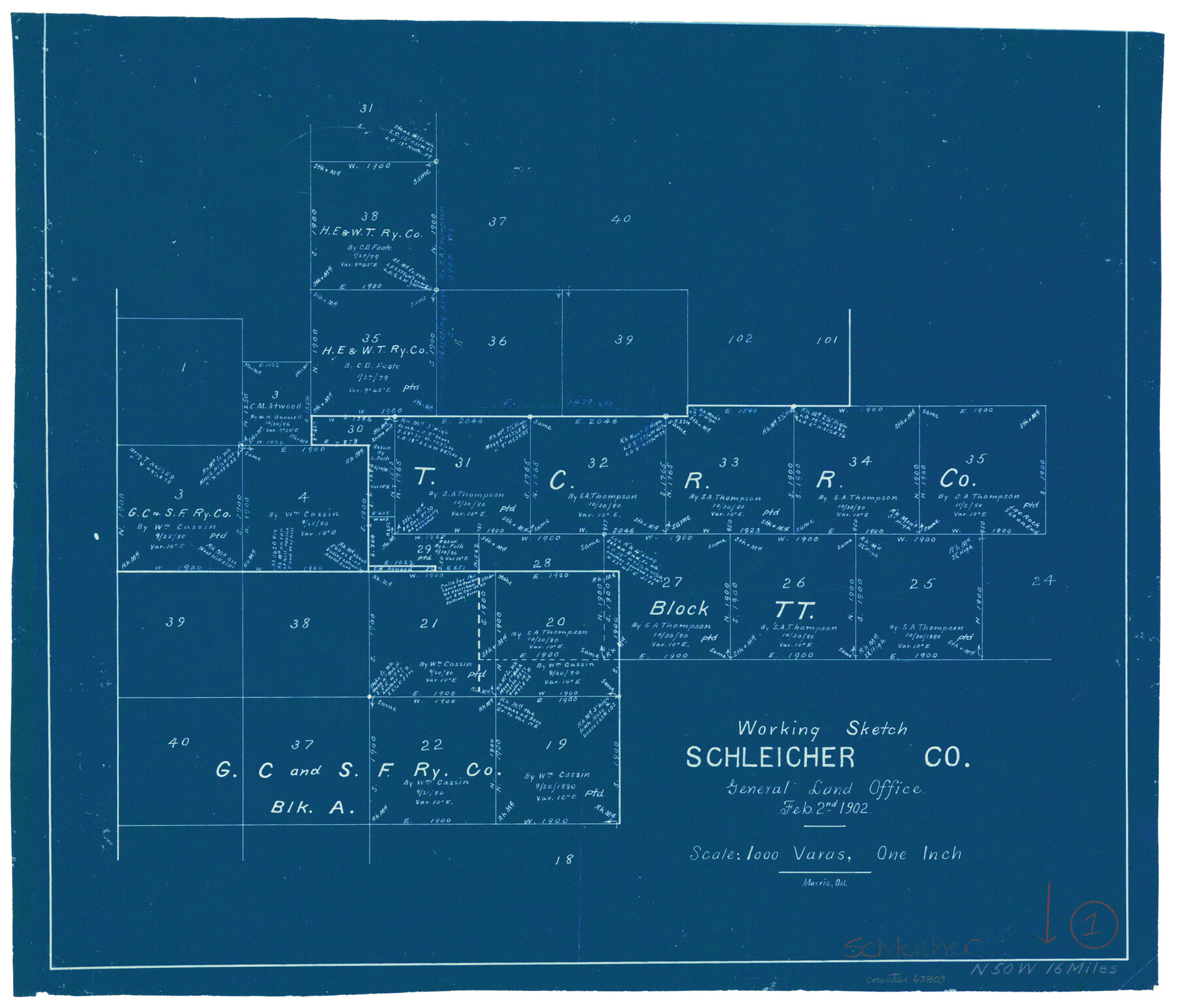
Schleicher County Working Sketch 1
-
Map/Doc
63803
-
Collection
General Map Collection
-
Object Dates
2/2/1902 (Creation Date)
-
People and Organizations
G.C. Morriss (Draftsman)
-
Counties
Schleicher
-
Subjects
Surveying Working Sketch
-
Height x Width
14.8 x 17.4 inches
37.6 x 44.2 cm
-
Scale
1" = 1000 varas
Part of: General Map Collection
Mitchell County Sketch File 5

Print $20.00
- Digital $50.00
Mitchell County Sketch File 5
1906
Size 17.5 x 22.2 inches
Map/Doc 12095
Eastland County Working Sketch 43

Print $20.00
- Digital $50.00
Eastland County Working Sketch 43
1979
Size 19.7 x 31.0 inches
Map/Doc 68824
Denton County Working Sketch 7

Print $20.00
- Digital $50.00
Denton County Working Sketch 7
1958
Size 26.0 x 28.8 inches
Map/Doc 68612
Motley County Working Sketch 10

Print $20.00
- Digital $50.00
Motley County Working Sketch 10
1984
Size 33.1 x 29.0 inches
Map/Doc 71215
Harris County Rolled Sketch 88

Print $20.00
- Digital $50.00
Harris County Rolled Sketch 88
1936
Size 35.0 x 22.8 inches
Map/Doc 6125
[T. & N. O. R.R. Jefferson Co. North]
![64055, [T. & N. O. R.R. Jefferson Co. North], General Map Collection](https://historictexasmaps.com/wmedia_w700/maps/64055.tif.jpg)
Print $20.00
- Digital $50.00
[T. & N. O. R.R. Jefferson Co. North]
Size 13.4 x 33.4 inches
Map/Doc 64055
Map of Dickens County

Print $20.00
- Digital $50.00
Map of Dickens County
1899
Size 41.1 x 37.7 inches
Map/Doc 4933

Jim Hogg County Rolled Sketch 5

Print $20.00
- Digital $50.00
Jim Hogg County Rolled Sketch 5
1943
Size 19.9 x 24.1 inches
Map/Doc 6441
Henderson County Rolled Sketch 8

Print $40.00
- Digital $50.00
Henderson County Rolled Sketch 8
1963
Size 37.3 x 50.9 inches
Map/Doc 9164
Lamb County Sketch File 17

Print $20.00
- Digital $50.00
Lamb County Sketch File 17
1940
Size 25.4 x 12.3 inches
Map/Doc 11973
Guadalupe County

Print $20.00
- Digital $50.00
Guadalupe County
1872
Size 24.6 x 23.7 inches
Map/Doc 3610
You may also like
Orange County Working Sketch 53

Print $20.00
- Digital $50.00
Orange County Working Sketch 53
2007
Size 34.1 x 46.0 inches
Map/Doc 87371
Webb County Rolled Sketch 2

Print $20.00
- Digital $50.00
Webb County Rolled Sketch 2
1881
Size 19.4 x 27.6 inches
Map/Doc 8169
La Salle County Sketch File 10

Print $4.00
- Digital $50.00
La Salle County Sketch File 10
1877
Size 9.0 x 7.0 inches
Map/Doc 42997
[Leagues 67, 69, 70, 71, 72, 73, 75, 76, 719, 732, 733, 734, 735, 27, 28]
![90458, [Leagues 67, 69, 70, 71, 72, 73, 75, 76, 719, 732, 733, 734, 735, 27, 28], Twichell Survey Records](https://historictexasmaps.com/wmedia_w700/maps/90458-1.tif.jpg)
Print $20.00
- Digital $50.00
[Leagues 67, 69, 70, 71, 72, 73, 75, 76, 719, 732, 733, 734, 735, 27, 28]
Size 20.5 x 15.3 inches
Map/Doc 90458
Slaughter Addition, Morton, Texas

Print $3.00
- Digital $50.00
Slaughter Addition, Morton, Texas
1951
Size 16.6 x 11.8 inches
Map/Doc 92541
Richardson's New Map of the State of Texas Including Part of Mexico Compiled From Government Surveys and Other Authentic Documents

Print $20.00
- Digital $50.00
Richardson's New Map of the State of Texas Including Part of Mexico Compiled From Government Surveys and Other Authentic Documents
1860
Size 28.5 x 36.3 inches
Map/Doc 96788
Concho County Rolled Sketch 4

Print $20.00
- Digital $50.00
Concho County Rolled Sketch 4
1948
Size 47.3 x 43.6 inches
Map/Doc 8649
Beales and Royuela Empresario Colony. March 14, 1832

Print $20.00
Beales and Royuela Empresario Colony. March 14, 1832
2020
Size 19.4 x 21.6 inches
Map/Doc 95984
Houston including Bellaire, Bunker Hill, Galena Park, Hedwig, Hilshire, Hunters Creek, Jacinto City, Jersey Village, Missouri City, Pasadena, Piney Point, South Houston, Spring Valley, West University Place and adjoining communities [Verso]
![94180, Houston including Bellaire, Bunker Hill, Galena Park, Hedwig, Hilshire, Hunters Creek, Jacinto City, Jersey Village, Missouri City, Pasadena, Piney Point, South Houston, Spring Valley, West University Place and adjoining communities [Verso], General Map Collection](https://historictexasmaps.com/wmedia_w700/maps/94180.tif.jpg)
Houston including Bellaire, Bunker Hill, Galena Park, Hedwig, Hilshire, Hunters Creek, Jacinto City, Jersey Village, Missouri City, Pasadena, Piney Point, South Houston, Spring Valley, West University Place and adjoining communities [Verso]
Size 27.1 x 42.4 inches
Map/Doc 94180
Hardeman County Sketch File 9

Print $20.00
- Digital $50.00
Hardeman County Sketch File 9
1884
Size 27.7 x 30.1 inches
Map/Doc 11624
Missouri, Kansas & Texas Railway in Morris County

Print $20.00
- Digital $50.00
Missouri, Kansas & Texas Railway in Morris County
1906
Size 14.9 x 36.2 inches
Map/Doc 64274
Tom Green County Sketch File 41

Print $8.00
- Digital $50.00
Tom Green County Sketch File 41
1884
Size 12.8 x 8.3 inches
Map/Doc 38196