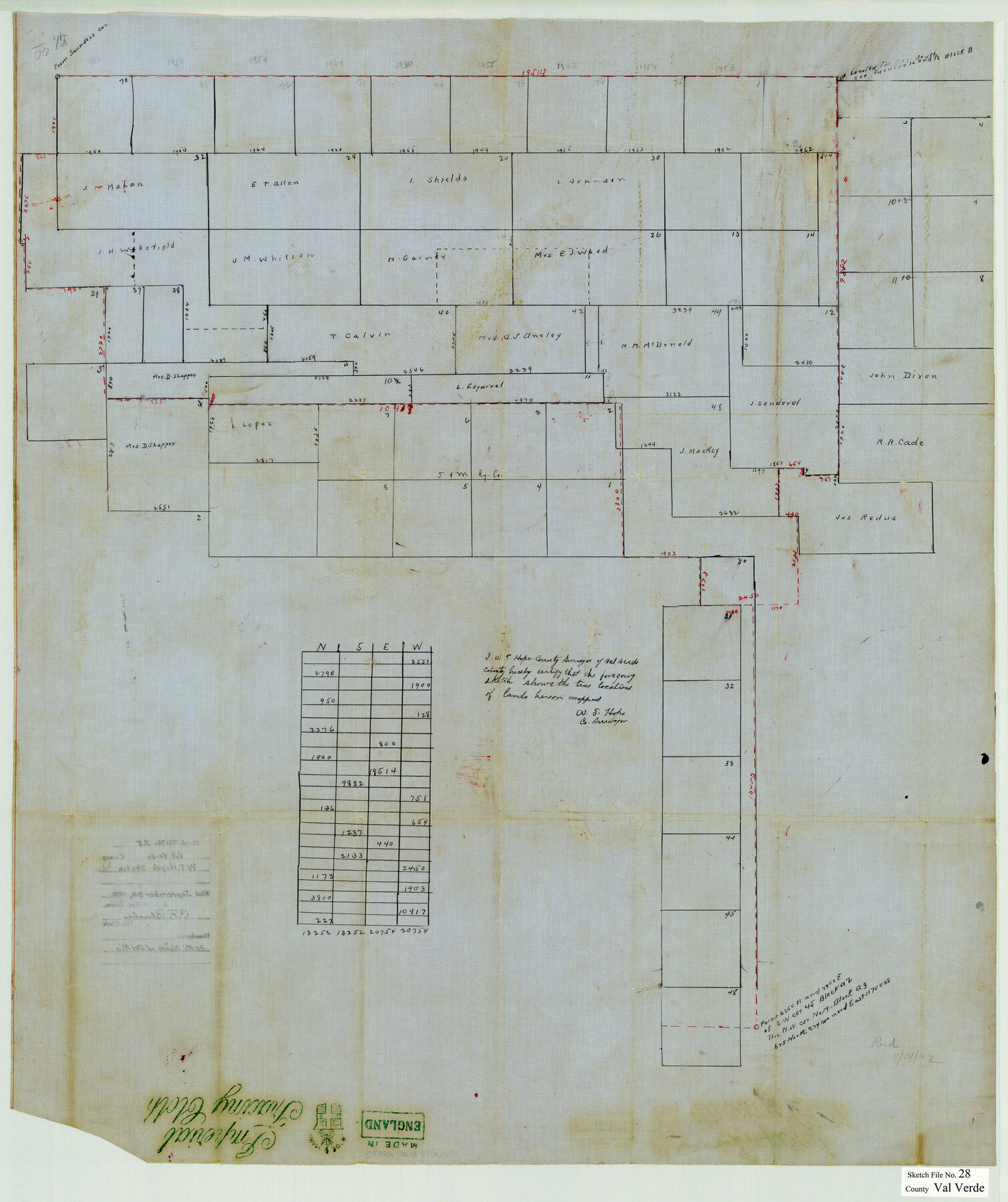
Val Verde County Sketch File 28
[Sketch of surveys northeast from Del Rio near the eastern boundary of the county]
-
Map/Doc
12573
-
Collection
General Map Collection
-
Object Dates
9/9/1932 (File Date)
-
People and Organizations
W.T. Hope (Surveyor/Engineer)
-
Counties
Val Verde
-
Subjects
Surveying Sketch File
-
Height x Width
29.9 x 25.1 inches
76.0 x 63.8 cm
-
Medium
paper, manuscript
Part of: General Map Collection
Flight Mission No. DQN-2K, Frame 196, Calhoun County

Print $20.00
- Digital $50.00
Flight Mission No. DQN-2K, Frame 196, Calhoun County
1953
Size 16.3 x 16.1 inches
Map/Doc 84335
Wilbarger County Rolled Sketch 9

Print $20.00
- Digital $50.00
Wilbarger County Rolled Sketch 9
Size 23.8 x 28.1 inches
Map/Doc 8258
McCulloch County Sketch File 10

Print $8.00
- Digital $50.00
McCulloch County Sketch File 10
1920
Size 11.1 x 8.7 inches
Map/Doc 31187
Austin County Working Sketch Graphic Index

Print $20.00
- Digital $50.00
Austin County Working Sketch Graphic Index
1943
Size 38.6 x 41.1 inches
Map/Doc 76459
Texas Panhandle East Boundary Line

Print $20.00
- Digital $50.00
Texas Panhandle East Boundary Line
1898
Size 11.6 x 35.5 inches
Map/Doc 1741
Baylor County Boundary File 17

Print $20.00
- Digital $50.00
Baylor County Boundary File 17
Size 20.0 x 7.7 inches
Map/Doc 50434
Map of Kendall County

Print $20.00
- Digital $50.00
Map of Kendall County
1899
Size 37.9 x 33.9 inches
Map/Doc 4678

Tyler County Sketch File 3a

Print $4.00
- Digital $50.00
Tyler County Sketch File 3a
1857
Size 6.2 x 8.2 inches
Map/Doc 38626
Wilbarger County Sketch File 25

Print $6.00
- Digital $50.00
Wilbarger County Sketch File 25
Size 11.0 x 16.7 inches
Map/Doc 40225
Scurry County Rolled Sketch 7

Print $20.00
- Digital $50.00
Scurry County Rolled Sketch 7
1946
Size 23.5 x 10.4 inches
Map/Doc 7767
Edwards County Working Sketch 49

Print $20.00
- Digital $50.00
Edwards County Working Sketch 49
1950
Size 23.6 x 28.1 inches
Map/Doc 68925
You may also like
Yoakum County Rolled Sketch 7

Print $20.00
- Digital $50.00
Yoakum County Rolled Sketch 7
2012
Size 25.9 x 18.7 inches
Map/Doc 93291
Shelby County Working Sketch 27

Print $20.00
- Digital $50.00
Shelby County Working Sketch 27
1995
Size 32.8 x 39.9 inches
Map/Doc 63881
Haskell County Sketch File 11

Print $6.00
- Digital $50.00
Haskell County Sketch File 11
1886
Size 16.0 x 10.7 inches
Map/Doc 26140
[Galveston, Harrisburg & San Antonio Railway]
![64405, [Galveston, Harrisburg & San Antonio Railway], General Map Collection](https://historictexasmaps.com/wmedia_w700/maps/64405.tif.jpg)
Print $20.00
- Digital $50.00
[Galveston, Harrisburg & San Antonio Railway]
1892
Size 13.5 x 33.6 inches
Map/Doc 64405
Shackelford County Sketch File 4

Print $40.00
- Digital $50.00
Shackelford County Sketch File 4
Size 38.5 x 53.7 inches
Map/Doc 10600
Cottle County Working Sketch 23

Print $20.00
- Digital $50.00
Cottle County Working Sketch 23
1992
Size 26.6 x 24.2 inches
Map/Doc 68333
Flight Mission No. CLL-1N, Frame 195, Willacy County

Print $20.00
- Digital $50.00
Flight Mission No. CLL-1N, Frame 195, Willacy County
1954
Size 18.5 x 22.3 inches
Map/Doc 87065
Flight Mission No. BQY-4M, Frame 120, Harris County

Print $20.00
- Digital $50.00
Flight Mission No. BQY-4M, Frame 120, Harris County
1953
Size 18.5 x 22.3 inches
Map/Doc 85288
Hardin County Working Sketch 10

Print $20.00
- Digital $50.00
Hardin County Working Sketch 10
1929
Size 24.0 x 25.3 inches
Map/Doc 63408
Brazoria County NRC Article 33.136 Sketch 5

Print $22.00
- Digital $50.00
Brazoria County NRC Article 33.136 Sketch 5
2003
Size 24.2 x 35.4 inches
Map/Doc 80124
Calhoun County Rolled Sketch 36

Print $40.00
- Digital $50.00
Calhoun County Rolled Sketch 36
2003
Size 33.3 x 49.0 inches
Map/Doc 78655
Lay's Map of the United States

Print $40.00
- Digital $50.00
Lay's Map of the United States
Size 55.0 x 61.7 inches
Map/Doc 95693