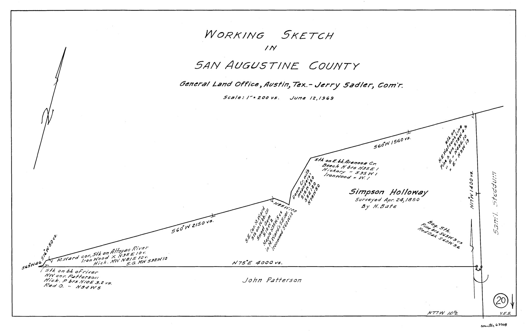
San Augustine County Working Sketch 20
-
Map/Doc
63708
-
Collection
General Map Collection
-
Object Dates
6/12/1969 (Creation Date)
-
People and Organizations
Victor E. Sterzing (Draftsman)
-
Counties
San Augustine
-
Subjects
Surveying Working Sketch
-
Height x Width
15.1 x 24.0 inches
38.4 x 61.0 cm
-
Scale
1" = 200 varas
Part of: General Map Collection
Brewster County Working Sketch 100

Print $40.00
- Digital $50.00
Brewster County Working Sketch 100
1979
Size 41.0 x 55.2 inches
Map/Doc 67700
Intracoastal Waterway in Texas - Corpus Christi to Point Isabel including Arroyo Colorado to Mo. Pac. R.R. Bridge Near Harlingen

Print $20.00
- Digital $50.00
Intracoastal Waterway in Texas - Corpus Christi to Point Isabel including Arroyo Colorado to Mo. Pac. R.R. Bridge Near Harlingen
1934
Size 22.0 x 32.7 inches
Map/Doc 61884
Orange County NRC Article 33.136 Sketch 2

Print $9.00
- Digital $50.00
Orange County NRC Article 33.136 Sketch 2
2011
Size 9.7 x 15.5 inches
Map/Doc 93263
Ector County Working Sketch 12

Print $20.00
- Digital $50.00
Ector County Working Sketch 12
1954
Size 43.3 x 20.1 inches
Map/Doc 68855
Eastland County Working Sketch 2

Print $20.00
- Digital $50.00
Eastland County Working Sketch 2
1915
Size 17.3 x 20.4 inches
Map/Doc 68783
Crockett County Rolled Sketch 31

Print $40.00
- Digital $50.00
Crockett County Rolled Sketch 31
Size 58.1 x 50.0 inches
Map/Doc 8716
Coke County Sketch File 13

Print $40.00
- Digital $50.00
Coke County Sketch File 13
Size 17.5 x 13.1 inches
Map/Doc 18596
Hudspeth County Working Sketch 27

Print $40.00
- Digital $50.00
Hudspeth County Working Sketch 27
1972
Size 31.0 x 51.2 inches
Map/Doc 66309
Tyler County Sketch File 2a

Print $11.00
- Digital $50.00
Tyler County Sketch File 2a
1851
Size 8.3 x 7.8 inches
Map/Doc 38617
San Saba County

Print $20.00
- Digital $50.00
San Saba County
1987
Size 43.5 x 47.3 inches
Map/Doc 95635
Kleberg County

Print $20.00
- Digital $50.00
Kleberg County
1913
Size 25.6 x 32.8 inches
Map/Doc 1878
Brewster County Working Sketch 14

Print $20.00
- Digital $50.00
Brewster County Working Sketch 14
1929
Size 21.3 x 22.7 inches
Map/Doc 67547
You may also like
Water-Shed of the Colorado River

Print $40.00
- Digital $50.00
Water-Shed of the Colorado River
1925
Size 37.1 x 79.8 inches
Map/Doc 65261
Van Zandt County Sketch File 25

Print $4.00
- Digital $50.00
Van Zandt County Sketch File 25
Size 7.6 x 8.8 inches
Map/Doc 39443

Duval County Rolled Sketch 51

Print $20.00
- Digital $50.00
Duval County Rolled Sketch 51
Size 19.1 x 16.9 inches
Map/Doc 5765
Hunt County Sketch File 38

Print $6.00
- Digital $50.00
Hunt County Sketch File 38
Size 11.0 x 10.8 inches
Map/Doc 27157
[Blocks 11 and Z5]
![91716, [Blocks 11 and Z5], Twichell Survey Records](https://historictexasmaps.com/wmedia_w700/maps/91716-1.tif.jpg)
Print $3.00
- Digital $50.00
[Blocks 11 and Z5]
1903
Size 10.8 x 10.7 inches
Map/Doc 91716
G. C. & S. F. Ry., San Saba Branch, Texas, Right of Way Map, Hall to Brady

Print $20.00
- Digital $50.00
G. C. & S. F. Ry., San Saba Branch, Texas, Right of Way Map, Hall to Brady
1916
Size 36.9 x 34.0 inches
Map/Doc 61419
Right of Way and Track Map, Galveston, Harrisburg & San Antonio Ry. operated by the T. & N. O. R.R. Co., Victoria Division, Rosenberg to Beeville

Print $40.00
- Digital $50.00
Right of Way and Track Map, Galveston, Harrisburg & San Antonio Ry. operated by the T. & N. O. R.R. Co., Victoria Division, Rosenberg to Beeville
1918
Size 25.1 x 57.9 inches
Map/Doc 76157
Harris County State Real Property Sketch 1

Print $40.00
- Digital $50.00
Harris County State Real Property Sketch 1
1985
Size 42.7 x 41.6 inches
Map/Doc 61690
The Republic County of Nacogdoches. Proposed, Late Fall 1837

Print $20.00
The Republic County of Nacogdoches. Proposed, Late Fall 1837
2020
Size 17.5 x 21.7 inches
Map/Doc 96242
Haskell County Boundary File 3

Print $6.00
- Digital $50.00
Haskell County Boundary File 3
Size 11.0 x 8.6 inches
Map/Doc 54539
Map of Nolan County

Print $20.00
- Digital $50.00
Map of Nolan County
1902
Size 47.4 x 37.5 inches
Map/Doc 5021