Hutchinson County Rolled Sketch 43
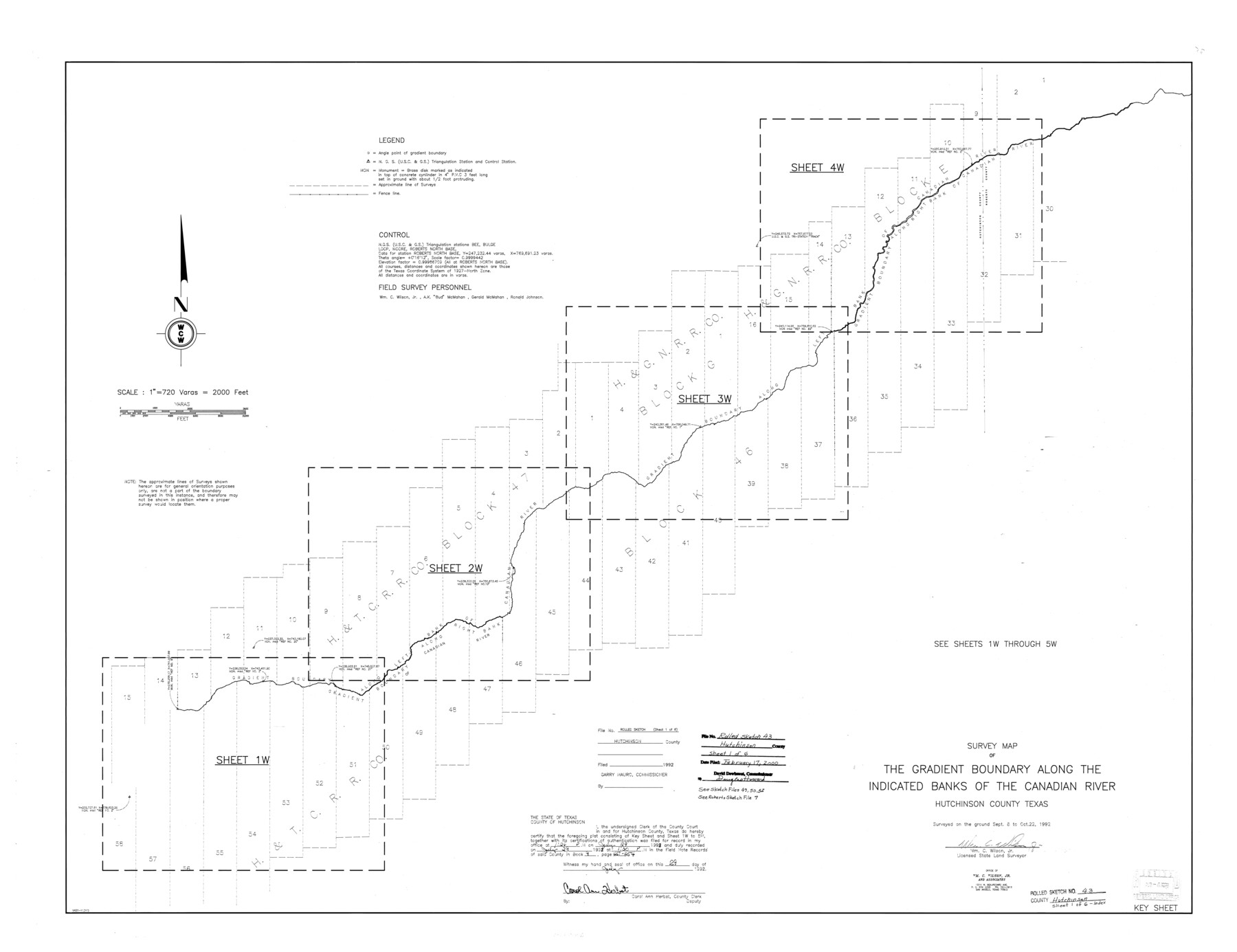
Survey map of the Gradient Boundary along the indicated banks of the Canadian River, Hutchinson County, Texas [Index Map]
-
Map/Doc
6311
-
Collection
General Map Collection
-
Object Dates
1992/10/22 (Creation Date)
2000/2/17 (File Date)
-
People and Organizations
Wm. C. Wilson, Jr. (Surveyor/Engineer)
-
Counties
Hutchinson
-
Subjects
Surveying Rolled Sketch
-
Height x Width
38.0 x 49.4 inches
96.5 x 125.5 cm
-
Medium
mylar, print
-
Scale
1" = 720 varas
-
Comments
See Hutchinson County Sketch File 49 (27419), Hutchinson County Sketch File 50 (27434), Hutchinson County Sketch File 52 (27449), Roberts County Sketch File 7 (35316).
Related maps
Hutchinson County Sketch File 49

Print $30.00
- Digital $50.00
Hutchinson County Sketch File 49
1992
Size 14.2 x 8.6 inches
Map/Doc 27419
Hutchinson County Sketch File 50

Print $12.00
- Digital $50.00
Hutchinson County Sketch File 50
1992
Size 14.2 x 8.8 inches
Map/Doc 27434
Hutchinson County Sketch File 52

Print $14.00
- Digital $50.00
Hutchinson County Sketch File 52
1992
Size 14.2 x 8.8 inches
Map/Doc 27449
Roberts County Sketch File 7

Print $16.00
- Digital $50.00
Roberts County Sketch File 7
1992
Size 14.3 x 8.8 inches
Map/Doc 35316
Part of: General Map Collection
Houston County Sketch File 38

Print $8.00
- Digital $50.00
Houston County Sketch File 38
Size 12.8 x 8.3 inches
Map/Doc 26821
[Sketch for Mineral Application 27670 - Strip between Simon Sanchez leagues and Trinity River]
![2865, [Sketch for Mineral Application 27670 - Strip between Simon Sanchez leagues and Trinity River], General Map Collection](https://historictexasmaps.com/wmedia_w700/maps/2865-1.tif.jpg)
Print $40.00
- Digital $50.00
[Sketch for Mineral Application 27670 - Strip between Simon Sanchez leagues and Trinity River]
1934
Size 17.3 x 50.5 inches
Map/Doc 2865
Galveston County Working Sketch 18

Print $20.00
- Digital $50.00
Galveston County Working Sketch 18
1982
Size 18.3 x 19.7 inches
Map/Doc 69355
Coleman County Working Sketch 24

Print $40.00
- Digital $50.00
Coleman County Working Sketch 24
1989
Size 43.1 x 54.3 inches
Map/Doc 68277
Brewster County Sketch File B

Print $40.00
- Digital $50.00
Brewster County Sketch File B
1910
Size 25.5 x 18.3 inches
Map/Doc 10975
Lee County Rolled Sketch 1

Print $40.00
- Digital $50.00
Lee County Rolled Sketch 1
1939
Size 71.1 x 45.2 inches
Map/Doc 9562
Flight Mission No. DCL-7C, Frame 139, Kenedy County

Print $20.00
- Digital $50.00
Flight Mission No. DCL-7C, Frame 139, Kenedy County
1943
Size 18.5 x 22.3 inches
Map/Doc 86096
Flight Mission No. DQN-6K, Frame 3, Calhoun County

Print $20.00
- Digital $50.00
Flight Mission No. DQN-6K, Frame 3, Calhoun County
1953
Size 18.3 x 22.1 inches
Map/Doc 84425
Pecos County Rolled Sketch 184

Print $20.00
- Digital $50.00
Pecos County Rolled Sketch 184
1977
Size 44.4 x 30.0 inches
Map/Doc 7303
San Jacinto County Working Sketch 31

Print $20.00
- Digital $50.00
San Jacinto County Working Sketch 31
1953
Size 29.1 x 30.4 inches
Map/Doc 63744
[Location, Fort Worth & Denver Railroad, through Wilbarger County]
![64344, [Location, Fort Worth & Denver Railroad, through Wilbarger County], General Map Collection](https://historictexasmaps.com/wmedia_w700/maps/64344.tif.jpg)
Print $40.00
- Digital $50.00
[Location, Fort Worth & Denver Railroad, through Wilbarger County]
Size 20.8 x 123.5 inches
Map/Doc 64344
Gregg County Rolled Sketch 17

Print $20.00
- Digital $50.00
Gregg County Rolled Sketch 17
1933
Size 14.2 x 27.5 inches
Map/Doc 6041
You may also like
Hidalgo County Sketch File 16

Print $12.00
- Digital $50.00
Hidalgo County Sketch File 16
1914
Size 11.2 x 8.9 inches
Map/Doc 26437
Lampasas County Sketch File 11

Print $4.00
- Digital $50.00
Lampasas County Sketch File 11
1874
Size 12.2 x 7.9 inches
Map/Doc 29420
Harrison County Working Sketch 9

Print $20.00
- Digital $50.00
Harrison County Working Sketch 9
1956
Size 23.6 x 24.9 inches
Map/Doc 66029
Goliad County Working Sketch 9

Print $20.00
- Digital $50.00
Goliad County Working Sketch 9
1938
Size 19.3 x 27.6 inches
Map/Doc 63199
Trinity River, Dallas Elevation Sheet

Print $20.00
- Digital $50.00
Trinity River, Dallas Elevation Sheet
1913
Size 26.6 x 24.1 inches
Map/Doc 65258
Pecos County Rolled Sketch 59

Print $20.00
- Digital $50.00
Pecos County Rolled Sketch 59
1922
Size 16.6 x 17.0 inches
Map/Doc 7231
Kinney County Rolled Sketch 8

Print $20.00
- Digital $50.00
Kinney County Rolled Sketch 8
Size 28.0 x 43.9 inches
Map/Doc 6537
Oldham County Working Sketch 4

Print $20.00
- Digital $50.00
Oldham County Working Sketch 4
1948
Size 28.8 x 26.2 inches
Map/Doc 71326
St. Louis, Brownsville & Mexico Railway Location Map from Mile 0 to Mile 20

Print $40.00
- Digital $50.00
St. Louis, Brownsville & Mexico Railway Location Map from Mile 0 to Mile 20
1906
Size 19.3 x 57.7 inches
Map/Doc 64076
Red River County Sketch File 21

Print $4.00
- Digital $50.00
Red River County Sketch File 21
Size 12.7 x 7.9 inches
Map/Doc 35154

Hardin County Working Sketch 30

Print $20.00
- Digital $50.00
Hardin County Working Sketch 30
1967
Size 24.6 x 20.3 inches
Map/Doc 63428