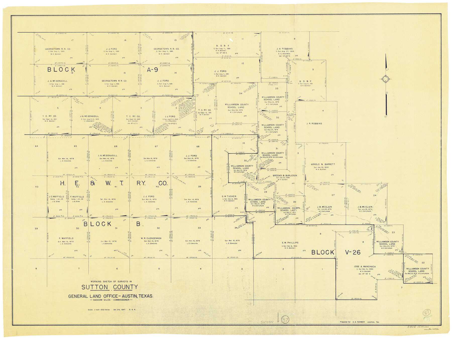
Sutton County Working Sketch 37
-
Map/Doc
62380
-
Collection
General Map Collection
-
Object Dates
10/24/1947 (Creation Date)
-
People and Organizations
Otto G. Kurio (Draftsman)
-
Counties
Sutton
-
Subjects
Surveying Working Sketch
-
Height x Width
31.0 x 41.4 inches
78.7 x 105.2 cm
-
Scale
1" = 500 varas
Part of: General Map Collection
Hansford County Sketch File 7

Print $4.00
- Digital $50.00
Hansford County Sketch File 7
1927
Size 12.2 x 8.8 inches
Map/Doc 24958
La Salle County Sketch File 19 1/2

Print $28.00
- Digital $50.00
La Salle County Sketch File 19 1/2
1886
Size 14.3 x 8.7 inches
Map/Doc 29515
Gray County Working Sketch 7

Print $20.00
- Digital $50.00
Gray County Working Sketch 7
1971
Size 41.3 x 28.7 inches
Map/Doc 63238
Callahan County Working Sketch 9

Print $20.00
- Digital $50.00
Callahan County Working Sketch 9
1962
Size 28.3 x 25.6 inches
Map/Doc 67891
Hudspeth County Sketch File 14

Print $12.00
- Digital $50.00
Hudspeth County Sketch File 14
1915
Size 14.3 x 8.8 inches
Map/Doc 26938
Ochiltree County Working Sketch 6

Print $20.00
- Digital $50.00
Ochiltree County Working Sketch 6
1962
Size 31.1 x 22.9 inches
Map/Doc 71319
Brewster County Sketch File N-25

Print $28.00
- Digital $50.00
Brewster County Sketch File N-25
1952
Size 24.4 x 9.1 inches
Map/Doc 15700
Nacogdoches County Working Sketch 10

Print $20.00
- Digital $50.00
Nacogdoches County Working Sketch 10
1981
Size 19.0 x 17.6 inches
Map/Doc 71226
Flight Mission No. CGI-3N, Frame 174, Cameron County

Print $20.00
- Digital $50.00
Flight Mission No. CGI-3N, Frame 174, Cameron County
1954
Size 18.5 x 22.1 inches
Map/Doc 84638
Jeff Davis County Sketch File 41

Print $40.00
- Digital $50.00
Jeff Davis County Sketch File 41
1959
Size 13.3 x 13.4 inches
Map/Doc 28064
Baylor County Sketch File 32

Print $10.00
- Digital $50.00
Baylor County Sketch File 32
Size 10.2 x 8.2 inches
Map/Doc 14238
Flight Mission No. DAG-24K, Frame 47, Matagorda County

Print $20.00
- Digital $50.00
Flight Mission No. DAG-24K, Frame 47, Matagorda County
1953
Size 18.5 x 22.3 inches
Map/Doc 86534
You may also like
Blanco County Working Sketch 36

Print $20.00
- Digital $50.00
Blanco County Working Sketch 36
1979
Size 23.8 x 22.0 inches
Map/Doc 67396
The Chief Justice Counties. Late Summer 1837

Print $20.00
The Chief Justice Counties. Late Summer 1837
2020
Size 16.8 x 19.1 inches
Map/Doc 96079
Goliad County Sketch File 42a

Print $4.00
- Digital $50.00
Goliad County Sketch File 42a
1845
Size 13.3 x 8.2 inches
Map/Doc 24353
Brazoria County Working Sketch 23

Print $20.00
- Digital $50.00
Brazoria County Working Sketch 23
1961
Size 37.9 x 32.4 inches
Map/Doc 67508
Brown County Sketch File 4

Print $4.00
- Digital $50.00
Brown County Sketch File 4
1858
Size 12.7 x 8.1 inches
Map/Doc 16585
Presidio County Working Sketch 64

Print $40.00
- Digital $50.00
Presidio County Working Sketch 64
1958
Size 50.2 x 37.5 inches
Map/Doc 71741
Sectional Map of Texas traversed by the Southern Pacific Lines and connections

Print $20.00
- Digital $50.00
Sectional Map of Texas traversed by the Southern Pacific Lines and connections
1916
Size 20.6 x 22.3 inches
Map/Doc 95800
Anderson County Sketch File 28

Print $34.00
- Digital $50.00
Anderson County Sketch File 28
1927
Size 14.2 x 8.7 inches
Map/Doc 12798
Val Verde County Working Sketch 119

Print $40.00
- Digital $50.00
Val Verde County Working Sketch 119
2005
Size 30.5 x 50.0 inches
Map/Doc 83588
The Republic County of Harris. January 25, 1840

Print $20.00
The Republic County of Harris. January 25, 1840
2020
Size 17.7 x 21.7 inches
Map/Doc 96165
[Leagues 212- 217, 241- 244, and Vicinity]
![91430, [Leagues 212- 217, 241- 244, and Vicinity], Twichell Survey Records](https://historictexasmaps.com/wmedia_w700/maps/91430-1.tif.jpg)
Print $20.00
- Digital $50.00
[Leagues 212- 217, 241- 244, and Vicinity]
1902
Size 20.6 x 6.4 inches
Map/Doc 91430
Culberson County Working Sketch 87

Print $20.00
- Digital $50.00
Culberson County Working Sketch 87
1981
Size 26.9 x 37.1 inches
Map/Doc 68541