Hemphill County Rolled Sketch 15
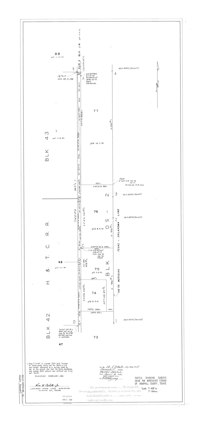
Sketch showing surveys near the northeast corner of Hemphill County, Texas
-
Map/Doc
6194
-
Collection
General Map Collection
-
Object Dates
1961 (Creation Date)
1961/4/3 (File Date)
-
People and Organizations
Ross H. Corlett, Jr. (Surveyor/Engineer)
-
Counties
Hemphill
-
Subjects
Surveying Rolled Sketch
-
Height x Width
44.7 x 21.5 inches
113.5 x 54.6 cm
-
Scale
1" = 144 varas
Part of: General Map Collection
Map of the River Sabine from its mouth on the Gulf of Mexico in the sea to Logan's Ferry in latitude 31° 58' 24" north

Print $20.00
- Digital $50.00
Map of the River Sabine from its mouth on the Gulf of Mexico in the sea to Logan's Ferry in latitude 31° 58' 24" north
1842
Size 18.5 x 9.0 inches
Map/Doc 65384
Hidalgo County Working Sketch 2

Print $20.00
- Digital $50.00
Hidalgo County Working Sketch 2
1906
Size 22.0 x 28.0 inches
Map/Doc 66179
Mason County Boundary File 1

Print $2.00
- Digital $50.00
Mason County Boundary File 1
Size 12.7 x 8.2 inches
Map/Doc 56829
[Galveston, Harrisburg & San Antonio through El Paso County]
![64005, [Galveston, Harrisburg & San Antonio through El Paso County], General Map Collection](https://historictexasmaps.com/wmedia_w700/maps/64005.tif.jpg)
Print $20.00
- Digital $50.00
[Galveston, Harrisburg & San Antonio through El Paso County]
1906
Size 13.3 x 33.6 inches
Map/Doc 64005
Baylor County Boundary File 15

Print $4.00
- Digital $50.00
Baylor County Boundary File 15
Size 10.1 x 8.0 inches
Map/Doc 50431
Crockett County Working Sketch 87

Print $20.00
- Digital $50.00
Crockett County Working Sketch 87
1976
Size 35.5 x 43.8 inches
Map/Doc 68420
Hale County Sketch File 16

Print $4.00
- Digital $50.00
Hale County Sketch File 16
1888
Size 12.8 x 8.2 inches
Map/Doc 24747
Garza County Sketch File H1

Print $24.00
- Digital $50.00
Garza County Sketch File H1
Size 7.6 x 8.8 inches
Map/Doc 24030
Van Zandt County Sketch File 15a

Print $4.00
- Digital $50.00
Van Zandt County Sketch File 15a
1858
Size 6.7 x 8.1 inches
Map/Doc 39406
Jasper County Working Sketch 5

Print $20.00
- Digital $50.00
Jasper County Working Sketch 5
1906
Size 26.8 x 38.0 inches
Map/Doc 66467
[Sketch for Mineral Application 26501 - Sabine River, T. A. Oldhausen]
![2840, [Sketch for Mineral Application 26501 - Sabine River, T. A. Oldhausen], General Map Collection](https://historictexasmaps.com/wmedia_w700/maps/2840.tif.jpg)
Print $20.00
- Digital $50.00
[Sketch for Mineral Application 26501 - Sabine River, T. A. Oldhausen]
1931
Size 24.3 x 35.5 inches
Map/Doc 2840
Donley County Sketch File B6

Print $20.00
- Digital $50.00
Donley County Sketch File B6
1919
Size 16.5 x 14.6 inches
Map/Doc 11376
You may also like
Houston County Rolled Sketch 10

Print $20.00
- Digital $50.00
Houston County Rolled Sketch 10
1988
Size 31.9 x 25.3 inches
Map/Doc 6230
Texas Intracoastal Waterway - Port O'Connor to San Antonio Bay, Including Pass Cavallo

Print $20.00
- Digital $50.00
Texas Intracoastal Waterway - Port O'Connor to San Antonio Bay, Including Pass Cavallo
1961
Size 26.5 x 38.7 inches
Map/Doc 73373
Travis County Boundary File 24

Print $4.00
- Digital $50.00
Travis County Boundary File 24
Size 8.3 x 7.2 inches
Map/Doc 59457
Trinity County Rolled Sketch 5

Print $20.00
- Digital $50.00
Trinity County Rolled Sketch 5
1993
Size 25.3 x 38.0 inches
Map/Doc 8052

Gregg County School Land League 2

Print $20.00
- Digital $50.00
Gregg County School Land League 2
Size 15.6 x 15.5 inches
Map/Doc 90613
Sutton County Sketch File H

Print $22.00
- Digital $50.00
Sutton County Sketch File H
Size 14.3 x 8.7 inches
Map/Doc 37400
Montgomery County Rolled Sketch 12

Print $20.00
- Digital $50.00
Montgomery County Rolled Sketch 12
Size 23.4 x 30.5 inches
Map/Doc 6801
Map of the City of Kerens (Navarro County) Texas

Print $40.00
- Digital $50.00
Map of the City of Kerens (Navarro County) Texas
1958
Size 44.2 x 54.9 inches
Map/Doc 93670
[River Sections 54-73, part of Blk. GG]
![90317, [River Sections 54-73, part of Blk. GG], Twichell Survey Records](https://historictexasmaps.com/wmedia_w700/maps/90317-1.tif.jpg)
Print $20.00
- Digital $50.00
[River Sections 54-73, part of Blk. GG]
Size 37.0 x 35.9 inches
Map/Doc 90317
Henderson County Working Sketch 1

Print $40.00
- Digital $50.00
Henderson County Working Sketch 1
Size 52.6 x 43.8 inches
Map/Doc 66134
Cottle County Working Sketch 6

Print $20.00
- Digital $50.00
Cottle County Working Sketch 6
1927
Size 23.0 x 29.3 inches
Map/Doc 68316