Brewster County Rolled Sketch 66
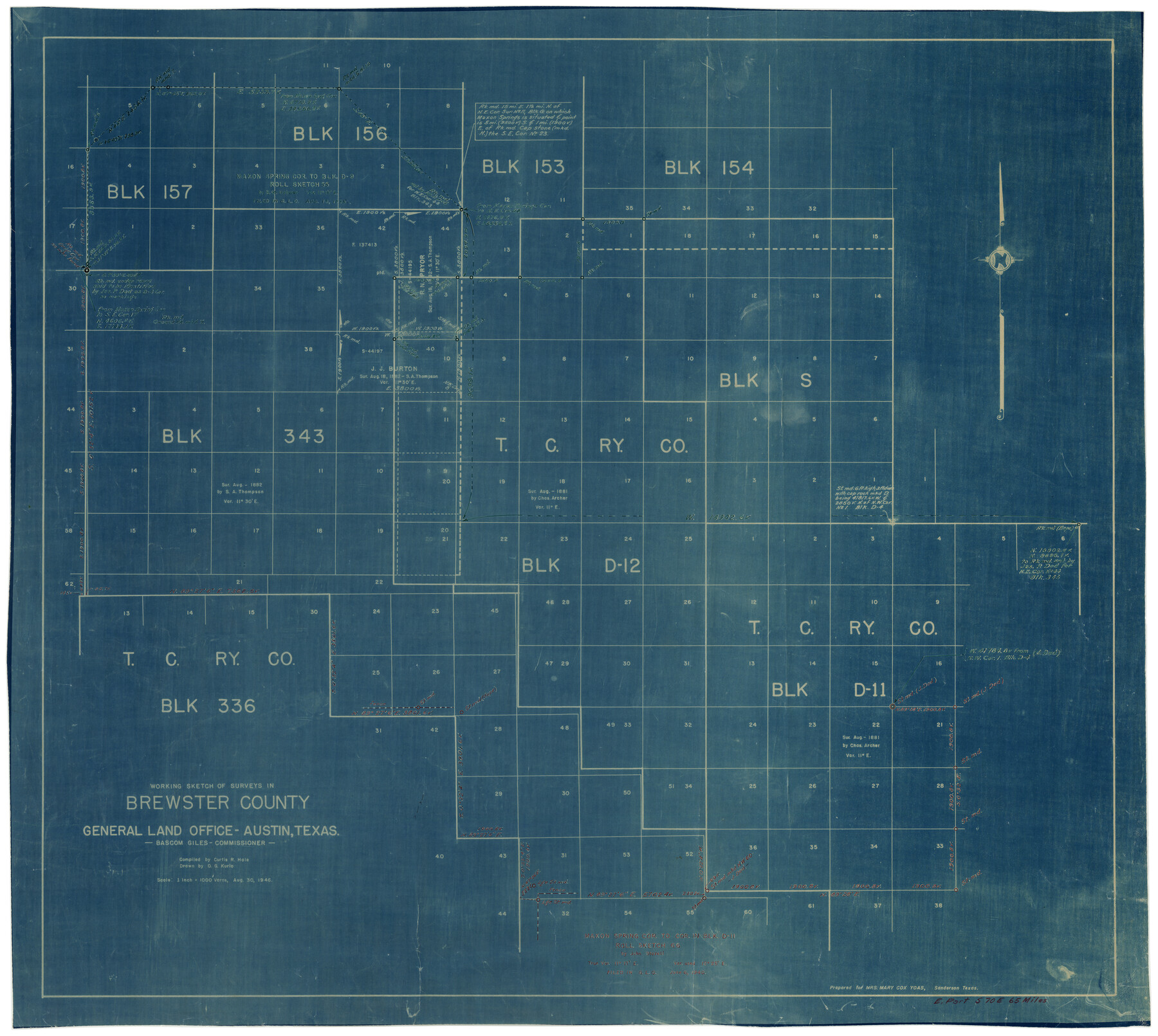
Working Sketch of Surveys in Brewster County [showing Maxon Spring Cor. to Cor. in Blk. D-11, Roll Sketch 66]
-
Map/Doc
61785
-
Collection
General Map Collection
-
Object Dates
8/30/1946 (Creation Date)
-
People and Organizations
John Stovell (Surveyor/Engineer)
Curtis R. Hale (Compiler)
Otto G. Kurio (Draftsman)
-
Counties
Brewster
-
Subjects
Surveying Rolled Sketch
-
Height x Width
33.0 x 36.2 inches
83.8 x 92.0 cm
-
Medium
blueprint
-
Comments
For another sheet, see 8490.
Related maps
Brewster County Rolled Sketch 66

Print $20.00
- Digital $50.00
Brewster County Rolled Sketch 66
1940
Size 33.0 x 36.2 inches
Map/Doc 8490
Part of: General Map Collection
San Luis Pass to East Matagorda Bay

Print $20.00
- Digital $50.00
San Luis Pass to East Matagorda Bay
1966
Size 34.6 x 46.5 inches
Map/Doc 69965
Flight Mission No. DCL-6C, Frame 24, Kenedy County

Print $20.00
- Digital $50.00
Flight Mission No. DCL-6C, Frame 24, Kenedy County
1943
Size 18.8 x 22.4 inches
Map/Doc 85881
Topographic Map, Reynard Sheet, Trinity River; Houston and Leon Counties

Print $20.00
- Digital $50.00
Topographic Map, Reynard Sheet, Trinity River; Houston and Leon Counties
1925
Size 45.6 x 41.4 inches
Map/Doc 2469
Old Miscellaneous File 31

Print $8.00
- Digital $50.00
Old Miscellaneous File 31
1845
Size 8.6 x 5.6 inches
Map/Doc 75748
Duval County Rolled Sketch 50

Print $20.00
- Digital $50.00
Duval County Rolled Sketch 50
1876
Size 14.2 x 11.8 inches
Map/Doc 5764
Presidio County Working Sketch 103

Print $20.00
- Digital $50.00
Presidio County Working Sketch 103
1980
Size 47.8 x 31.2 inches
Map/Doc 71780
Navarro County Sketch File 7

Print $4.00
- Digital $50.00
Navarro County Sketch File 7
1854
Size 12.2 x 8.0 inches
Map/Doc 32313
Rio Grande, Brownsville Sheet No. 2

Print $4.00
- Digital $50.00
Rio Grande, Brownsville Sheet No. 2
1924
Size 21.2 x 28.3 inches
Map/Doc 65131
Brewster County Sketch File N-25

Print $28.00
- Digital $50.00
Brewster County Sketch File N-25
1952
Size 24.4 x 9.1 inches
Map/Doc 15700
Flight Mission No. BRA-8M, Frame 75, Jefferson County

Print $20.00
- Digital $50.00
Flight Mission No. BRA-8M, Frame 75, Jefferson County
1953
Size 18.6 x 22.4 inches
Map/Doc 85595
Sketch E. No. 2 Shewing the progress of the Survey in the vicinity of Savannah, Georgia

Print $20.00
- Digital $50.00
Sketch E. No. 2 Shewing the progress of the Survey in the vicinity of Savannah, Georgia
1850
Size 11.0 x 9.9 inches
Map/Doc 97214
Culberson County Rolled Sketch 47

Print $20.00
- Digital $50.00
Culberson County Rolled Sketch 47
1959
Size 35.1 x 31.5 inches
Map/Doc 8755
You may also like
Nueces County Sketch File 78

Print $72.00
- Digital $50.00
Nueces County Sketch File 78
1996
Size 11.1 x 8.4 inches
Map/Doc 33060
Ector County Boundary File 5

Print $12.00
- Digital $50.00
Ector County Boundary File 5
Size 14.3 x 8.8 inches
Map/Doc 52847
Flight Mission No. DAG-23K, Frame 143, Matagorda County

Print $20.00
- Digital $50.00
Flight Mission No. DAG-23K, Frame 143, Matagorda County
1953
Size 15.8 x 15.7 inches
Map/Doc 86491
Val Verde County Sketch File XXX1

Print $20.00
- Digital $50.00
Val Verde County Sketch File XXX1
Size 18.8 x 24.0 inches
Map/Doc 12547
Flight Mission No. DIX-7P, Frame 86, Aransas County

Print $20.00
- Digital $50.00
Flight Mission No. DIX-7P, Frame 86, Aransas County
1956
Size 18.7 x 22.5 inches
Map/Doc 83880
Montgomery County

Print $20.00
- Digital $50.00
Montgomery County
1901
Size 42.2 x 47.4 inches
Map/Doc 66939
South Part of Brewster Co.

Print $40.00
- Digital $50.00
South Part of Brewster Co.
1955
Size 48.8 x 40.0 inches
Map/Doc 66736
Midland County Working Sketch 23

Print $40.00
- Digital $50.00
Midland County Working Sketch 23
1956
Size 45.0 x 75.6 inches
Map/Doc 71004
Galveston County NRC Article 33.136 Sketch 38

Print $28.00
- Digital $50.00
Galveston County NRC Article 33.136 Sketch 38
2006
Size 24.4 x 18.6 inches
Map/Doc 83079
Callahan County

Print $20.00
- Digital $50.00
Callahan County
1879
Size 22.0 x 17.9 inches
Map/Doc 3362
Wilbarger County Rolled Sketch 2

Print $40.00
- Digital $50.00
Wilbarger County Rolled Sketch 2
Size 36.7 x 49.6 inches
Map/Doc 10140
[Jose Pineda grant]
![123, [Jose Pineda grant], General Map Collection](https://historictexasmaps.com/wmedia_w700/maps/123.tif.jpg)
Print $2.00
- Digital $50.00
[Jose Pineda grant]
1846
Size 13.6 x 7.7 inches
Map/Doc 123