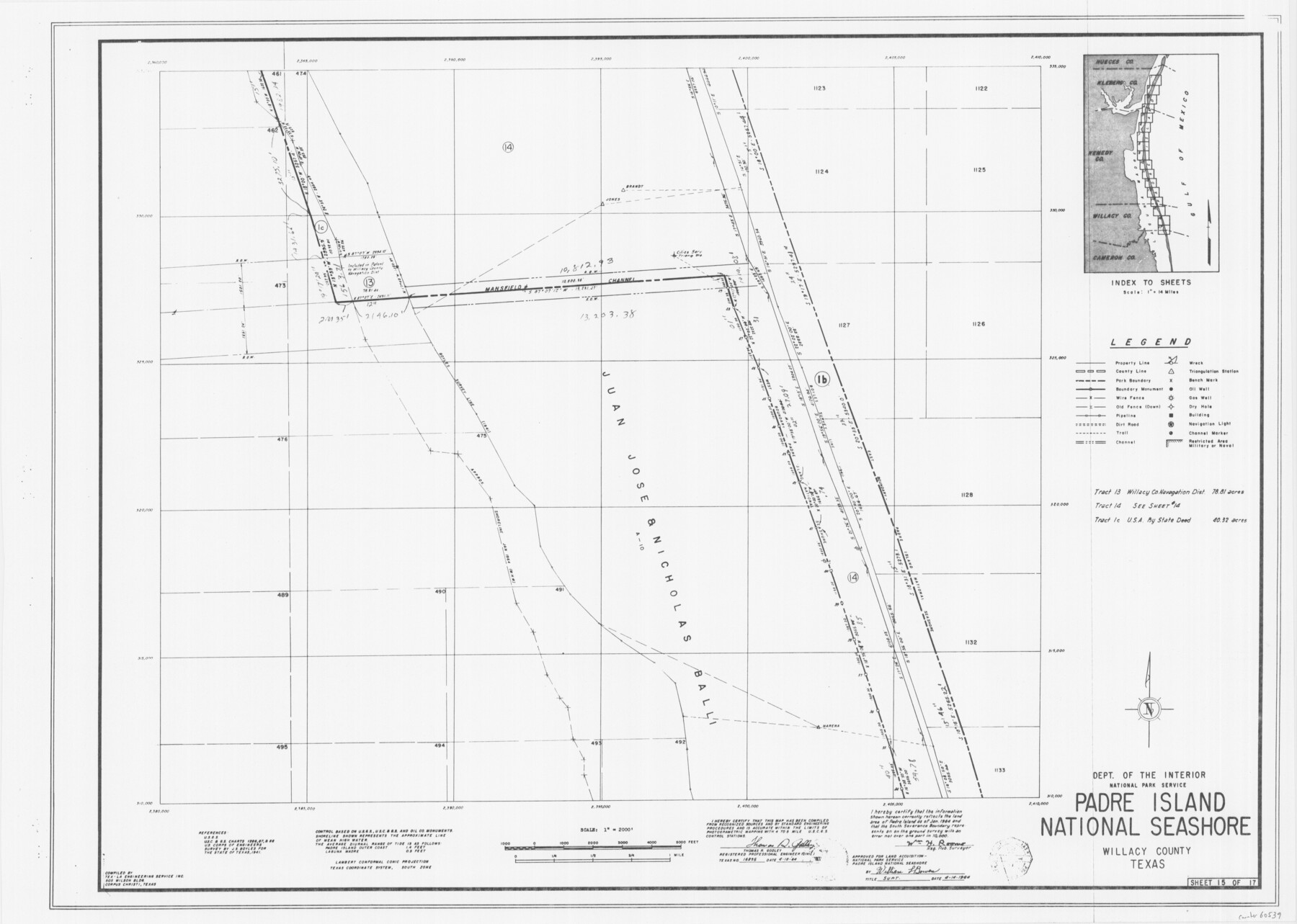
Padre Island National Seashore
17 survey plats of Padre Island National Seashore
N-2-125
-
Map/Doc
60539
-
Collection
General Map Collection
-
Counties
Willacy
-
Height x Width
15.9 x 22.3 inches
40.4 x 56.6 cm
Part of: General Map Collection
Presidio County Rolled Sketch 96

Print $20.00
- Digital $50.00
Presidio County Rolled Sketch 96
Size 12.3 x 45.9 inches
Map/Doc 9782
Loving County Rolled Sketch 8

Print $20.00
- Digital $50.00
Loving County Rolled Sketch 8
1975
Size 30.5 x 17.4 inches
Map/Doc 6639
Harris County Working Sketch 19

Print $40.00
- Digital $50.00
Harris County Working Sketch 19
1921
Size 42.5 x 55.0 inches
Map/Doc 65911
Galveston County Rolled Sketch DB

Print $20.00
- Digital $50.00
Galveston County Rolled Sketch DB
Size 37.0 x 47.5 inches
Map/Doc 9854
El Paso County Working Sketch 4

Print $20.00
- Digital $50.00
El Paso County Working Sketch 4
1916
Size 21.4 x 37.3 inches
Map/Doc 69026
PSL Field Notes for Blocks 99, 100, 101, 103, 104, 105, 106, 107, 108, and 109 in Culberson County

PSL Field Notes for Blocks 99, 100, 101, 103, 104, 105, 106, 107, 108, and 109 in Culberson County
Map/Doc 81665
Starr County Working Sketch 22

Print $20.00
- Digital $50.00
Starr County Working Sketch 22
1983
Size 25.8 x 33.1 inches
Map/Doc 63938
Flight Mission No. DAG-17K, Frame 72, Matagorda County

Print $20.00
- Digital $50.00
Flight Mission No. DAG-17K, Frame 72, Matagorda County
1952
Size 18.6 x 22.4 inches
Map/Doc 86331
Houston County Working Sketch 7

Print $20.00
- Digital $50.00
Houston County Working Sketch 7
1935
Size 24.7 x 36.8 inches
Map/Doc 66237
Flight Mission No. BQY-4M, Frame 55, Harris County

Print $20.00
- Digital $50.00
Flight Mission No. BQY-4M, Frame 55, Harris County
1953
Size 18.5 x 22.3 inches
Map/Doc 85264
Hunt County Sketch File 16a

Print $4.00
- Digital $50.00
Hunt County Sketch File 16a
Size 4.6 x 8.1 inches
Map/Doc 27109
[Cotton Belt, St. Louis Southwestern Railway of Texas, Alignment through Smith County]
![64378, [Cotton Belt, St. Louis Southwestern Railway of Texas, Alignment through Smith County], General Map Collection](https://historictexasmaps.com/wmedia_w700/maps/64378.tif.jpg)
Print $20.00
- Digital $50.00
[Cotton Belt, St. Louis Southwestern Railway of Texas, Alignment through Smith County]
1903
Size 22.3 x 30.1 inches
Map/Doc 64378
You may also like
Matagorda Bay and Approaches

Print $20.00
- Digital $50.00
Matagorda Bay and Approaches
1972
Size 34.8 x 44.8 inches
Map/Doc 73384
Oldham County Sketch File 16

Print $6.00
- Digital $50.00
Oldham County Sketch File 16
1904
Size 11.2 x 8.8 inches
Map/Doc 33264
Right of Way and Track Map, Houston & Texas Central R.R. operated by the T. and N. O. R.R., Fort Worth Branch

Print $40.00
- Digital $50.00
Right of Way and Track Map, Houston & Texas Central R.R. operated by the T. and N. O. R.R., Fort Worth Branch
1918
Size 31.8 x 57.1 inches
Map/Doc 64781
County of Galveston, Texas

Print $20.00
- Digital $50.00
County of Galveston, Texas
1845
Size 22.9 x 32.2 inches
Map/Doc 3574
Jeff Davis County Working Sketch 49

Print $20.00
- Digital $50.00
Jeff Davis County Working Sketch 49
2008
Size 38.0 x 35.7 inches
Map/Doc 88816
Gillespie County Sketch File 3

Print $4.00
- Digital $50.00
Gillespie County Sketch File 3
1847
Size 11.2 x 8.0 inches
Map/Doc 24129
The United States of America

Print $20.00
- Digital $50.00
The United States of America
1866
Size 21.3 x 18.3 inches
Map/Doc 72646
America's Fun-Tier: Texas 1967 Official State Highway Map

Digital $50.00
America's Fun-Tier: Texas 1967 Official State Highway Map
Size 28.2 x 36.4 inches
Map/Doc 94321
[Part of Map Showing Terry & Lynn County Line Highlighting Parts of Blocks D8, E, 9]
![92264, [Part of Map Showing Terry & Lynn County Line Highlighting Parts of Blocks D8, E, 9], Twichell Survey Records](https://historictexasmaps.com/wmedia_w700/maps/92264-1.tif.jpg)
Print $20.00
- Digital $50.00
[Part of Map Showing Terry & Lynn County Line Highlighting Parts of Blocks D8, E, 9]
Size 18.2 x 10.9 inches
Map/Doc 92264
[Galveston, Harrisburg & San Antonio Railroad from Cuero to Stockdale]
![64200, [Galveston, Harrisburg & San Antonio Railroad from Cuero to Stockdale], General Map Collection](https://historictexasmaps.com/wmedia_w700/maps/64200.tif.jpg)
Print $20.00
- Digital $50.00
[Galveston, Harrisburg & San Antonio Railroad from Cuero to Stockdale]
1907
Size 14.0 x 34.1 inches
Map/Doc 64200
Loving County Sketch File 1

Print $4.00
- Digital $50.00
Loving County Sketch File 1
1931
Size 11.2 x 8.6 inches
Map/Doc 30407
Lamar County Sketch File 7

Print $4.00
- Digital $50.00
Lamar County Sketch File 7
1880
Size 9.0 x 6.9 inches
Map/Doc 29288