Gaines County Rolled Sketch G3A
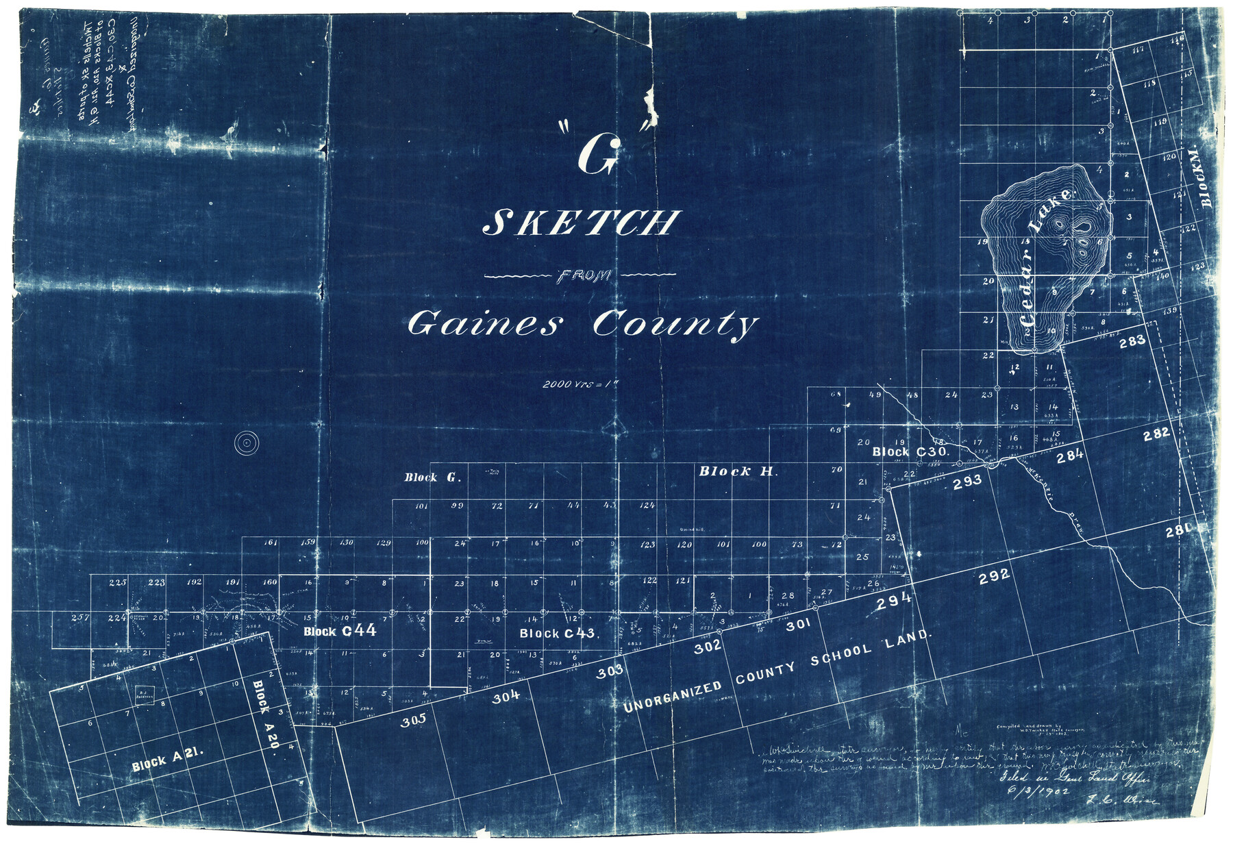
"G" sketch from Gaines County [showing surveys NW of unorganized county school land]
-
Map/Doc
5947
-
Collection
General Map Collection
-
Object Dates
3/29/1902 (Creation Date)
6/3/1902 (File Date)
-
People and Organizations
W.D. Twichell (Surveyor/Engineer)
-
Counties
Gaines
-
Subjects
Surveying Rolled Sketch
-
Height x Width
22.5 x 31.1 inches
57.2 x 79.0 cm
-
Medium
blueprint/diazo
Part of: General Map Collection
Galveston County Sketch File 57

Print $8.00
- Digital $50.00
Galveston County Sketch File 57
1910
Size 8.1 x 5.2 inches
Map/Doc 23603
Webb County Sketch File 65

Print $10.00
- Digital $50.00
Webb County Sketch File 65
1949
Size 14.5 x 8.9 inches
Map/Doc 39865
Flight Mission No. BRA-6M, Frame 89, Jefferson County

Print $20.00
- Digital $50.00
Flight Mission No. BRA-6M, Frame 89, Jefferson County
1953
Size 18.6 x 22.4 inches
Map/Doc 85432
Louisiana and Texas Intracoastal Waterway - Matagorda Bay to San Antonio Bay Dredging - Sheet 2

Print $20.00
- Digital $50.00
Louisiana and Texas Intracoastal Waterway - Matagorda Bay to San Antonio Bay Dredging - Sheet 2
1938
Size 31.0 x 41.2 inches
Map/Doc 61815
Flight Mission No. DIX-6P, Frame 197, Aransas County

Print $20.00
- Digital $50.00
Flight Mission No. DIX-6P, Frame 197, Aransas County
1956
Size 19.1 x 22.8 inches
Map/Doc 83859
Midland County Boundary File 5

Print $6.00
- Digital $50.00
Midland County Boundary File 5
Size 9.6 x 6.0 inches
Map/Doc 57195

Tom Green County Sketch File 76

Print $20.00
- Digital $50.00
Tom Green County Sketch File 76
1951
Size 24.5 x 24.7 inches
Map/Doc 12450
Freestone County Sketch File 5

Print $42.00
- Digital $50.00
Freestone County Sketch File 5
1854
Size 4.6 x 5.2 inches
Map/Doc 23047
Montgomery County Rolled Sketch 32

Print $40.00
- Digital $50.00
Montgomery County Rolled Sketch 32
1949
Size 59.9 x 40.4 inches
Map/Doc 9540
Midland County Sketch File 13

Print $4.00
- Digital $50.00
Midland County Sketch File 13
1940
Size 11.2 x 8.7 inches
Map/Doc 31576
Runnels County Rolled Sketch 36

Print $40.00
- Digital $50.00
Runnels County Rolled Sketch 36
Size 61.2 x 43.0 inches
Map/Doc 76027
You may also like
Map of Land in State Mineral Land Permit No. 2838 held by E. W. Fry and E. A. Giraud

Print $20.00
- Digital $50.00
Map of Land in State Mineral Land Permit No. 2838 held by E. W. Fry and E. A. Giraud
1919
Size 18.4 x 37.3 inches
Map/Doc 91837
Hood County Sketch File 23a

Print $20.00
- Digital $50.00
Hood County Sketch File 23a
1887
Size 17.2 x 16.5 inches
Map/Doc 11781
Maverick County Rolled Sketch 17

Print $20.00
- Digital $50.00
Maverick County Rolled Sketch 17
1910
Size 20.2 x 31.7 inches
Map/Doc 6710
Flight Mission No. CGI-3N, Frame 181, Cameron County

Print $20.00
- Digital $50.00
Flight Mission No. CGI-3N, Frame 181, Cameron County
1954
Size 18.5 x 22.2 inches
Map/Doc 84645
Brewster County Working Sketch 14

Print $20.00
- Digital $50.00
Brewster County Working Sketch 14
1929
Size 21.3 x 22.7 inches
Map/Doc 67547
Sheet 3 copied from Peck Book 6 [Strip Map showing T. & P. connecting lines]
![93173, Sheet 3 copied from Peck Book 6 [Strip Map showing T. & P. connecting lines], Twichell Survey Records](https://historictexasmaps.com/wmedia_w700/maps/93173-1.tif.jpg)
Print $40.00
- Digital $50.00
Sheet 3 copied from Peck Book 6 [Strip Map showing T. & P. connecting lines]
1909
Size 7.2 x 72.5 inches
Map/Doc 93173
History of Texas from its First Settlement in 1685 to its Annexation to the United States in 1846 (Vol. 1)

History of Texas from its First Settlement in 1685 to its Annexation to the United States in 1846 (Vol. 1)
1856
Map/Doc 97390

United States - Gulf Coast Texas - Southern part of Laguna Madre

Print $20.00
- Digital $50.00
United States - Gulf Coast Texas - Southern part of Laguna Madre
1941
Size 27.0 x 18.3 inches
Map/Doc 72953
Harbor Pass and Bar at Brazos Santiago, Texas

Print $20.00
- Digital $50.00
Harbor Pass and Bar at Brazos Santiago, Texas
1871
Size 18.3 x 26.8 inches
Map/Doc 72982
Olton Independent School District Lamb County, Texas

Print $20.00
- Digital $50.00
Olton Independent School District Lamb County, Texas
Size 22.3 x 28.5 inches
Map/Doc 92202
McLennan County Sketch File 21

Print $4.00
- Digital $50.00
McLennan County Sketch File 21
Size 9.0 x 8.2 inches
Map/Doc 31294