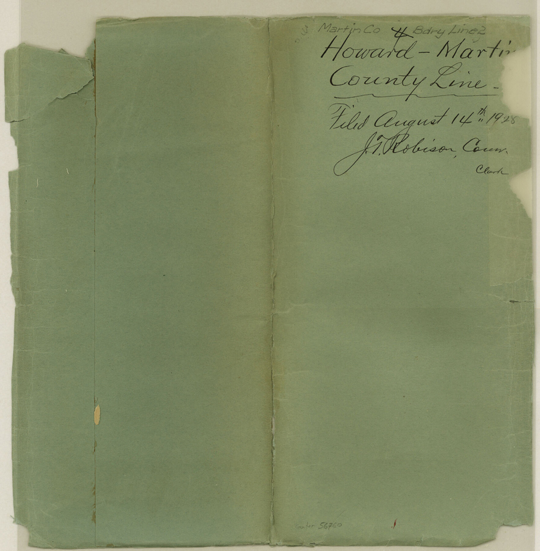
Martin County Boundary File 2
Field Notes of County line between Howard and Martin Counties
-
Map/Doc
56760
-
Collection
General Map Collection
-
Counties
Martin
-
Subjects
County Boundaries
-
Height x Width
9.3 x 9.1 inches
23.6 x 23.1 cm
Part of: General Map Collection
Dimmit County Rolled Sketch 23

Print $20.00
- Digital $50.00
Dimmit County Rolled Sketch 23
2015
Size 18.1 x 24.3 inches
Map/Doc 93792
Crockett County Rolled Sketch JAS

Print $40.00
- Digital $50.00
Crockett County Rolled Sketch JAS
1938
Size 52.9 x 42.7 inches
Map/Doc 8699

Liberty County Working Sketch 82

Print $40.00
- Digital $50.00
Liberty County Working Sketch 82
1981
Size 76.9 x 36.8 inches
Map/Doc 70542
Cooke County Sketch File 14

Print $4.00
- Digital $50.00
Cooke County Sketch File 14
Size 10.3 x 8.2 inches
Map/Doc 19248
Carte Reduite du Globe Terrestre

Print $20.00
- Digital $50.00
Carte Reduite du Globe Terrestre
1782
Size 13.5 x 17.1 inches
Map/Doc 97117
Old Miscellaneous File 1

Print $172.00
- Digital $50.00
Old Miscellaneous File 1
Size 8.3 x 6.6 inches
Map/Doc 75320
International Railroad Map & Profile of the First Fifty Miles East of Brazos River

Print $20.00
- Digital $50.00
International Railroad Map & Profile of the First Fifty Miles East of Brazos River
1877
Size 18.8 x 45.7 inches
Map/Doc 64464
G. C. & S. F., Main Line, Texas, Right of Way map, Rio Vista to Crowley

Print $40.00
- Digital $50.00
G. C. & S. F., Main Line, Texas, Right of Way map, Rio Vista to Crowley
1916
Size 40.2 x 92.0 inches
Map/Doc 64654
Brazoria County Working Sketch 13

Print $20.00
- Digital $50.00
Brazoria County Working Sketch 13
1936
Size 21.5 x 33.1 inches
Map/Doc 78194
[Del Rio, Texas]
![2070, [Del Rio, Texas], General Map Collection](https://historictexasmaps.com/wmedia_w700/maps/2070-1.tif.jpg)
Print $20.00
- Digital $50.00
[Del Rio, Texas]
1886
Size 24.2 x 34.3 inches
Map/Doc 2070
Lee County Sketch File 2

Print $4.00
- Digital $50.00
Lee County Sketch File 2
Size 12.7 x 8.3 inches
Map/Doc 29680
You may also like
Jasper County Sketch File 26

Print $16.00
- Digital $50.00
Jasper County Sketch File 26
1944
Size 11.2 x 8.8 inches
Map/Doc 27834
[Sketch for Mineral Application 33721 - 33725 Incl. - Padre and Mustang Island]
![2874, [Sketch for Mineral Application 33721 - 33725 Incl. - Padre and Mustang Island], General Map Collection](https://historictexasmaps.com/wmedia_w700/maps/2874.tif.jpg)
Print $20.00
- Digital $50.00
[Sketch for Mineral Application 33721 - 33725 Incl. - Padre and Mustang Island]
1941
Size 40.2 x 22.8 inches
Map/Doc 2874
Knox County Boundary File 4

Print $7.00
- Digital $50.00
Knox County Boundary File 4
Size 17.0 x 11.0 inches
Map/Doc 65037
Crosby County Boundary File 4

Print $88.00
- Digital $50.00
Crosby County Boundary File 4
Size 14.8 x 9.1 inches
Map/Doc 52003
Survey of Lots 1 and 2, Desha Bunton Subdivision

Print $20.00
- Digital $50.00
Survey of Lots 1 and 2, Desha Bunton Subdivision
1916
Size 19.6 x 18.4 inches
Map/Doc 487
Mitchell's Travellers Guide Through the United States. A Map of the Roads, Distances, Steam Boat, and Canal Routes etc.

Print $20.00
Mitchell's Travellers Guide Through the United States. A Map of the Roads, Distances, Steam Boat, and Canal Routes etc.
1835
Size 18.0 x 22.7 inches
Map/Doc 79723
Sketch in Block 9, Potter County Texas

Print $20.00
- Digital $50.00
Sketch in Block 9, Potter County Texas
1945
Size 15.7 x 18.5 inches
Map/Doc 91719
Red River County Working Sketch 43

Print $40.00
- Digital $50.00
Red River County Working Sketch 43
1968
Size 72.5 x 36.8 inches
Map/Doc 72026
Caldwell County Sketch File 2

Print $40.00
- Digital $50.00
Caldwell County Sketch File 2
1877
Size 12.9 x 20.0 inches
Map/Doc 11030
Reeves County Working Sketch 42

Print $20.00
- Digital $50.00
Reeves County Working Sketch 42
1973
Size 46.3 x 31.5 inches
Map/Doc 63485
Flight Mission No. BRE-1P, Frame 50, Nueces County

Print $20.00
- Digital $50.00
Flight Mission No. BRE-1P, Frame 50, Nueces County
1956
Size 18.5 x 22.3 inches
Map/Doc 86639
Olton Independent School District Lamb County, Texas

Print $20.00
- Digital $50.00
Olton Independent School District Lamb County, Texas
Size 22.3 x 28.5 inches
Map/Doc 92202