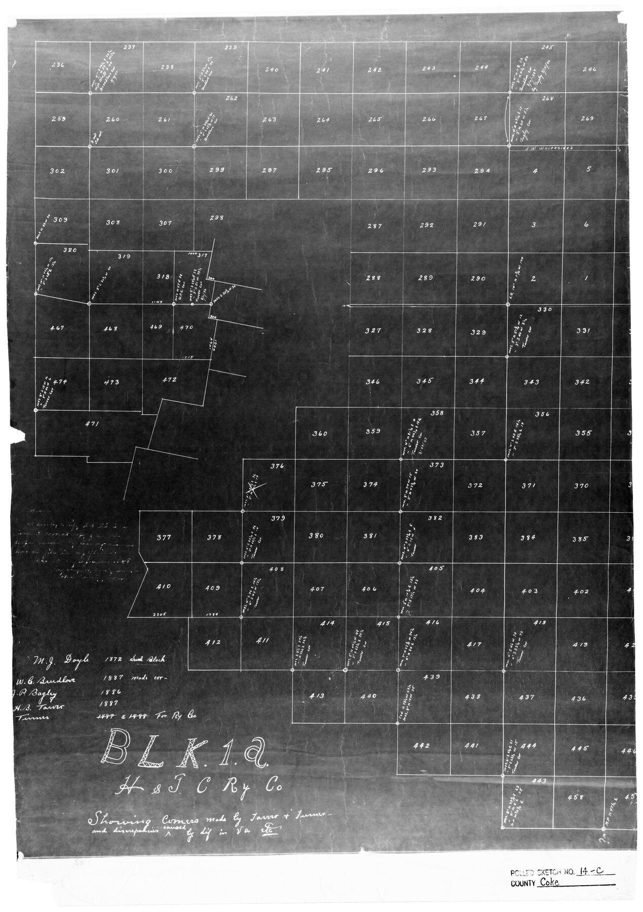
Coke County Rolled Sketch 14C
Blk. 1A H. & T. C. Ry. Co. showing corners made by [illegible] and discrepencies caused by dif. in va. etc.
-
Map/Doc
5517
-
Collection
General Map Collection
-
Counties
Coke
-
Subjects
Surveying Rolled Sketch
-
Height x Width
25.8 x 18.4 inches
65.5 x 46.7 cm
-
Medium
photostat
Part of: General Map Collection
Sutton County Sketch File B

Print $20.00
- Digital $50.00
Sutton County Sketch File B
Size 17.1 x 22.2 inches
Map/Doc 12395
La Salle County Sketch File 21

Print $6.00
- Digital $50.00
La Salle County Sketch File 21
1883
Size 11.0 x 10.5 inches
Map/Doc 29526
Upton County Rolled Sketch 54

Print $20.00
- Digital $50.00
Upton County Rolled Sketch 54
Size 23.5 x 35.6 inches
Map/Doc 8089
Flight Mission No. CRC-2R, Frame 1, Chambers County

Print $20.00
- Digital $50.00
Flight Mission No. CRC-2R, Frame 1, Chambers County
1956
Size 18.7 x 22.5 inches
Map/Doc 84720
Hamilton County Working Sketch 14

Print $20.00
- Digital $50.00
Hamilton County Working Sketch 14
1949
Size 30.1 x 35.4 inches
Map/Doc 63352
Refugio County Working Sketch 11

Print $20.00
- Digital $50.00
Refugio County Working Sketch 11
1942
Size 40.9 x 38.3 inches
Map/Doc 63520
Bexar County Sketch File 42

Print $4.00
- Digital $50.00
Bexar County Sketch File 42
1882
Size 10.6 x 8.7 inches
Map/Doc 14518
Map of Taylor County Travis- Young- Bexar- Land District

Print $20.00
- Digital $50.00
Map of Taylor County Travis- Young- Bexar- Land District
1859
Size 25.1 x 20.4 inches
Map/Doc 4071
Index Map No. 1 - Rio Bravo del Norte section of boundary between the United States & Mexico; agreed upon by the Joint Commission under the Treaty of Guadalupe Hidalgo

Print $20.00
- Digital $50.00
Index Map No. 1 - Rio Bravo del Norte section of boundary between the United States & Mexico; agreed upon by the Joint Commission under the Treaty of Guadalupe Hidalgo
1852
Size 18.5 x 27.4 inches
Map/Doc 72859
Live Oak County Sketch File 10

Print $6.00
- Digital $50.00
Live Oak County Sketch File 10
1876
Size 10.0 x 15.5 inches
Map/Doc 30263
Falls County Boundary File 1a

Print $56.00
- Digital $50.00
Falls County Boundary File 1a
1888
Size 14.6 x 9.2 inches
Map/Doc 53253
Upton County Rolled Sketch 57

Print $20.00
- Digital $50.00
Upton County Rolled Sketch 57
Size 30.1 x 41.8 inches
Map/Doc 8090
You may also like
San Patricio County Working Sketch 22

Print $4.00
- Digital $50.00
San Patricio County Working Sketch 22
Size 30.0 x 24.1 inches
Map/Doc 63784
Sterling County Rolled Sketch 23A

Print $131.00
- Digital $50.00
Sterling County Rolled Sketch 23A
Size 10.6 x 15.2 inches
Map/Doc 49032
Roberts County Working Sketch 45

Print $20.00
- Digital $50.00
Roberts County Working Sketch 45
1979
Size 23.7 x 20.0 inches
Map/Doc 63571
[McLennan County School Land Leagues 3 and 4 and surrounding surveys/blocks]
![90434, [McLennan County School Land Leagues 3 and 4 and surrounding surveys/blocks], Twichell Survey Records](https://historictexasmaps.com/wmedia_w700/maps/90434-1.tif.jpg)
Print $20.00
- Digital $50.00
[McLennan County School Land Leagues 3 and 4 and surrounding surveys/blocks]
Size 12.0 x 14.8 inches
Map/Doc 90434

Runnels County Sketch File 40

Print $20.00
Runnels County Sketch File 40
1891
Size 37.7 x 14.3 inches
Map/Doc 10594
Kimble County Working Sketch 40

Print $40.00
- Digital $50.00
Kimble County Working Sketch 40
1948
Size 53.0 x 38.4 inches
Map/Doc 70108
Presidio County Working Sketch 127

Print $20.00
- Digital $50.00
Presidio County Working Sketch 127
1987
Size 42.8 x 29.5 inches
Map/Doc 71805
Hidalgo County Sketch File 7

Print $20.00
- Digital $50.00
Hidalgo County Sketch File 7
1882
Size 20.3 x 28.2 inches
Map/Doc 11761
Travis County Boundary File 20

Print $6.00
- Digital $50.00
Travis County Boundary File 20
Size 14.4 x 9.2 inches
Map/Doc 59454
Flight Mission No. DQO-8K, Frame 45, Galveston County

Print $20.00
- Digital $50.00
Flight Mission No. DQO-8K, Frame 45, Galveston County
1952
Size 18.8 x 22.3 inches
Map/Doc 85152
[SE/4 of NW/4 of King Co.]
![89925, [SE/4 of NW/4 of King Co.], Twichell Survey Records](https://historictexasmaps.com/wmedia_w700/maps/89925-1.tif.jpg)
Print $40.00
- Digital $50.00
[SE/4 of NW/4 of King Co.]
Size 43.7 x 55.5 inches
Map/Doc 89925