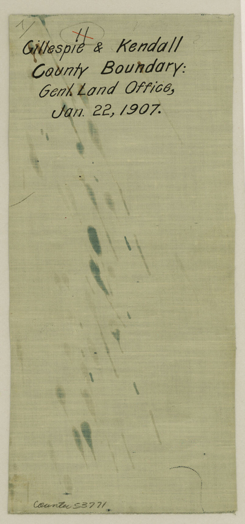
Gillespie County Boundary File 7
Gillespie & Kendall County Boundary
-
Map/Doc
53771
-
Collection
General Map Collection
-
Counties
Gillespie
-
Subjects
County Boundaries
-
Height x Width
8.6 x 4.0 inches
21.8 x 10.2 cm
Part of: General Map Collection
Falls County Rolled Sketch 1

Print $73.00
- Digital $50.00
Falls County Rolled Sketch 1
1934
Size 10.6 x 15.1 inches
Map/Doc 44540
Wise County Sketch File F

Print $20.00
- Digital $50.00
Wise County Sketch File F
1857
Size 16.2 x 29.2 inches
Map/Doc 12704
Schleicher County Rolled Sketch 19

Print $20.00
- Digital $50.00
Schleicher County Rolled Sketch 19
Size 25.0 x 21.9 inches
Map/Doc 7761
Reeves County Rolled Sketch 22
Print $20.00
- Digital $50.00
Reeves County Rolled Sketch 22
1960
Size 40.8 x 20.9 inches
Map/Doc 7490
Flight Mission No. DQO-2K, Frame 137, Galveston County

Print $20.00
- Digital $50.00
Flight Mission No. DQO-2K, Frame 137, Galveston County
1952
Size 18.8 x 22.5 inches
Map/Doc 85034
Starr County Sketch File 20

Print $12.00
- Digital $50.00
Starr County Sketch File 20
1915
Size 11.2 x 8.6 inches
Map/Doc 36877
Henderson County Rolled Sketch 11

Print $20.00
- Digital $50.00
Henderson County Rolled Sketch 11
1915
Size 29.5 x 42.6 inches
Map/Doc 75947
La Salle County Working Sketch 22

Print $20.00
- Digital $50.00
La Salle County Working Sketch 22
1942
Size 36.2 x 29.2 inches
Map/Doc 70323
Harris County Sketch File 1

Print $20.00
- Digital $50.00
Harris County Sketch File 1
Size 14.8 x 12.6 inches
Map/Doc 25332
Flight Mission No. DQN-2K, Frame 163, Calhoun County

Print $20.00
- Digital $50.00
Flight Mission No. DQN-2K, Frame 163, Calhoun County
1953
Size 18.5 x 22.2 inches
Map/Doc 84325
Fort Bend County Rolled Sketch P

Print $20.00
- Digital $50.00
Fort Bend County Rolled Sketch P
Size 32.2 x 15.5 inches
Map/Doc 5906
Lubbock County Sketch File 11

Print $22.00
- Digital $50.00
Lubbock County Sketch File 11
1914
Size 11.2 x 8.8 inches
Map/Doc 30434
You may also like
Brazos River, Millican Sheet

Print $6.00
- Digital $50.00
Brazos River, Millican Sheet
1936
Size 30.1 x 31.6 inches
Map/Doc 65278
[Block C-41, Section 37, Dawson County, Texas]
![92629, [Block C-41, Section 37, Dawson County, Texas], Twichell Survey Records](https://historictexasmaps.com/wmedia_w700/maps/92629-1.tif.jpg)
Print $20.00
- Digital $50.00
[Block C-41, Section 37, Dawson County, Texas]
1950
Size 14.3 x 12.6 inches
Map/Doc 92629
Dickens County Sketch File 29

Print $6.00
- Digital $50.00
Dickens County Sketch File 29
1921
Size 5.9 x 8.8 inches
Map/Doc 21016
Map of Hays County, Texas

Print $20.00
- Digital $50.00
Map of Hays County, Texas
1880
Size 24.3 x 21.4 inches
Map/Doc 5029
Runnels County Working Sketch 16

Print $6.00
- Digital $50.00
Runnels County Working Sketch 16
Size 30.1 x 35.5 inches
Map/Doc 63612
Denton County Sketch File 33a

Print $4.00
- Digital $50.00
Denton County Sketch File 33a
Size 8.0 x 13.1 inches
Map/Doc 20762
Flight Mission No. DIX-5P, Frame 137, Aransas County

Print $20.00
- Digital $50.00
Flight Mission No. DIX-5P, Frame 137, Aransas County
1956
Size 17.6 x 17.6 inches
Map/Doc 83798
L. A. Wells Subdivision of Sections 6-11-12-13-18, Block V, Cochran County, Tex.

Print $2.00
- Digital $50.00
L. A. Wells Subdivision of Sections 6-11-12-13-18, Block V, Cochran County, Tex.
Size 6.7 x 8.4 inches
Map/Doc 90441
Subdivision of Sutton County School League 175. Bailey County, Texas

Print $2.00
- Digital $50.00
Subdivision of Sutton County School League 175. Bailey County, Texas
1929
Size 9.1 x 11.5 inches
Map/Doc 90278
Flight Mission No. DQN-1K, Frame 107, Calhoun County

Print $20.00
- Digital $50.00
Flight Mission No. DQN-1K, Frame 107, Calhoun County
1953
Size 18.4 x 22.3 inches
Map/Doc 84174
Duval County Sketch File 4a

Print $6.00
- Digital $50.00
Duval County Sketch File 4a
1875
Size 13.3 x 10.8 inches
Map/Doc 21280
Hardin County Sketch File 9a

Print $4.00
- Digital $50.00
Hardin County Sketch File 9a
1860
Size 9.9 x 8.4 inches
Map/Doc 25108