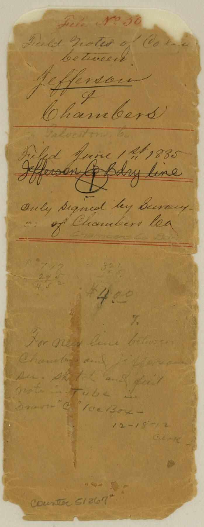
Chambers County Boundary File 50
[Field Notes of Co. lines between Jefferson & Chambers]
-
Map/Doc
51267
-
Collection
General Map Collection
-
Counties
Chambers
-
Subjects
County Boundaries
-
Height x Width
9.2 x 3.6 inches
23.4 x 9.1 cm
Part of: General Map Collection
Andrews County Sketch File 18

Print $12.00
- Digital $50.00
Andrews County Sketch File 18
Size 11.3 x 8.9 inches
Map/Doc 12907
Nacogdoches County Boundary File 1b

Print $20.00
- Digital $50.00
Nacogdoches County Boundary File 1b
Size 21.2 x 4.9 inches
Map/Doc 57580
Brewster County Rolled Sketch 81

Print $20.00
- Digital $50.00
Brewster County Rolled Sketch 81
Size 38.9 x 32.6 inches
Map/Doc 41812
Austin County Rolled Sketch 5B

Print $40.00
- Digital $50.00
Austin County Rolled Sketch 5B
Size 23.7 x 51.5 inches
Map/Doc 5107
Flight Mission No. BRE-2P, Frame 8, Nueces County

Print $20.00
- Digital $50.00
Flight Mission No. BRE-2P, Frame 8, Nueces County
1956
Size 18.7 x 22.6 inches
Map/Doc 86717
Gregg County Boundary File 1

Print $6.00
- Digital $50.00
Gregg County Boundary File 1
Size 10.0 x 7.9 inches
Map/Doc 53981
Trinity County Rolled Sketch 8

Print $20.00
- Digital $50.00
Trinity County Rolled Sketch 8
Size 44.2 x 35.4 inches
Map/Doc 83177
[Gonzales District]
![16837, [Gonzales District], General Map Collection](https://historictexasmaps.com/wmedia_w700/maps/16837.tif.jpg)
Print $20.00
- Digital $50.00
[Gonzales District]
1840
Size 42.8 x 37.0 inches
Map/Doc 16837
[F. W. & D. C. Ry. Co. Alignment and Right of Way Map, Clay County]
![64739, [F. W. & D. C. Ry. Co. Alignment and Right of Way Map, Clay County], General Map Collection](https://historictexasmaps.com/wmedia_w700/maps/64739-GC.tif.jpg)
Print $20.00
- Digital $50.00
[F. W. & D. C. Ry. Co. Alignment and Right of Way Map, Clay County]
1927
Size 18.6 x 11.7 inches
Map/Doc 64739
Reagan County

Print $40.00
- Digital $50.00
Reagan County
1940
Size 48.4 x 37.5 inches
Map/Doc 73270
Lynn County Rolled Sketch 13

Print $20.00
- Digital $50.00
Lynn County Rolled Sketch 13
1926
Size 18.6 x 24.4 inches
Map/Doc 6650
Intracoastal Waterway in Texas - Corpus Christi to Point Isabel including Arroyo Colorado to Mo. Pac. R.R. Bridge Near Harlingen

Print $20.00
- Digital $50.00
Intracoastal Waterway in Texas - Corpus Christi to Point Isabel including Arroyo Colorado to Mo. Pac. R.R. Bridge Near Harlingen
1934
Size 21.8 x 32.6 inches
Map/Doc 61888
You may also like
Dallas County Working Sketch 4

Print $20.00
- Digital $50.00
Dallas County Working Sketch 4
1935
Size 24.1 x 30.4 inches
Map/Doc 68570
La Salle County Rolled Sketch 14

Print $20.00
- Digital $50.00
La Salle County Rolled Sketch 14
Size 22.3 x 24.8 inches
Map/Doc 6577
Kimble County Sketch File 14

Print $26.00
- Digital $50.00
Kimble County Sketch File 14
1886
Size 14.1 x 8.6 inches
Map/Doc 28939
Nacogdoches County Working Sketch 7

Print $20.00
- Digital $50.00
Nacogdoches County Working Sketch 7
1962
Size 24.1 x 21.7 inches
Map/Doc 71223

Glasscock County

Print $20.00
- Digital $50.00
Glasscock County
1933
Size 47.0 x 39.2 inches
Map/Doc 1839
Sketch H No. V Showing the observed and computed Tidal Curves at Cat Island, Mississippi Sound in 1848 & 1849

Print $20.00
- Digital $50.00
Sketch H No. V Showing the observed and computed Tidal Curves at Cat Island, Mississippi Sound in 1848 & 1849
1852
Size 12.3 x 19.5 inches
Map/Doc 97226
[Map showing resurvey of Capitol Leagues, Hartley County, Texas]
![1760, [Map showing resurvey of Capitol Leagues, Hartley County, Texas], General Map Collection](https://historictexasmaps.com/wmedia_w700/maps/1760-1.tif.jpg)
Print $20.00
- Digital $50.00
[Map showing resurvey of Capitol Leagues, Hartley County, Texas]
1918
Size 30.6 x 47.8 inches
Map/Doc 1760
Aransas County Rolled Sketch 2

Print $20.00
- Digital $50.00
Aransas County Rolled Sketch 2
1950
Size 21.4 x 24.4 inches
Map/Doc 73615
St. L. S-W. Ry. of Texas Map of Lufkin Branch in Angelina County, Texas

Print $20.00
- Digital $50.00
St. L. S-W. Ry. of Texas Map of Lufkin Branch in Angelina County, Texas
1913
Size 24.0 x 12.1 inches
Map/Doc 64562
Zapata County Sketch File 3

Print $6.00
- Digital $50.00
Zapata County Sketch File 3
1883
Size 16.3 x 10.7 inches
Map/Doc 40904
Flight Mission No. DCL-7C, Frame 79, Kenedy County

Print $20.00
- Digital $50.00
Flight Mission No. DCL-7C, Frame 79, Kenedy County
1943
Size 15.2 x 15.2 inches
Map/Doc 86065