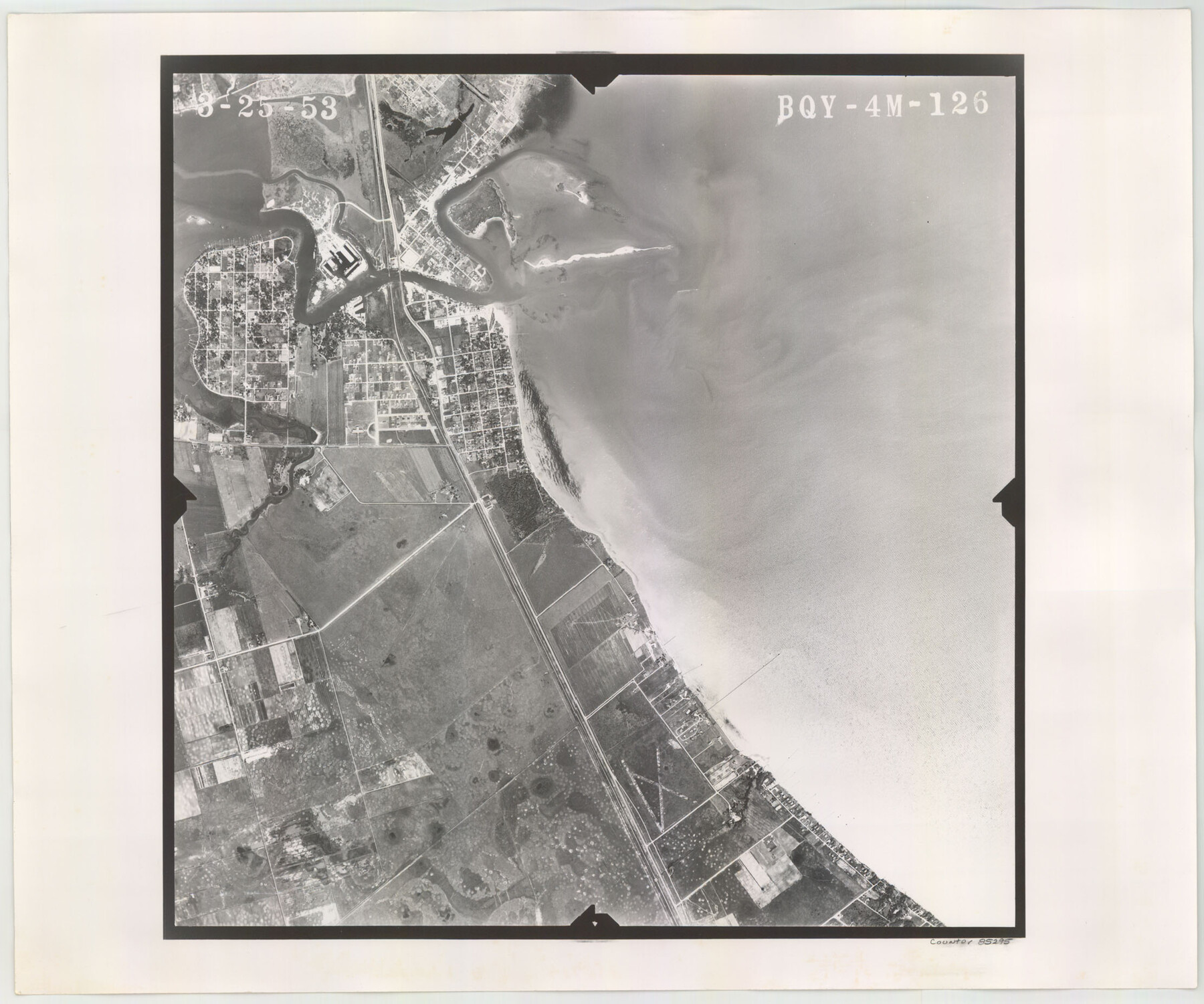
Flight Mission No. BQY-4M, Frame 126, Harris County
BQY-4M-126
-
Map/Doc
85295
-
Collection
General Map Collection
-
Object Dates
1953/3/25 (Creation Date)
-
People and Organizations
U. S. Department of Agriculture (Publisher)
-
Counties
Harris
-
Subjects
Aerial Photograph
-
Height x Width
18.5 x 22.2 inches
47.0 x 56.4 cm
-
Comments
Flown by Jack Ammann Photogrammetric Engineers of San Antonio, Texas.
Part of: General Map Collection
Nolan County Sketch File 20

Print $40.00
- Digital $50.00
Nolan County Sketch File 20
1954
Size 21.1 x 22.4 inches
Map/Doc 42168
Concho County Working Sketch 19

Print $20.00
- Digital $50.00
Concho County Working Sketch 19
1957
Size 27.3 x 24.9 inches
Map/Doc 68201
Hudspeth County Sketch File 10

Print $4.00
- Digital $50.00
Hudspeth County Sketch File 10
1900
Size 11.2 x 8.8 inches
Map/Doc 26899
Wise County Sketch File 51

Print $2.00
- Digital $50.00
Wise County Sketch File 51
Size 8.5 x 3.9 inches
Map/Doc 40618
United States - Gulf Coast Texas - Northern part of Laguna Madre

Print $20.00
- Digital $50.00
United States - Gulf Coast Texas - Northern part of Laguna Madre
1941
Size 26.7 x 18.4 inches
Map/Doc 72933
Flight Mission No. CGI-1N, Frame 177, Cameron County

Print $20.00
- Digital $50.00
Flight Mission No. CGI-1N, Frame 177, Cameron County
1955
Size 18.5 x 17.6 inches
Map/Doc 84512
Harris County Historic Topographic C

Print $20.00
- Digital $50.00
Harris County Historic Topographic C
1916
Size 25.5 x 19.1 inches
Map/Doc 65851
Map of Anderson County

Print $20.00
- Digital $50.00
Map of Anderson County
1895
Size 40.9 x 45.4 inches
Map/Doc 4784
Franklin County Sketch File 16

Print $6.00
- Digital $50.00
Franklin County Sketch File 16
Size 13.2 x 8.2 inches
Map/Doc 23023
Van Zandt County Sketch File 13

Print $4.00
- Digital $50.00
Van Zandt County Sketch File 13
1858
Size 10.6 x 8.2 inches
Map/Doc 39402
Flight Mission No. BRE-1P, Frame 31, Nueces County

Print $20.00
- Digital $50.00
Flight Mission No. BRE-1P, Frame 31, Nueces County
1956
Size 18.0 x 21.6 inches
Map/Doc 86627
Clay County Working Sketch 6

Print $20.00
- Digital $50.00
Clay County Working Sketch 6
1923
Size 30.0 x 24.1 inches
Map/Doc 68029
You may also like
Flight Mission No. DCL-7C, Frame 111, Kenedy County

Print $20.00
- Digital $50.00
Flight Mission No. DCL-7C, Frame 111, Kenedy County
1943
Size 18.5 x 22.3 inches
Map/Doc 86076
Brazoria County Working Sketch 17

Print $20.00
- Digital $50.00
Brazoria County Working Sketch 17
1948
Size 17.0 x 19.0 inches
Map/Doc 67502
Right of Way and Track Map Texas & New Orleans R.R. Co. operated by the T. & N. O. R.R. Co. Dallas-Sabine Branch

Print $40.00
- Digital $50.00
Right of Way and Track Map Texas & New Orleans R.R. Co. operated by the T. & N. O. R.R. Co. Dallas-Sabine Branch
1918
Size 26.4 x 56.7 inches
Map/Doc 64154
Real County Working Sketch 59

Print $20.00
- Digital $50.00
Real County Working Sketch 59
1962
Size 27.4 x 40.7 inches
Map/Doc 71951
Wilbarger County Sketch File 19

Print $4.00
- Digital $50.00
Wilbarger County Sketch File 19
1887
Size 14.2 x 8.7 inches
Map/Doc 40215
Jasper County Working Sketch 19

Print $20.00
- Digital $50.00
Jasper County Working Sketch 19
1939
Size 15.8 x 15.8 inches
Map/Doc 66481
Brazoria County Working Sketch 42

Print $20.00
- Digital $50.00
Brazoria County Working Sketch 42
1984
Size 43.5 x 47.1 inches
Map/Doc 67527
Terry County Rolled Sketch 9

Print $20.00
- Digital $50.00
Terry County Rolled Sketch 9
Size 23.8 x 23.9 inches
Map/Doc 7983
Wichita County Rolled Sketch 18

Print $20.00
- Digital $50.00
Wichita County Rolled Sketch 18
1924
Size 30.0 x 40.5 inches
Map/Doc 8253
Map of Red River County

Print $20.00
- Digital $50.00
Map of Red River County
1856
Size 22.2 x 18.4 inches
Map/Doc 3981
Pecos County, 1917

Print $20.00
- Digital $50.00
Pecos County, 1917
1917
Size 40.5 x 47.4 inches
Map/Doc 89707
Bandera County Working Sketch 58

Print $20.00
- Digital $50.00
Bandera County Working Sketch 58
2001
Size 34.9 x 36.7 inches
Map/Doc 67654