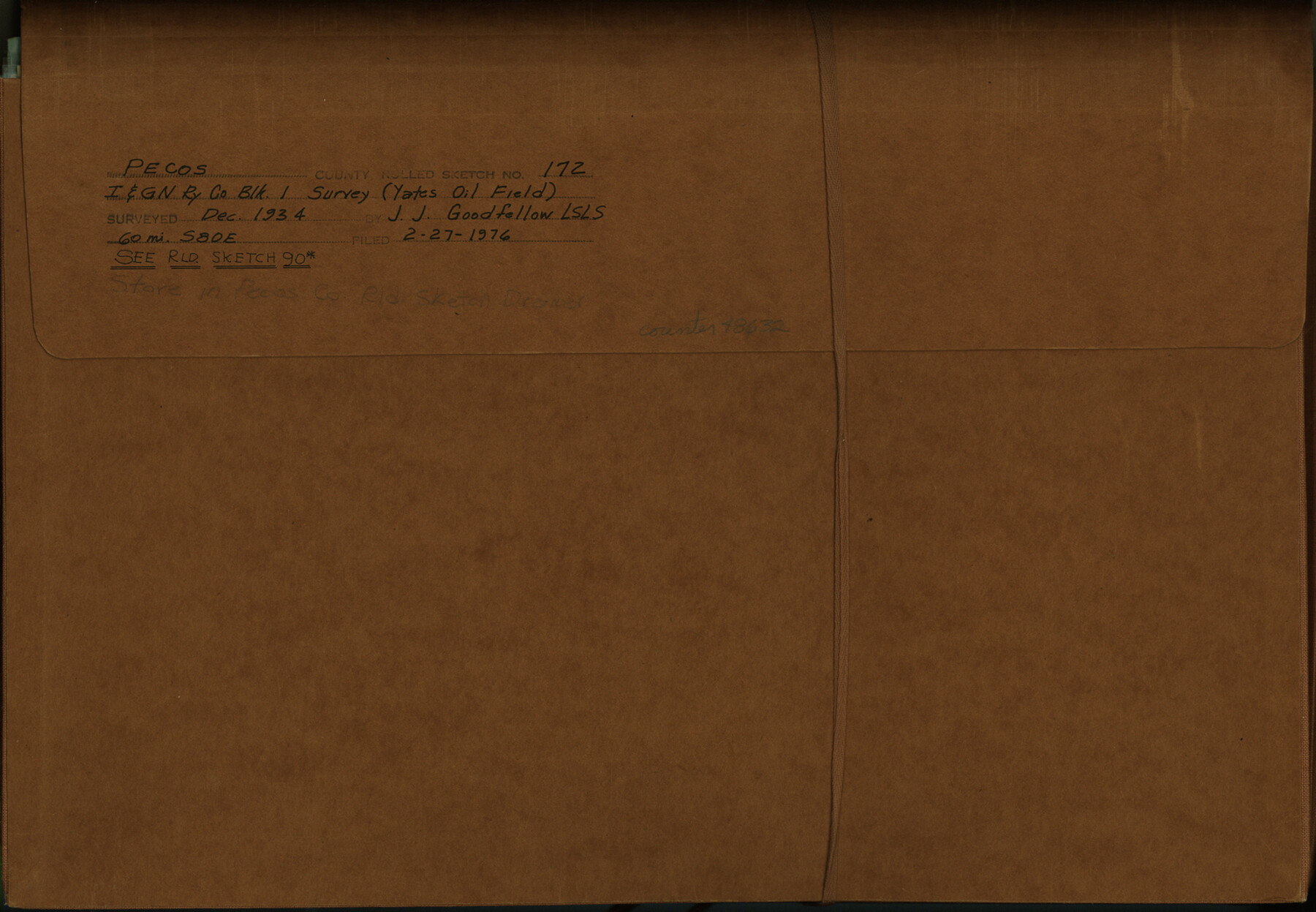
Pecos County Rolled Sketch 172
Report on Physiography of "Two Islands and a Ripple" located near NE corner of section 63, Block 1, I. & G. N. R.R. Co. survey (plus additional correspondence and exhibits)
-
Map/Doc
48632
-
Collection
General Map Collection
-
Object Dates
1934 (Survey Date)
1976/2/27 (File Date)
-
People and Organizations
J.J. Goodfellow (Surveyor/Engineer)
H.L. George (Surveyor/Engineer)
-
Counties
Pecos
-
Subjects
Surveying Rolled Sketch
-
Height x Width
10.4 x 15.0 inches
26.4 x 38.1 cm
-
Medium
multi-page, multi-format
-
Comments
See Pecos County Rolled Sketch 90 (7245) for related sketch.
Related maps
Pecos County Rolled Sketch 90

Print $20.00
- Digital $50.00
Pecos County Rolled Sketch 90
1934
Size 26.7 x 33.9 inches
Map/Doc 7245
Pecos County Rolled Sketch 90A

Print $20.00
- Digital $50.00
Pecos County Rolled Sketch 90A
1934
Size 27.0 x 31.1 inches
Map/Doc 7246
Part of: General Map Collection

Coast Chart No. 208 - Pass Cavallo, Lavaca and San Antonio Bays, Texas

Print $20.00
- Digital $50.00
Coast Chart No. 208 - Pass Cavallo, Lavaca and San Antonio Bays, Texas
1888
Size 43.9 x 35.7 inches
Map/Doc 73376
Flight Mission No. BRA-7M, Frame 85, Jefferson County

Print $20.00
- Digital $50.00
Flight Mission No. BRA-7M, Frame 85, Jefferson County
1953
Size 18.7 x 22.4 inches
Map/Doc 85507
Denton County Working Sketch Graphic Index

Print $20.00
- Digital $50.00
Denton County Working Sketch Graphic Index
1947
Size 41.5 x 38.5 inches
Map/Doc 76521
Comanche County Sketch File 18

Print $4.00
- Digital $50.00
Comanche County Sketch File 18
Size 8.4 x 7.8 inches
Map/Doc 19091
Tom Green County Rolled Sketch 5

Print $20.00
- Digital $50.00
Tom Green County Rolled Sketch 5
1947
Size 44.9 x 35.0 inches
Map/Doc 9997
Flight Mission No. CGI-3N, Frame 70, Cameron County

Print $20.00
- Digital $50.00
Flight Mission No. CGI-3N, Frame 70, Cameron County
1954
Size 18.7 x 22.3 inches
Map/Doc 84564
Castro County Sketch File 5

Print $20.00
- Digital $50.00
Castro County Sketch File 5
Size 37.6 x 25.3 inches
Map/Doc 11058
Presidio County Rolled Sketch 130

Print $40.00
- Digital $50.00
Presidio County Rolled Sketch 130
1993
Size 33.6 x 49.1 inches
Map/Doc 9800
Stonewall County Sketch File 12A

Print $20.00
- Digital $50.00
Stonewall County Sketch File 12A
Size 25.6 x 17.4 inches
Map/Doc 12364
Sutton County Sketch File H

Print $22.00
- Digital $50.00
Sutton County Sketch File H
Size 14.3 x 8.7 inches
Map/Doc 37400
Brazoria County Working Sketch 4

Print $20.00
- Digital $50.00
Brazoria County Working Sketch 4
1920
Size 20.4 x 28.6 inches
Map/Doc 67489
You may also like
Aransas County Working Sketch 15

Print $20.00
- Digital $50.00
Aransas County Working Sketch 15
1956
Size 22.2 x 19.0 inches
Map/Doc 67182
Texas Gulf Coast, from the Sabine River to the Rio Grande as Subdivided for Mineral Development; Matagorda, Calhoun and Aransas Counties

Print $40.00
- Digital $50.00
Texas Gulf Coast, from the Sabine River to the Rio Grande as Subdivided for Mineral Development; Matagorda, Calhoun and Aransas Counties
1976
Size 43.0 x 90.9 inches
Map/Doc 1939
Fort Bend County Sketch File 11a

Print $34.00
- Digital $50.00
Fort Bend County Sketch File 11a
1888
Size 14.3 x 9.1 inches
Map/Doc 22901

Newton County Rolled Sketch 15

Print $20.00
- Digital $50.00
Newton County Rolled Sketch 15
1953
Size 26.0 x 43.7 inches
Map/Doc 6845
[Map of a portion of Bexar and Travis Districts]
![16943, [Map of a portion of Bexar and Travis Districts], General Map Collection](https://historictexasmaps.com/wmedia_w700/maps/16943.tif.jpg)
Print $20.00
- Digital $50.00
[Map of a portion of Bexar and Travis Districts]
Size 47.5 x 47.2 inches
Map/Doc 16943
Rand McNally Standard Map of Texas

Print $20.00
Rand McNally Standard Map of Texas
1923
Size 27.6 x 40.3 inches
Map/Doc 76261
Duval County Sketch File 15

Print $4.00
- Digital $50.00
Duval County Sketch File 15
Size 12.0 x 9.0 inches
Map/Doc 21309
Hamilton County

Print $20.00
- Digital $50.00
Hamilton County
1898
Size 35.3 x 42.5 inches
Map/Doc 66849
Jasper County Rolled Sketch 1

Print $20.00
- Digital $50.00
Jasper County Rolled Sketch 1
Size 11.1 x 18.0 inches
Map/Doc 6347
Walker County Working Sketch Graphic Index

Print $20.00
- Digital $50.00
Walker County Working Sketch Graphic Index
1944
Size 43.3 x 36.8 inches
Map/Doc 76729
Flight Mission No. BRA-8M, Frame 145, Jefferson County

Print $20.00
- Digital $50.00
Flight Mission No. BRA-8M, Frame 145, Jefferson County
1953
Size 16.0 x 15.9 inches
Map/Doc 85637