Waller County Sketch File 9
[Sketch of surveys in the north part of Waller County and extending into Harris and Grimes Counties]
-
Map/Doc
39610
-
Collection
General Map Collection
-
Counties
Waller Grimes Harris
-
Subjects
Surveying Sketch File
-
Height x Width
9.1 x 7.8 inches
23.1 x 19.8 cm
-
Medium
paper, manuscript
-
Features
Beazon's Creek
Spring Creek
Fishpond Creek
Part of: General Map Collection
Hopkins County

Print $20.00
- Digital $50.00
Hopkins County
1942
Size 39.6 x 37.6 inches
Map/Doc 77315
Wharton County Working Sketch 12

Print $20.00
- Digital $50.00
Wharton County Working Sketch 12
Size 22.3 x 30.3 inches
Map/Doc 72476
[Atlas A, Table of Contents, part 1]
![78351, [Atlas A, Table of Contents, part 1], General Map Collection](https://historictexasmaps.com/wmedia_w700/maps/78351.tif.jpg)
Print $20.00
- Digital $50.00
[Atlas A, Table of Contents, part 1]
Size 14.5 x 15.0 inches
Map/Doc 78351
Refugio County Working Sketch 14

Print $4.00
- Digital $50.00
Refugio County Working Sketch 14
Size 25.7 x 21.7 inches
Map/Doc 63523
Presidio County Rolled Sketch 115

Print $20.00
- Digital $50.00
Presidio County Rolled Sketch 115
1980
Size 19.3 x 22.2 inches
Map/Doc 7391

Texas-United States Boundary Line 3

Print $40.00
- Digital $50.00
Texas-United States Boundary Line 3
Size 54.6 x 10.5 inches
Map/Doc 74979

Map of Surveys Made for the T&PRRCo in Howard, Mitchell & Tom Green Counties, Blocks 27, 28, 29, 30, 31, 32 & 33, Reserve West of the Colorado

Print $40.00
- Digital $50.00
Map of Surveys Made for the T&PRRCo in Howard, Mitchell & Tom Green Counties, Blocks 27, 28, 29, 30, 31, 32 & 33, Reserve West of the Colorado
1876
Size 42.0 x 51.0 inches
Map/Doc 2228
Flight Mission No. BRA-6M, Frame 88, Jefferson County

Print $20.00
- Digital $50.00
Flight Mission No. BRA-6M, Frame 88, Jefferson County
1953
Size 18.4 x 22.4 inches
Map/Doc 85431
Montgomery County Working Sketch 6

Print $20.00
- Digital $50.00
Montgomery County Working Sketch 6
1932
Size 24.8 x 32.2 inches
Map/Doc 71112
Map of the country adjacent to the left bank of the Rio Grande below Matamoros

Print $20.00
- Digital $50.00
Map of the country adjacent to the left bank of the Rio Grande below Matamoros
1847
Size 18.3 x 27.5 inches
Map/Doc 72870
You may also like
Colton's Map of United States, the Canadas & c. showing the Railraods, Canals & Stage Roads with distances from place to place

Print $20.00
- Digital $50.00
Colton's Map of United States, the Canadas & c. showing the Railraods, Canals & Stage Roads with distances from place to place
Size 28.8 x 33.0 inches
Map/Doc 93983
[Map Showing Surveys in Liberty, Chambers and Harris Counties, Texas]
![75768, [Map Showing Surveys in Liberty, Chambers and Harris Counties, Texas], Maddox Collection](https://historictexasmaps.com/wmedia_w700/maps/75768.tif.jpg)
Print $20.00
- Digital $50.00
[Map Showing Surveys in Liberty, Chambers and Harris Counties, Texas]
1890
Size 16.1 x 21.1 inches
Map/Doc 75768
Bexar County Sketch File 59

Print $4.00
- Digital $50.00
Bexar County Sketch File 59
Size 10.2 x 8.1 inches
Map/Doc 14576
Connected Map of Austin's Colony

Print $20.00
- Digital $50.00
Connected Map of Austin's Colony
1892
Size 47.5 x 43.0 inches
Map/Doc 76074
Brewster County Sketch File N-29

Print $6.00
- Digital $50.00
Brewster County Sketch File N-29
1969
Size 14.1 x 8.8 inches
Map/Doc 15705
Go Turnpike! Dallas-Fort Worth Turnpike (Verso)

Go Turnpike! Dallas-Fort Worth Turnpike (Verso)
1963
Size 11.2 x 17.2 inches
Map/Doc 94178
General Highway Map, Winkler County, Texas

Print $20.00
General Highway Map, Winkler County, Texas
1961
Size 18.2 x 24.8 inches
Map/Doc 79716
El Paso County Sketch File 4

Print $20.00
- Digital $50.00
El Paso County Sketch File 4
1885
Size 17.1 x 28.3 inches
Map/Doc 11449
Flight Mission No. BQY-15M, Frame 22, Harris County

Print $20.00
- Digital $50.00
Flight Mission No. BQY-15M, Frame 22, Harris County
1953
Size 18.6 x 22.3 inches
Map/Doc 85320
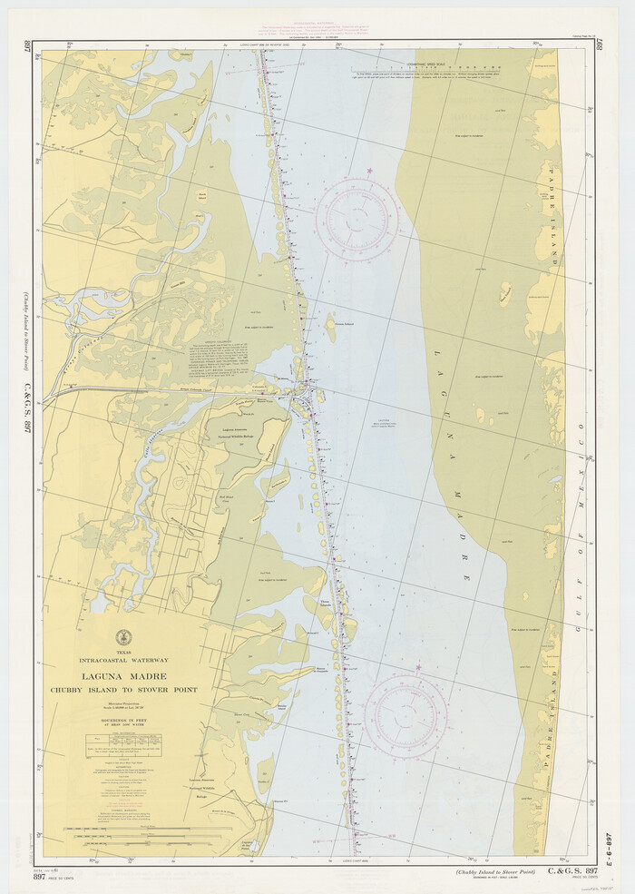
Texas Intracoastal Waterway - Laguna Madre - Rincon de San Jose to Chubby Island
Print $20.00
- Digital $50.00
Texas Intracoastal Waterway - Laguna Madre - Rincon de San Jose to Chubby Island
1961
Size 38.7 x 27.5 inches
Map/Doc 73515
Duval County Working Sketch 57

Print $6.00
- Digital $50.00
Duval County Working Sketch 57
1990
Size 30.3 x 25.4 inches
Map/Doc 68781
La Salle County Working Sketch 31

Print $20.00
- Digital $50.00
La Salle County Working Sketch 31
1955
Size 25.0 x 27.8 inches
Map/Doc 70332