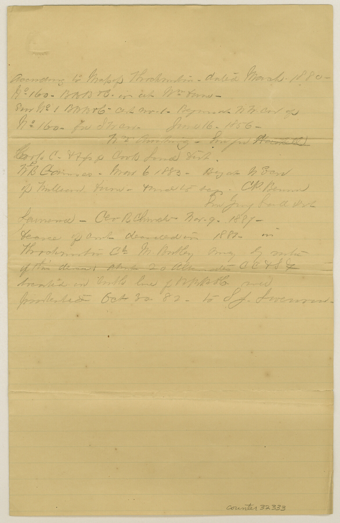
Navarro County Sketch File 17
[Report on miscellaneous surveys]
-
Map/Doc
32333
-
Collection
General Map Collection
-
Counties
Navarro
-
Subjects
Surveying Sketch File
-
Height x Width
12.8 x 8.4 inches
32.5 x 21.3 cm
-
Medium
paper, manuscript
Part of: General Map Collection
Hays County Boundary File 2

Print $40.00
- Digital $50.00
Hays County Boundary File 2
Size 6.9 x 26.1 inches
Map/Doc 54593

Current Miscellaneous File 110

Print $62.00
- Digital $50.00
Current Miscellaneous File 110
1972
Size 11.1 x 8.8 inches
Map/Doc 74713
Potter County Sketch File 2

Print $20.00
- Digital $50.00
Potter County Sketch File 2
1887
Size 29.3 x 39.4 inches
Map/Doc 10573
Kleberg County Rolled Sketch 10-12

Print $20.00
- Digital $50.00
Kleberg County Rolled Sketch 10-12
1951
Size 38.8 x 34.9 inches
Map/Doc 9371
Controlled Mosaic by Jack Amman Photogrammetric Engineers, Inc - Sheet 31

Print $20.00
- Digital $50.00
Controlled Mosaic by Jack Amman Photogrammetric Engineers, Inc - Sheet 31
1954
Size 20.0 x 24.0 inches
Map/Doc 83484
Stonewall County Rolled Sketch 28

Print $20.00
- Digital $50.00
Stonewall County Rolled Sketch 28
Size 42.8 x 46.5 inches
Map/Doc 9967
Matagorda County Working Sketch 16

Print $20.00
- Digital $50.00
Matagorda County Working Sketch 16
1960
Size 34.6 x 31.8 inches
Map/Doc 70874
Flight Mission No. BRA-16M, Frame 76, Jefferson County

Print $20.00
- Digital $50.00
Flight Mission No. BRA-16M, Frame 76, Jefferson County
1953
Size 18.6 x 22.3 inches
Map/Doc 85693
Copy of Surveyor's Field Book, Morris Browning - In Blocks 7, 5 & 4, I&GNRRCo., Hutchinson and Carson Counties, Texas

Print $2.00
- Digital $50.00
Copy of Surveyor's Field Book, Morris Browning - In Blocks 7, 5 & 4, I&GNRRCo., Hutchinson and Carson Counties, Texas
1888
Size 7.0 x 8.8 inches
Map/Doc 62286

Runnels County Sketch File 10

Print $46.00
Runnels County Sketch File 10
1882
Size 7.3 x 8.2 inches
Map/Doc 35445
You may also like
Working Sketch, Bastrop County

Print $3.00
- Digital $50.00
Working Sketch, Bastrop County
1923
Size 10.1 x 15.3 inches
Map/Doc 90113
Duval County Sketch File 8c

Print $4.00
- Digital $50.00
Duval County Sketch File 8c
1875
Size 10.9 x 8.6 inches
Map/Doc 21300
A sketch of surveys made on the coast east of Bolivar Point

Print $20.00
- Digital $50.00
A sketch of surveys made on the coast east of Bolivar Point
1841
Size 9.1 x 22.0 inches
Map/Doc 22
Crockett County Working Sketch 63

Print $20.00
- Digital $50.00
Crockett County Working Sketch 63
1957
Size 21.3 x 36.1 inches
Map/Doc 68396
Milam County Sketch File 8

Print $20.00
- Digital $50.00
Milam County Sketch File 8
1856
Size 16.8 x 33.7 inches
Map/Doc 12091
Val Verde County Working Sketch 58

Print $20.00
- Digital $50.00
Val Verde County Working Sketch 58
1958
Size 21.0 x 22.8 inches
Map/Doc 72193
Bell County Working Sketch 7

Print $20.00
- Digital $50.00
Bell County Working Sketch 7
1947
Size 43.7 x 34.9 inches
Map/Doc 67347
Angelina County Sketch File 7

Print $40.00
- Digital $50.00
Angelina County Sketch File 7
1858
Size 15.5 x 35.8 inches
Map/Doc 10812
Sulphur River, Boxelder Sheet/Cuthand Creek

Print $20.00
- Digital $50.00
Sulphur River, Boxelder Sheet/Cuthand Creek
1922
Size 29.5 x 25.1 inches
Map/Doc 65156
Alamo Defenders Heritage Map of Texas

Print $20.00
Alamo Defenders Heritage Map of Texas
2025
Size 36.0 x 24.0 inches
Map/Doc 97433
Map of Brazoria County

Print $20.00
- Digital $50.00
Map of Brazoria County
1883
Size 26.8 x 25.6 inches
Map/Doc 861
Red River Co.

Print $40.00
- Digital $50.00
Red River Co.
1897
Size 48.0 x 39.4 inches
Map/Doc 66993