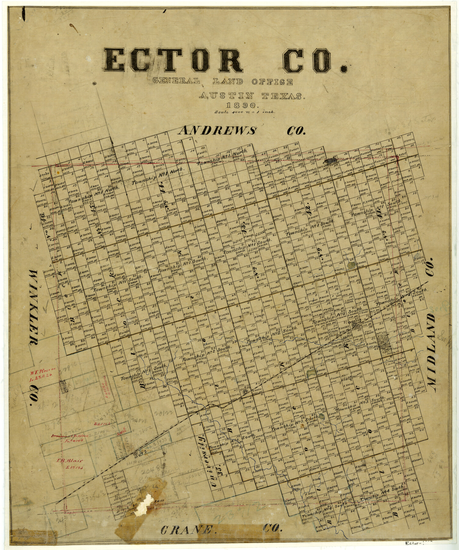
Ector County
-
Map/Doc
3503
-
Collection
General Map Collection
-
Object Dates
1890 (Creation Date)
-
People and Organizations
Texas General Land Office (Publisher)
-
Counties
Ector
-
Subjects
County
-
Height x Width
23.0 x 19.2 inches
58.4 x 48.8 cm
-
Features
Odessa
Douro
Metz
T&P
Part of: General Map Collection
Sulphur River, Bassett Sheet

Print $20.00
- Digital $50.00
Sulphur River, Bassett Sheet
1939
Size 25.3 x 32.0 inches
Map/Doc 78320
Baie de Galvez-Town

Print $20.00
- Digital $50.00
Baie de Galvez-Town
Size 10.3 x 12.9 inches
Map/Doc 95832
Morris County Rolled Sketch 2A

Print $20.00
- Digital $50.00
Morris County Rolled Sketch 2A
Size 36.0 x 25.0 inches
Map/Doc 10236
San Antonio & Aransas Pass R.R. Right of Way from Eagle Lake to Brazos River

Print $20.00
- Digital $50.00
San Antonio & Aransas Pass R.R. Right of Way from Eagle Lake to Brazos River
1895
Size 29.7 x 13.0 inches
Map/Doc 64257
Pecos County Rolled Sketch 100

Print $20.00
- Digital $50.00
Pecos County Rolled Sketch 100
1936
Size 45.2 x 25.2 inches
Map/Doc 9712
Austin Map and Street Guide [Recto]
![94162, Austin Map and Street Guide [Recto], General Map Collection](https://historictexasmaps.com/wmedia_w700/maps/94162.tif.jpg)
Austin Map and Street Guide [Recto]
1976
Size 35.4 x 22.7 inches
Map/Doc 94162
Montgomery County Rolled Sketch 42

Print $20.00
- Digital $50.00
Montgomery County Rolled Sketch 42
1939
Size 14.0 x 20.1 inches
Map/Doc 6821
Bowie County Sketch File 8e

Print $12.00
- Digital $50.00
Bowie County Sketch File 8e
1928
Size 8.0 x 5.2 inches
Map/Doc 14896
Map of Grimes County

Print $20.00
- Digital $50.00
Map of Grimes County
1881
Size 29.9 x 16.3 inches
Map/Doc 3606
Webb County Working Sketch 37

Print $20.00
- Digital $50.00
Webb County Working Sketch 37
1940
Size 25.0 x 20.4 inches
Map/Doc 72402

Andrews County Sketch File 8

Print $36.00
- Digital $50.00
Andrews County Sketch File 8
1943
Size 11.2 x 8.9 inches
Map/Doc 12831
You may also like
Aransas County NRC Article 33.136 Sketch 15

Print $42.00
- Digital $50.00
Aransas County NRC Article 33.136 Sketch 15
Size 24.0 x 36.0 inches
Map/Doc 95316
Duval County Rolled Sketch 30

Print $20.00
- Digital $50.00
Duval County Rolled Sketch 30
1947
Size 15.8 x 27.8 inches
Map/Doc 5747
Cameron County Working Sketch 3

Print $20.00
- Digital $50.00
Cameron County Working Sketch 3
1964
Size 40.8 x 38.6 inches
Map/Doc 67882

Red River County Working Sketch 73

Print $20.00
- Digital $50.00
Red River County Working Sketch 73
1979
Size 17.0 x 19.2 inches
Map/Doc 72056
Flight Mission No. DIX-10P, Frame 152, Aransas County

Print $20.00
- Digital $50.00
Flight Mission No. DIX-10P, Frame 152, Aransas County
1956
Size 18.6 x 22.2 inches
Map/Doc 83954
Map of Fayette County

Print $20.00
- Digital $50.00
Map of Fayette County
1843
Size 21.9 x 26.7 inches
Map/Doc 3537
Upshur County Sketch File 18

Print $39.00
- Digital $50.00
Upshur County Sketch File 18
Size 11.4 x 8.9 inches
Map/Doc 38773
Garza County Sketch File D1

Print $20.00
- Digital $50.00
Garza County Sketch File D1
1901
Size 14.9 x 27.3 inches
Map/Doc 11551
Uvalde County Sketch File 24

Print $42.00
- Digital $50.00
Uvalde County Sketch File 24
1926
Size 19.4 x 29.9 inches
Map/Doc 12536
Gaines County Working Sketch 12

Print $20.00
- Digital $50.00
Gaines County Working Sketch 12
1954
Size 27.1 x 37.0 inches
Map/Doc 69312
Cass County Working Sketch 47b

Print $20.00
- Digital $50.00
Cass County Working Sketch 47b
1992
Size 32.3 x 36.4 inches
Map/Doc 76063