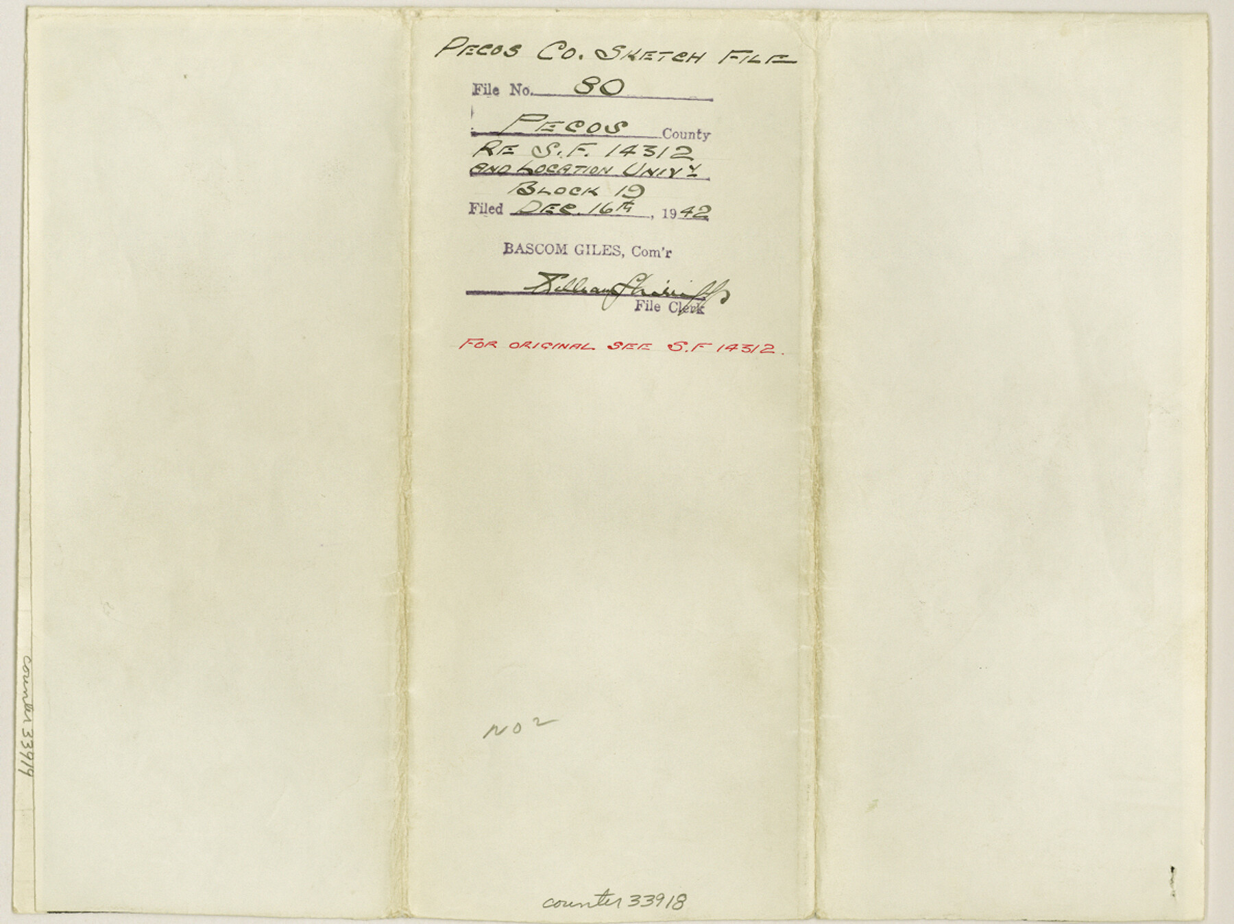
Pecos County Sketch File 80
[Statement regarding SF-14312 and location of University Block 19]
-
Map/Doc
33918
-
Collection
General Map Collection
-
Object Dates
1880 (Survey Date)
1942/12/16 (Creation Date)
1942/12/16 (File Date)
1942/12/16 (Correspondence Date)
-
People and Organizations
Captain Walsh (Surveyor/Engineer)
Maurice Moore (Surveyor/Engineer)
Bascom Giles (GLO Commissioner)
Thomson (Surveyor/Engineer)
-
Counties
Pecos
-
Subjects
Surveying Sketch File
-
Height x Width
8.9 x 11.9 inches
22.6 x 30.2 cm
-
Medium
photostat, negative
-
Features
Eastern Escondido Springs
Middle Escondido Springs
Western Escondido Springs
Part of: General Map Collection
Maps of Gulf Intracoastal Waterway, Texas - Sabine River to the Rio Grande and connecting waterways including ship channels

Print $20.00
- Digital $50.00
Maps of Gulf Intracoastal Waterway, Texas - Sabine River to the Rio Grande and connecting waterways including ship channels
1966
Size 14.6 x 21.0 inches
Map/Doc 61988
Aransas County Sketch File 30

Print $74.00
- Digital $50.00
Aransas County Sketch File 30
Size 14.2 x 8.7 inches
Map/Doc 13237
University Lands Blocks 21 to 26, Pecos County, Texas

Print $20.00
- Digital $50.00
University Lands Blocks 21 to 26, Pecos County, Texas
1939
Size 46.1 x 36.8 inches
Map/Doc 2416
Denton County Working Sketch 14

Print $40.00
- Digital $50.00
Denton County Working Sketch 14
1962
Size 60.5 x 36.3 inches
Map/Doc 68619
Duval County Working Sketch 32

Print $20.00
- Digital $50.00
Duval County Working Sketch 32
1950
Size 18.8 x 18.0 inches
Map/Doc 68756
Flight Mission No. BRA-8M, Frame 74, Jefferson County

Print $20.00
- Digital $50.00
Flight Mission No. BRA-8M, Frame 74, Jefferson County
1953
Size 18.6 x 22.2 inches
Map/Doc 85594
Flight Mission No. CRC-3R, Frame 27, Chambers County

Print $20.00
- Digital $50.00
Flight Mission No. CRC-3R, Frame 27, Chambers County
1956
Size 18.7 x 22.3 inches
Map/Doc 84801
Wichita County Working Sketch 17

Print $20.00
- Digital $50.00
Wichita County Working Sketch 17
1940
Size 25.6 x 26.1 inches
Map/Doc 72527

Crockett County Sketch File 8 (1)

Print $6.00
- Digital $50.00
Crockett County Sketch File 8 (1)
1858
Size 9.8 x 4.6 inches
Map/Doc 19652
Mills County Working Sketch 17

Print $20.00
- Digital $50.00
Mills County Working Sketch 17
1963
Size 20.4 x 17.9 inches
Map/Doc 71047
Parker County Boundary File 1

Print $6.00
- Digital $50.00
Parker County Boundary File 1
Size 11.2 x 8.7 inches
Map/Doc 57833
You may also like
Newton County Sketch File 25

Print $4.00
- Digital $50.00
Newton County Sketch File 25
Size 7.8 x 8.3 inches
Map/Doc 32407
Freestone County Rolled Sketch 1

Print $20.00
- Digital $50.00
Freestone County Rolled Sketch 1
1947
Size 28.1 x 26.0 inches
Map/Doc 5909
Map of SW portion of Hale Co., Texas

Print $3.00
- Digital $50.00
Map of SW portion of Hale Co., Texas
Size 12.7 x 10.8 inches
Map/Doc 518
Randall County Sketch File 12

Print $6.00
- Digital $50.00
Randall County Sketch File 12
1945
Size 11.3 x 8.9 inches
Map/Doc 34976
Schleicher County

Print $20.00
- Digital $50.00
Schleicher County
1898
Size 23.1 x 36.3 inches
Map/Doc 615
College Heights a Subdivision of Outlots 8-9 and 62, Division B, Austin, Texas

Print $20.00
- Digital $50.00
College Heights a Subdivision of Outlots 8-9 and 62, Division B, Austin, Texas
Size 18.5 x 14.9 inches
Map/Doc 83429
The Texas Co-Ordinate System, Title 86 Article 5300A.

Print $20.00
- Digital $50.00
The Texas Co-Ordinate System, Title 86 Article 5300A.
Size 30.8 x 28.4 inches
Map/Doc 92824
Victoria County Rolled Sketch 9

Print $20.00
- Digital $50.00
Victoria County Rolled Sketch 9
Size 24.1 x 36.2 inches
Map/Doc 95399
Angelina County, Texas

Print $20.00
- Digital $50.00
Angelina County, Texas
1879
Size 21.8 x 28.0 inches
Map/Doc 687
El Paso County Working Sketch 30

Print $40.00
- Digital $50.00
El Paso County Working Sketch 30
1967
Size 32.0 x 65.8 inches
Map/Doc 69052
Upton County Rolled Sketch 52

Print $20.00
- Digital $50.00
Upton County Rolled Sketch 52
Size 24.5 x 29.2 inches
Map/Doc 8087
The Republic County of Bexar. Spring 1842

Print $20.00
The Republic County of Bexar. Spring 1842
2020
Size 14.7 x 21.7 inches
Map/Doc 96100