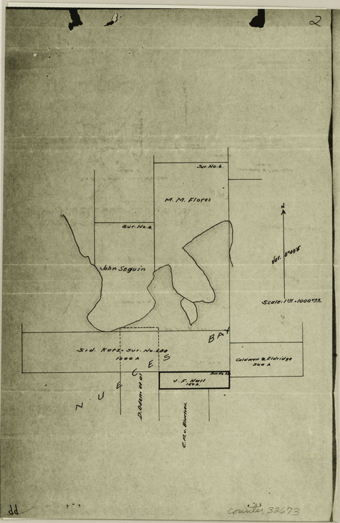
Nueces County Sketch File 50
[Photostats of field notes and sketches from Mineral Files]
-
Map/Doc
32673
-
Collection
General Map Collection
-
Object Dates
6/23/1914 (Survey Date)
7/13/1915 (Survey Date)
7/25/1915 (Survey Date)
3/25/1915 (Survey Date)
2/9/1915 (Survey Date)
3/2/1915 (Survey Date)
2/27/1915 (Survey Date)
2/15/1915 (Survey Date)
3/7/1915 (Survey Date)
5/7/1915 (Survey Date)
1/16/1915 (Survey Date)
2/6/1940 (Survey Date)
1/4/1940 (Survey Date)
1/6/1983 (File Date)
6/23/1915 (Survey Date)
3/11/1915 (Survey Date)
2/2/1915 (Survey Date)
1/13/1915 (Survey Date)
5/10/1915 (Survey Date)
4/2/1915 (Survey Date)
3/30/1915 (Survey Date)
6/22/1914 (Survey Date)
4/26/1915 (Survey Date)
3/9/1915 (Survey Date)
2/13/1915 (Survey Date)
1/26/1915 (Survey Date)
-
People and Organizations
C.F.H. von Blucher (Surveyor/Engineer)
Charles Weidenmueller (Chainman/Field Personnel)
Harris Peters (Chainman/Field Personnel)
Garnett Menger (Chainman/Field Personnel)
John Pons (Chainman/Field Personnel)
William Cody (Chainman/Field Personnel)
James Koniskowski (Chainman/Field Personnel)
W.R. Sparkman (Chainman/Field Personnel)
Robert Dunlap (Chainman/Field Personnel)
Howard Williams (Chainman/Field Personnel)
Nick Rossi (Chainman/Field Personnel)
Jesse Wright (Chainman/Field Personnel)
Conrad M. Blucher (Surveyor/Engineer)
William S. Gray (Chainman/Field Personnel)
-
Counties
Nueces San Patricio
-
Subjects
Surveying Sketch File
-
Height x Width
9.6 x 6.2 inches
24.4 x 15.8 cm
-
Medium
photostat
-
Features
St. Joseph's Island
Padre Island
Turtle Island
Mustang Island
Gulf of Mexico
Flour Bluff
Flour Bluff Peninsula
Dimmit's Island
Laguna Madre
Oso Creek
Oso Bay
Guffey Well
Aransas Pass & Dock Company Channel
Harbor Island
Nueces Bay
Corpus Christi
White Point
Indian Point
Dagger Point
Ransom's Island
Red Fish Bay
Steadman Island
Hog Island
Aransas Pass
Nueces River
Corpus Christi Bay
SA&AP
Portland
Part of: General Map Collection
El Paso County Boundary File 1

Print $48.00
- Digital $50.00
El Paso County Boundary File 1
Size 12.3 x 35.0 inches
Map/Doc 53015
Upton County Rolled Sketch 57

Print $20.00
- Digital $50.00
Upton County Rolled Sketch 57
Size 30.1 x 41.8 inches
Map/Doc 8090
Right of Way and Track Map, the Missouri, Kansas and Texas Ry. of Texas - Henrietta Division

Print $20.00
- Digital $50.00
Right of Way and Track Map, the Missouri, Kansas and Texas Ry. of Texas - Henrietta Division
1918
Size 11.7 x 26.8 inches
Map/Doc 64756
Kaufman County Sketch File 14

Print $4.00
- Digital $50.00
Kaufman County Sketch File 14
Size 10.1 x 8.1 inches
Map/Doc 28649
Tyler County Sketch File 28

Print $46.00
- Digital $50.00
Tyler County Sketch File 28
1960
Size 9.8 x 8.6 inches
Map/Doc 38699
Comanche County Working Sketch 2

Print $20.00
- Digital $50.00
Comanche County Working Sketch 2
1918
Size 15.0 x 21.5 inches
Map/Doc 68136
Motley County Sketch File 5 (S)

Print $20.00
- Digital $50.00
Motley County Sketch File 5 (S)
Size 20.5 x 19.4 inches
Map/Doc 42138
Kimble County Working Sketch 96

Print $20.00
- Digital $50.00
Kimble County Working Sketch 96
1921
Size 20.9 x 26.8 inches
Map/Doc 70164
A New Map of Texas, Oregon, and California with the regions adjoining compiled from the most recent authorities

Print $20.00
- Digital $50.00
A New Map of Texas, Oregon, and California with the regions adjoining compiled from the most recent authorities
1846
Size 23.0 x 21.2 inches
Map/Doc 95748
Brazos River, Ball Hill Sheet/Big Creek

Print $6.00
- Digital $50.00
Brazos River, Ball Hill Sheet/Big Creek
1926
Size 34.3 x 30.0 inches
Map/Doc 65281
Harrison County Working Sketch 27

Print $20.00
- Digital $50.00
Harrison County Working Sketch 27
1988
Size 29.2 x 36.9 inches
Map/Doc 66047
Map of Calhoun County

Print $20.00
- Digital $50.00
Map of Calhoun County
1863
Size 23.0 x 19.5 inches
Map/Doc 887
You may also like
Fannin County Sketch File 20b

Print $4.00
- Digital $50.00
Fannin County Sketch File 20b
1890
Size 14.2 x 8.9 inches
Map/Doc 22485
Goliad County Working Sketch 16

Print $20.00
- Digital $50.00
Goliad County Working Sketch 16
1949
Size 30.0 x 46.9 inches
Map/Doc 63206
Map of the Land Purchased by C.W. Post from the US, T, and OS Ranches situated in Garza and Lynn Counties, Texas

Print $40.00
- Digital $50.00
Map of the Land Purchased by C.W. Post from the US, T, and OS Ranches situated in Garza and Lynn Counties, Texas
Size 47.6 x 57.4 inches
Map/Doc 89948
Kerr County Working Sketch 16

Print $20.00
- Digital $50.00
Kerr County Working Sketch 16
1954
Size 21.1 x 23.3 inches
Map/Doc 70047
Pocket Map of the State of Texas reduced from their original map of the State and drawn by Chas. W. Pressler and A. B. Langermann

Print $20.00
Pocket Map of the State of Texas reduced from their original map of the State and drawn by Chas. W. Pressler and A. B. Langermann
1879
Size 24.4 x 26.3 inches
Map/Doc 76208
Gray County Working Sketch 1

Print $20.00
- Digital $50.00
Gray County Working Sketch 1
1957
Size 37.3 x 17.4 inches
Map/Doc 62196
Presidio County Sketch File 56

Print $4.00
- Digital $50.00
Presidio County Sketch File 56
1933
Size 11.3 x 8.8 inches
Map/Doc 34622

Bee County Working Sketch 24

Print $20.00
- Digital $50.00
Bee County Working Sketch 24
1987
Size 36.6 x 24.0 inches
Map/Doc 67274
[Surveys on San Antonio River and Aransas Bay area]
![141, [Surveys on San Antonio River and Aransas Bay area], General Map Collection](https://historictexasmaps.com/wmedia_w700/maps/141.tif.jpg)
Print $20.00
- Digital $50.00
[Surveys on San Antonio River and Aransas Bay area]
1840
Size 24.1 x 33.0 inches
Map/Doc 141
Flight Mission No. CRK-5P, Frame 157, Refugio County

Print $20.00
- Digital $50.00
Flight Mission No. CRK-5P, Frame 157, Refugio County
1956
Size 18.8 x 22.6 inches
Map/Doc 86938
El Paso County Rolled Sketch WL

Print $20.00
- Digital $50.00
El Paso County Rolled Sketch WL
1922
Size 26.9 x 19.1 inches
Map/Doc 5860