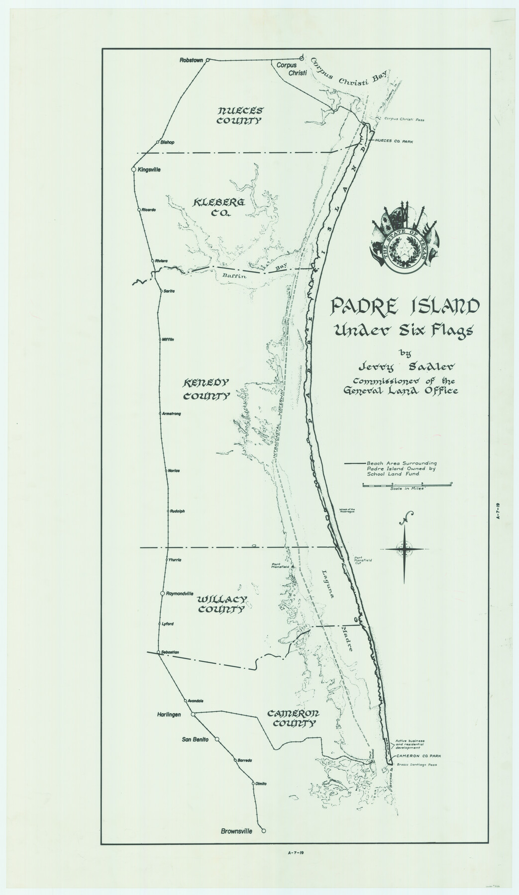
Padre Island Under Six Flags
A-7-19
-
Map/Doc
3126
-
Collection
General Map Collection
-
Object Dates
1962 (Creation Date)
-
People and Organizations
General Land Office (Publisher)
Eltea Armstrong (Draftsman)
Jerry Sadler (GLO Commissioner)
-
Counties
Nueces Kleberg Kenedy Willacy Cameron
-
Subjects
County Pictorial
-
Height x Width
63.7 x 36.9 inches
161.8 x 93.7 cm
-
Comments
Partially adopted in 2005 by the James and Margaret Earthman Foundation, Inc.
Conservation funded in 2006 by Friends of the Texas General Land Office and James and Margaret Earthman Foundation, Inc.
Part of: General Map Collection
Goliad County Sketch File 4

Print $6.00
- Digital $50.00
Goliad County Sketch File 4
1857
Size 7.7 x 12.3 inches
Map/Doc 24216
Map of Kinney County

Print $20.00
- Digital $50.00
Map of Kinney County
1888
Size 27.5 x 26.1 inches
Map/Doc 3779

Loving County Rolled Sketch 7

Print $20.00
- Digital $50.00
Loving County Rolled Sketch 7
Size 24.1 x 28.4 inches
Map/Doc 7479
Flight Mission No. CRC-2R, Frame 123, Chambers County

Print $20.00
- Digital $50.00
Flight Mission No. CRC-2R, Frame 123, Chambers County
1956
Size 18.6 x 22.4 inches
Map/Doc 84747
Culberson County Rolled Sketch 60

Print $46.00
- Digital $50.00
Culberson County Rolled Sketch 60
1968
Size 58.9 x 31.3 inches
Map/Doc 8761
King County Working Sketch 16

Print $40.00
- Digital $50.00
King County Working Sketch 16
1979
Size 41.4 x 59.4 inches
Map/Doc 70180
Terrell County Working Sketch 22

Print $20.00
- Digital $50.00
Terrell County Working Sketch 22
1937
Size 28.8 x 26.5 inches
Map/Doc 62172
Collin County Sketch File 4

Print $4.00
- Digital $50.00
Collin County Sketch File 4
1856
Size 10.0 x 8.0 inches
Map/Doc 18862
Plat Showing the Development of Texas Counties from the Original Land Districts

Print $40.00
- Digital $50.00
Plat Showing the Development of Texas Counties from the Original Land Districts
Size 49.1 x 28.1 inches
Map/Doc 75932
Upshur County Working Sketch 14

Print $20.00
- Digital $50.00
Upshur County Working Sketch 14
1993
Size 23.1 x 37.1 inches
Map/Doc 69571
Intracoastal Waterway in Texas - Corpus Christi to Point Isabel including Arroyo Colorado to Mo. Pac. R.R. Bridge Near Harlingen

Print $20.00
- Digital $50.00
Intracoastal Waterway in Texas - Corpus Christi to Point Isabel including Arroyo Colorado to Mo. Pac. R.R. Bridge Near Harlingen
1933
Size 28.2 x 41.0 inches
Map/Doc 61846
You may also like
Mills County Boundary File 9

Print $40.00
- Digital $50.00
Mills County Boundary File 9
Size 13.7 x 8.6 inches
Map/Doc 57318
Fort Bend County Working Sketch 17

Print $20.00
- Digital $50.00
Fort Bend County Working Sketch 17
1955
Size 25.1 x 31.1 inches
Map/Doc 69223
Map of the Republic of Texas Shewing [sic] its division into Counties and Latest Improvements to 1837
![476, Map of the Republic of Texas Shewing [sic] its division into Counties and Latest Improvements to 1837, General Map Collection](https://historictexasmaps.com/wmedia_w700/maps/476-1.tif.jpg)
Print $20.00
- Digital $50.00
Map of the Republic of Texas Shewing [sic] its division into Counties and Latest Improvements to 1837
1837
Size 28.2 x 23.0 inches
Map/Doc 476
Revised Map of Jefferson County Texas

Print $20.00
- Digital $50.00
Revised Map of Jefferson County Texas
1898
Size 30.1 x 24.5 inches
Map/Doc 78177
Pecos County Working Sketch 29

Print $20.00
- Digital $50.00
Pecos County Working Sketch 29
1935
Size 24.3 x 24.0 inches
Map/Doc 71501
Flight Mission No. CGI-3N, Frame 144, Cameron County

Print $20.00
- Digital $50.00
Flight Mission No. CGI-3N, Frame 144, Cameron County
1954
Size 18.8 x 22.4 inches
Map/Doc 84617
Hudspeth County Sketch File 21a

Print $10.00
- Digital $50.00
Hudspeth County Sketch File 21a
Size 10.6 x 8.4 inches
Map/Doc 26969
Map of Copano, St. Charles, Aransas & Red Fish Bays in Aransas & Nueces Counties showing subdivision thereof for mineral development

Print $40.00
- Digital $50.00
Map of Copano, St. Charles, Aransas & Red Fish Bays in Aransas & Nueces Counties showing subdivision thereof for mineral development
Size 57.9 x 42.7 inches
Map/Doc 65805
The Republic County of San Patricio. December 2, 1841

Print $20.00
The Republic County of San Patricio. December 2, 1841
2020
Size 22.2 x 21.7 inches
Map/Doc 96277
Harris County Sketch File 92

Print $20.00
- Digital $50.00
Harris County Sketch File 92
1932
Size 37.9 x 35.0 inches
Map/Doc 10483
Upton County Rolled Sketch 48

Print $20.00
- Digital $50.00
Upton County Rolled Sketch 48
1958
Size 27.8 x 27.9 inches
Map/Doc 10694
Young County Sketch File 11

Print $4.00
- Digital $50.00
Young County Sketch File 11
1877
Size 10.1 x 8.5 inches
Map/Doc 40874