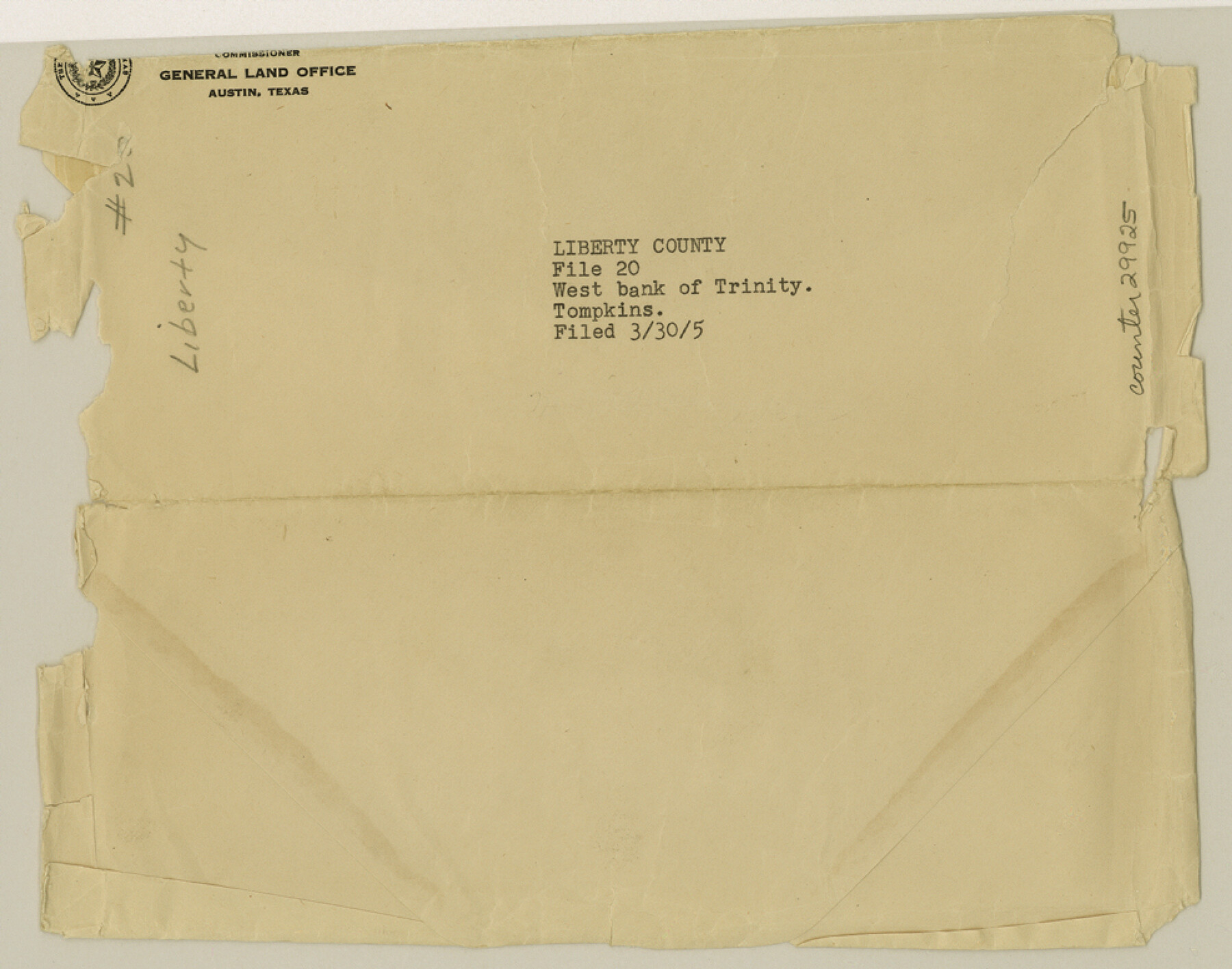
Liberty County Sketch File 20
[Sketch of area on west bank of Trinity River in north part of Liberty County and extending into San Jacinto County]
-
Map/Doc
29925
-
Collection
General Map Collection
-
Object Dates
3/30/1859 (File Date)
-
People and Organizations
A.N.B. Tompkins (Surveyor/Engineer)
-
Counties
Liberty San Jacinto
-
Subjects
Surveying Sketch File
-
Height x Width
7.8 x 9.9 inches
19.8 x 25.2 cm
-
Medium
paper, manuscript
Part of: General Map Collection
Kent County Working Sketch 23

Print $20.00
- Digital $50.00
Kent County Working Sketch 23
1987
Size 47.2 x 43.0 inches
Map/Doc 70030
Montague County Working Sketch 37

Print $20.00
- Digital $50.00
Montague County Working Sketch 37
1981
Size 16.7 x 12.9 inches
Map/Doc 71103
Limestone County Sketch File 23

Print $6.00
- Digital $50.00
Limestone County Sketch File 23
1908
Size 10.9 x 7.1 inches
Map/Doc 30203
McCulloch County Boundary File 64

Print $36.00
- Digital $50.00
McCulloch County Boundary File 64
Size 9.2 x 8.9 inches
Map/Doc 56919
Flight Mission No. CUG-3P, Frame 92, Kleberg County

Print $20.00
- Digital $50.00
Flight Mission No. CUG-3P, Frame 92, Kleberg County
1956
Size 18.4 x 22.2 inches
Map/Doc 86262
Flight Mission No. CRC-3R, Frame 99, Chambers County

Print $20.00
- Digital $50.00
Flight Mission No. CRC-3R, Frame 99, Chambers County
1956
Size 18.7 x 22.4 inches
Map/Doc 84837
Flight Mission No. CUG-2P, Frame 86, Kleberg County

Print $20.00
- Digital $50.00
Flight Mission No. CUG-2P, Frame 86, Kleberg County
1956
Size 18.5 x 22.2 inches
Map/Doc 86218
Map of Comanche County

Print $40.00
- Digital $50.00
Map of Comanche County
1895
Size 47.5 x 50.0 inches
Map/Doc 4735
Hudspeth County Working Sketch 40

Print $20.00
- Digital $50.00
Hudspeth County Working Sketch 40
1981
Size 35.6 x 43.8 inches
Map/Doc 66325
Flight Mission No. DAG-23K, Frame 142, Matagorda County

Print $20.00
- Digital $50.00
Flight Mission No. DAG-23K, Frame 142, Matagorda County
1953
Size 18.4 x 22.4 inches
Map/Doc 86490
Liberty County Working Sketch 91b

Print $40.00
- Digital $50.00
Liberty County Working Sketch 91b
1919
Size 48.7 x 42.1 inches
Map/Doc 65458
Atascosa County Boundary File 7

Print $20.00
- Digital $50.00
Atascosa County Boundary File 7
Size 8.2 x 10.1 inches
Map/Doc 50213
You may also like
Uvalde County

Print $20.00
- Digital $50.00
Uvalde County
1976
Size 42.0 x 45.4 inches
Map/Doc 77444
Brewster County Rolled Sketch 129

Print $20.00
- Digital $50.00
Brewster County Rolled Sketch 129
1978
Size 24.4 x 15.3 inches
Map/Doc 5301
Leon County Working Sketch 1

Print $20.00
- Digital $50.00
Leon County Working Sketch 1
Size 16.1 x 18.7 inches
Map/Doc 70400
Wood County Boundary File 7

Print $34.00
- Digital $50.00
Wood County Boundary File 7
Size 13.3 x 8.8 inches
Map/Doc 60187
General Highway Map, Ellis County, Texas

Print $20.00
General Highway Map, Ellis County, Texas
1961
Size 18.2 x 24.6 inches
Map/Doc 79453
Flight Mission No. DAH-9M, Frame 158, Orange County

Print $20.00
- Digital $50.00
Flight Mission No. DAH-9M, Frame 158, Orange County
1953
Size 18.4 x 22.3 inches
Map/Doc 86857
Hardin County Boundary File 40

Print $14.00
- Digital $50.00
Hardin County Boundary File 40
Size 9.0 x 3.5 inches
Map/Doc 54409
Van Zandt County Working Sketch Graphic Index

Print $20.00
- Digital $50.00
Van Zandt County Working Sketch Graphic Index
1972
Size 46.2 x 40.7 inches
Map/Doc 76727
Mills County Sketch File 28

Print $8.00
- Digital $50.00
Mills County Sketch File 28
2000
Size 14.3 x 8.7 inches
Map/Doc 31684
[Sketch for Mineral Application 1487 -Big Wichita River, Ernest R. Smith]
![65685, [Sketch for Mineral Application 1487 -Big Wichita River, Ernest R. Smith], General Map Collection](https://historictexasmaps.com/wmedia_w700/maps/65685.tif.jpg)
Print $40.00
- Digital $50.00
[Sketch for Mineral Application 1487 -Big Wichita River, Ernest R. Smith]
1918
Size 129.3 x 31.5 inches
Map/Doc 65685
Midland County Working Sketch 25

Print $40.00
- Digital $50.00
Midland County Working Sketch 25
1957
Size 58.3 x 49.1 inches
Map/Doc 71006
